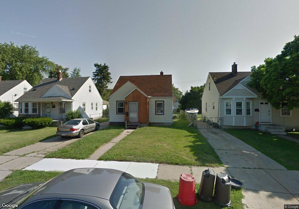
1872 Council Ave Lincoln Park, MI 48146
Estimated Value: $113,966 - $158,000
--
Bed
1
Bath
1,015
Sq Ft
$137/Sq Ft
Est. Value
About This Home
This home is located at 1872 Council Ave, Lincoln Park, MI 48146 and is currently estimated at $139,492, approximately $137 per square foot. 1872 Council Ave is a home located in Wayne County with nearby schools including Lafayette School, Lincoln Park Middle School, and Lincoln Park High School.
Ownership History
Date
Name
Owned For
Owner Type
Purchase Details
Closed on
Mar 22, 2017
Sold by
Flores Noe and Flores Sarah
Bought by
Santana Nunez Giovanni
Current Estimated Value
Purchase Details
Closed on
Dec 3, 2012
Sold by
Wayne County Treasurer
Bought by
Flores Noe
Purchase Details
Closed on
Mar 28, 2003
Sold by
Wadha Jeffrey D
Bought by
Cooper Douglas
Purchase Details
Closed on
Mar 4, 2003
Sold by
Ian Allen Investments Llc
Bought by
Wadha Jeffrey D
Purchase Details
Closed on
Jul 26, 2002
Sold by
Hud
Bought by
Ian Allen Investments Llc
Purchase Details
Closed on
Dec 14, 2001
Sold by
Countrywide Home Loans I
Bought by
Hud
Purchase Details
Closed on
Oct 10, 2001
Sold by
Gilmer Steven B
Bought by
Countrywide Home Loans Inc
Create a Home Valuation Report for This Property
The Home Valuation Report is an in-depth analysis detailing your home's value as well as a comparison with similar homes in the area
Home Values in the Area
Average Home Value in this Area
Purchase History
| Date | Buyer | Sale Price | Title Company |
|---|---|---|---|
| Santana Nunez Giovanni | $8,000 | None Available | |
| Flores Noe | $5,100 | None Available | |
| Cooper Douglas | $74,000 | American Titleworks | |
| Wadha Jeffrey D | -- | American Titleworks | |
| Ian Allen Investments Llc | $54,506 | -- | |
| Hud | -- | -- | |
| Countrywide Home Loans Inc | $65,517 | -- |
Source: Public Records
Tax History Compared to Growth
Tax History
| Year | Tax Paid | Tax Assessment Tax Assessment Total Assessment is a certain percentage of the fair market value that is determined by local assessors to be the total taxable value of land and additions on the property. | Land | Improvement |
|---|---|---|---|---|
| 2025 | $1,367 | $58,800 | $0 | $0 |
| 2024 | $1,367 | $48,700 | $0 | $0 |
| 2023 | $1,298 | $41,500 | $0 | $0 |
| 2022 | $1,447 | $34,300 | $0 | $0 |
| 2021 | $1,411 | $33,800 | $0 | $0 |
| 2020 | $1,397 | $27,100 | $0 | $0 |
| 2019 | $1,171 | $21,200 | $0 | $0 |
| 2018 | $1,080 | $18,400 | $0 | $0 |
| 2017 | $626 | $19,800 | $0 | $0 |
| 2016 | $1,436 | $20,100 | $0 | $0 |
| 2015 | $1,970 | $19,700 | $0 | $0 |
| 2013 | $2,100 | $21,900 | $0 | $0 |
| 2012 | $1,981 | $22,800 | $5,700 | $17,100 |
Source: Public Records
Map
Nearby Homes
- 1862 Montie Rd
- 1840 Morris Ave
- 1826 Morris Ave
- 2064 Morris Ave
- 1807 Morris Ave
- 2190 Morris Ave
- 819 Frank Ave
- 19120 Dix Rd
- 2105 Paris Ave
- 4020 Wall Ave
- 3603 Harlow Ave
- 14545 College Ave
- 2573 Grace St
- 000 Harlow St
- 2790 Blanche St
- 14633 College Ave
- 19211 Wall St
- 1587 Reo Ave
- 2523 David St
- 1921 Hanford Ave
- 1866 Council Ave
- 1876 Council Ave
- 1862 Council Ave
- 1906 Council Ave
- 1858 Council Ave
- 1912 Council Ave
- 1865 Charter St
- 1871 Charter St
- 1871 Council Ave
- 1875 Charter St
- 1865 Council Ave
- 1905 Council Ave
- 1854 Council Ave
- 1854 Council Rd
- 1918 Council Ave
- 1859 Charter St
- 1911 Council Ave
- 1913 Charter St
- 1861 Council Ave
- 1917 Council Ave