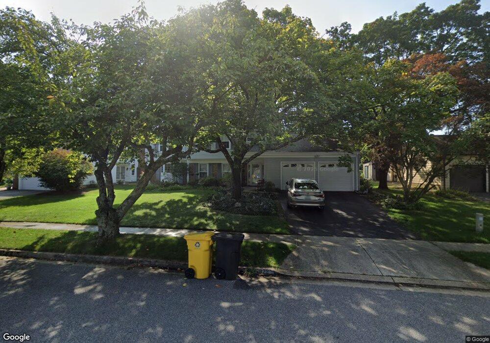
1872 Harcourt Ave Crofton, MD 21114
Estimated Value: $636,690 - $746,000
Studio
4
Baths
2,536
Sq Ft
$269/Sq Ft
Est. Value
About This Home
This home is located at 1872 Harcourt Ave, Crofton, MD 21114 and is currently estimated at $682,173, approximately $268 per square foot. 1872 Harcourt Ave is a home located in Anne Arundel County with nearby schools including Crofton Woods Elementary School, Crofton Middle School, and Crofton High School.
Ownership History
Date
Name
Owned For
Owner Type
Purchase Details
Closed on
May 8, 1995
Sold by
Gayman Roger B
Bought by
Novotny Joseph R
Current Estimated Value
Home Financials for this Owner
Home Financials are based on the most recent Mortgage that was taken out on this home.
Original Mortgage
$173,700
Interest Rate
8.36%
Purchase Details
Closed on
Aug 8, 1990
Sold by
Warren David R
Bought by
Gayman Roger B
Home Financials for this Owner
Home Financials are based on the most recent Mortgage that was taken out on this home.
Original Mortgage
$183,500
Interest Rate
9.84%
Create a Home Valuation Report for This Property
The Home Valuation Report is an in-depth analysis detailing your home's value as well as a comparison with similar homes in the area
Home Values in the Area
Average Home Value in this Area
Purchase History
| Date | Buyer | Sale Price | Title Company |
|---|---|---|---|
| Novotny Joseph R | $193,000 | -- | |
| Gayman Roger B | $183,500 | -- |
Source: Public Records
Mortgage History
| Date | Status | Borrower | Loan Amount |
|---|---|---|---|
| Closed | Novotny Joseph R | $173,700 | |
| Previous Owner | Gayman Roger B | $183,500 |
Source: Public Records
Tax History
| Year | Tax Paid | Tax Assessment Tax Assessment Total Assessment is a certain percentage of the fair market value that is determined by local assessors to be the total taxable value of land and additions on the property. | Land | Improvement |
|---|---|---|---|---|
| 2025 | $4,219 | $532,467 | -- | -- |
| 2024 | $4,219 | $505,633 | $0 | $0 |
Source: Public Records
Map
Nearby Homes
- 1762 Lang Dr
- 1426 Knights Bridge Turn
- 1860 Yeoman Ct
- 1306 Persimmontree Ct
- 1697 Barrister Ct
- 1822 Foxdale Ct
- 1753 Castleford Square
- 1457 Tana Ln
- 1725 Tarrytown Ave
- 1629 Eton Way
- 1555 Crofton Pkwy
- 1581 Crofton Pkwy
- 2004 Cambridge Dr
- 2059 Happy Ln Unit E
- 1705 Fillmore Ct
- 1734 Dana St
- 1698 Tarleton Way
- 1699 Freemont Ct
- 1704 Tarleton Way
- 1683 Hart Ct
- 1870 Harcourt Ave
- 1874 Harcourt Ave
- 1868 Harcourt Ave
- 1876 Harcourt Ave
- 1867 Harcourt Ave
- 1865 Harcourt Ave
- 1869 Harcourt Ave
- 1866 Harcourt Ave
- 1878 Harcourt Ave
- 1863 Harcourt Ave
- 1452 Hylton Place
- 1871 Harcourt Ave
- 1864 Harcourt Ave
- 1453 Hylton Place
- 1880 Harcourt Ave
- 1861 Harcourt Ave
- 1454 Hylton Place
- 1455 Harwell Ave
- 1873 Harcourt Ave
- 1453 Harwell Ave
Your Personal Tour Guide
Ask me questions while you tour the home.