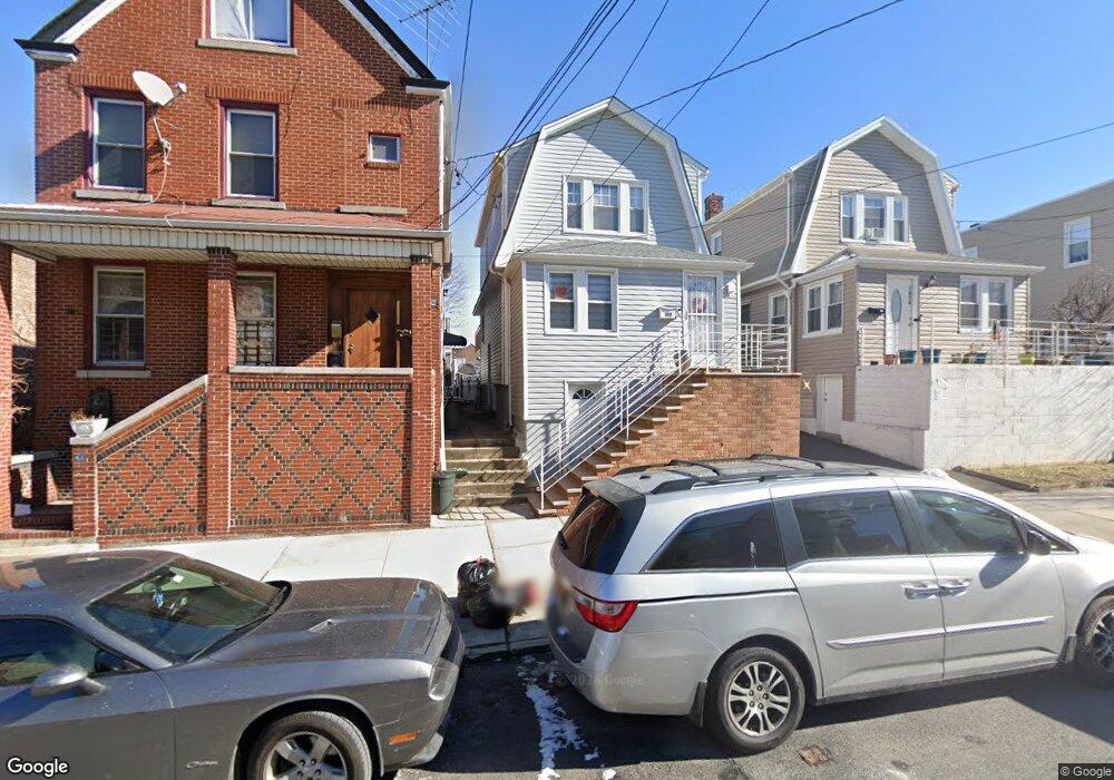
1872 Mulford Ave Bronx, NY 10461
Middletown-Pelham Bay NeighborhoodEstimated Value: $635,000 - $795,000
3
Beds
2
Baths
1,008
Sq Ft
$686/Sq Ft
Est. Value
About This Home
This home is located at 1872 Mulford Ave, Bronx, NY 10461 and is currently estimated at $691,010, approximately $685 per square foot. 1872 Mulford Ave is a home located in Bronx County with nearby schools including P.S. 71 Rose E Scala, Herbert H Lehman High School, and St. Theresa School.
Ownership History
Date
Name
Owned For
Owner Type
Purchase Details
Closed on
Apr 8, 2011
Sold by
Campanelli Benedetta and Campanelli Francis P
Bought by
Ramos Evelyn and Rios Madeline
Current Estimated Value
Home Financials for this Owner
Home Financials are based on the most recent Mortgage that was taken out on this home.
Original Mortgage
$372,958
Outstanding Balance
$256,826
Interest Rate
4.76%
Mortgage Type
Purchase Money Mortgage
Estimated Equity
$434,184
Create a Home Valuation Report for This Property
The Home Valuation Report is an in-depth analysis detailing your home's value as well as a comparison with similar homes in the area
Home Values in the Area
Average Home Value in this Area
Purchase History
| Date | Buyer | Sale Price | Title Company |
|---|---|---|---|
| Ramos Evelyn | $382,660 | -- |
Source: Public Records
Mortgage History
| Date | Status | Borrower | Loan Amount |
|---|---|---|---|
| Open | Ramos Evelyn | $372,958 |
Source: Public Records
Tax History Compared to Growth
Tax History
| Year | Tax Paid | Tax Assessment Tax Assessment Total Assessment is a certain percentage of the fair market value that is determined by local assessors to be the total taxable value of land and additions on the property. | Land | Improvement |
|---|---|---|---|---|
| 2025 | $5,230 | $27,648 | $7,233 | $20,415 |
| 2024 | $5,230 | $27,440 | $7,690 | $19,750 |
| 2023 | $4,973 | $25,887 | $7,000 | $18,887 |
| 2022 | $4,588 | $32,520 | $10,140 | $22,380 |
| 2021 | $4,546 | $30,000 | $10,140 | $19,860 |
| 2020 | $4,581 | $27,900 | $10,140 | $17,760 |
| 2019 | $4,491 | $23,760 | $10,140 | $13,620 |
| 2018 | $4,100 | $21,573 | $8,420 | $13,153 |
| 2017 | $3,849 | $20,352 | $9,172 | $11,180 |
| 2016 | $3,528 | $19,200 | $10,140 | $9,060 |
| 2015 | $2,347 | $21,039 | $10,491 | $10,548 |
| 2014 | $2,347 | $20,859 | $10,402 | $10,457 |
Source: Public Records
Map
Nearby Homes
- 1865 Mulford Ave
- 1836 Mulford Ave
- 1826 Mulford Ave
- 1926 Hutchinson River Pkwy E Unit E
- 2884 Saint Theresa Ave
- 1725 Edison Ave Unit 4C
- 1725 Edison Ave Unit 2D
- 1950 Pilgrim Ave
- 3036 Buhre Ave
- 1619 Mulford Ave
- 2871 E 194th St
- 2010 Hobart Ave
- 2887 E 194th St
- 1711 Mahan Ave
- 2866 Middletown Rd
- 2935 Middletown Rd Unit B
- 2032 Hobart Ave
- 2941 Middletown Rd
- 2873 Roebling Ave
- 2024 Continental Ave
- 1874 Mulford Ave Unit 2
- 1874 Mulford Ave
- 1874 Mulford Ave Unit 1876
- 1870 Mulford Ave
- 1876 Mulford Ave
- 1866 Mulford Ave
- 1864 Mulford Ave
- 1857 Mayflower Ave
- 1855 Mayflower Ave
- 1859 Mayflower Ave
- 1859 Mayflower Ave Unit 3
- 1865 Mayflower Ave
- 1853 Mayflower Ave
- 1861 Mayflower Ave
- 1862 Mulford Ave
- 1851 Mayflower Ave
- 1851 Mayflower Ave
- 1851 Mayflower Ave Unit HOUSE
- 1886 Mulford Ave
- 1847 Mayflower Ave