18720 State Route 203 Monroe, WA 98272
--
Bed
--
Bath
--
Sq Ft
20.51
Acres
About This Home
This home is located at 18720 State Route 203, Monroe, WA 98272. 18720 State Route 203 is a home located in Snohomish County with nearby schools including Frank Wagner Elementary School, Monroe High School, and Monroe Montessori School.
Ownership History
Date
Name
Owned For
Owner Type
Purchase Details
Closed on
Nov 8, 2021
Sold by
Westcoast Wholesale Nursery Llc
Bought by
C & M Resources Llc
Home Financials for this Owner
Home Financials are based on the most recent Mortgage that was taken out on this home.
Original Mortgage
$1,276,100
Outstanding Balance
$1,170,297
Interest Rate
3.05%
Mortgage Type
New Conventional
Purchase Details
Closed on
Apr 9, 2001
Sold by
Sharpe James C
Bought by
Westcoast Wholesale Nursery Llc
Create a Home Valuation Report for This Property
The Home Valuation Report is an in-depth analysis detailing your home's value as well as a comparison with similar homes in the area
Home Values in the Area
Average Home Value in this Area
Purchase History
| Date | Buyer | Sale Price | Title Company |
|---|---|---|---|
| C & M Resources Llc | $1,950,000 | Old Republic Title Ltd | |
| Westcoast Wholesale Nursery Llc | -- | -- |
Source: Public Records
Mortgage History
| Date | Status | Borrower | Loan Amount |
|---|---|---|---|
| Open | C & M Resources Llc | $1,276,100 |
Source: Public Records
Tax History Compared to Growth
Tax History
| Year | Tax Paid | Tax Assessment Tax Assessment Total Assessment is a certain percentage of the fair market value that is determined by local assessors to be the total taxable value of land and additions on the property. | Land | Improvement |
|---|---|---|---|---|
| 2025 | $3,450 | $378,400 | $311,000 | $67,400 |
| 2024 | $3,450 | $408,900 | $356,900 | $52,000 |
| 2023 | $3,175 | $410,500 | $356,900 | $53,600 |
| 2022 | $2,882 | $293,300 | $238,900 | $54,400 |
| 2020 | $2,869 | $282,700 | $228,900 | $53,800 |
| 2019 | $2,880 | $283,500 | $228,900 | $54,600 |
| 2018 | $3,111 | $248,200 | $192,900 | $55,300 |
| 2017 | $2,426 | $199,700 | $142,900 | $56,800 |
| 2016 | $2,310 | $171,500 | $114,000 | $57,500 |
| 2015 | $2,062 | $149,900 | $102,000 | $47,900 |
| 2013 | $2,230 | $148,400 | $94,500 | $53,900 |
Source: Public Records
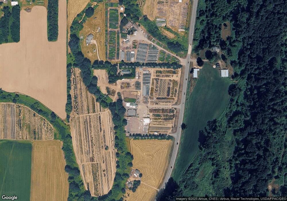
Map
Nearby Homes
- 189 XX 209th Ave SE
- 18732 High Rock Rd
- 535 Terrace St
- 520 S Kelsey St
- 850 Village Way
- 523 Park St
- 643 Monroe St
- 628 Roberts St
- 517 Roberts St
- 1017 W Main St Unit B101
- 304 S Lewis St
- 16311 177th Ave SE
- 216 S Blakeley St
- 17510 W Main St Unit C103
- 162 Charles St
- 1152 Johnson St SE
- 319 Short Columbia St
- 230 N Madison St
- 17417 W Main St Unit E101
- 18155 W Columbia St
- 18720 Washington 203
- 18532 State Route 203
- 18529 State Route 203
- 18510 State Route 203
- 18910 State Route 203
- 18318 State Route 203
- 18206 State Route 203
- 18333 Tualco Rd
- 18126 State Route 203
- 18007 Tualco Rd
- 18405 Tualco Rd
- 18232 201st Ave SE
- 18005 Tualco Rd
- 18425 Tualco Rd
- 18121 Tualco Rd
- 18413 Tualco Rd
- 18429 Tualco Rd
- 18228 201st Ave SE
- 18122 State Route 203
- 18410 Tualco Rd