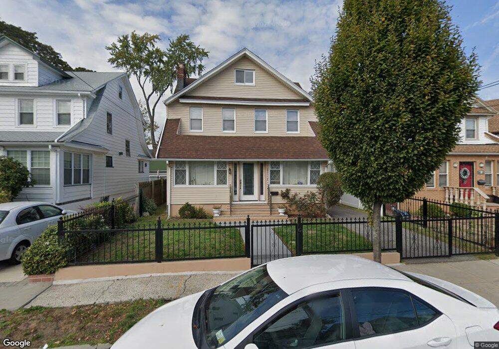
18721 Rome Dr Saint Albans, NY 11412
Saint Albans NeighborhoodEstimated Value: $652,801 - $799,000
--
Bed
--
Bath
1,700
Sq Ft
$443/Sq Ft
Est. Value
About This Home
This home is located at 18721 Rome Dr, Saint Albans, NY 11412 and is currently estimated at $753,200, approximately $443 per square foot. 18721 Rome Dr is a home located in Queens County with nearby schools including Ps 36 St Albans School, Is 59 Springfield Gardens, and Riverton Street Charter School.
Ownership History
Date
Name
Owned For
Owner Type
Purchase Details
Closed on
Jul 29, 2014
Sold by
Mclennon Doreen and Mclennon Janice
Bought by
Mclennon Janice
Current Estimated Value
Purchase Details
Closed on
Aug 8, 2001
Sold by
Mclennon Janice
Bought by
Mclennon Doreen and Mc Lennon Janice
Home Financials for this Owner
Home Financials are based on the most recent Mortgage that was taken out on this home.
Original Mortgage
$134,000
Interest Rate
6.6%
Purchase Details
Closed on
Oct 30, 1998
Sold by
Pierre Wesner and Pierre Barbara
Bought by
Mclennon Janice
Home Financials for this Owner
Home Financials are based on the most recent Mortgage that was taken out on this home.
Original Mortgage
$136,875
Interest Rate
6.85%
Mortgage Type
Balloon
Create a Home Valuation Report for This Property
The Home Valuation Report is an in-depth analysis detailing your home's value as well as a comparison with similar homes in the area
Home Values in the Area
Average Home Value in this Area
Purchase History
| Date | Buyer | Sale Price | Title Company |
|---|---|---|---|
| Mclennon Janice | -- | -- | |
| Mclennon Doreen | -- | -- | |
| Mclennon Janice | $182,500 | First American Title Ins Co |
Source: Public Records
Mortgage History
| Date | Status | Borrower | Loan Amount |
|---|---|---|---|
| Previous Owner | Mclennon Doreen | $134,000 | |
| Previous Owner | Mclennon Janice | $136,875 |
Source: Public Records
Tax History Compared to Growth
Tax History
| Year | Tax Paid | Tax Assessment Tax Assessment Total Assessment is a certain percentage of the fair market value that is determined by local assessors to be the total taxable value of land and additions on the property. | Land | Improvement |
|---|---|---|---|---|
| 2025 | $5,316 | $29,539 | $9,155 | $20,384 |
| 2024 | $5,328 | $27,868 | $8,115 | $19,753 |
| 2023 | $5,316 | $27,868 | $8,082 | $19,786 |
| 2022 | $5,202 | $39,000 | $12,720 | $26,280 |
| 2021 | $5,195 | $32,340 | $12,720 | $19,620 |
| 2020 | $4,914 | $33,720 | $12,720 | $21,000 |
| 2019 | $4,565 | $30,960 | $12,720 | $18,240 |
| 2018 | $4,436 | $23,223 | $9,691 | $13,532 |
| 2017 | $4,299 | $22,560 | $10,772 | $11,788 |
| 2016 | $4,037 | $22,560 | $10,772 | $11,788 |
| 2015 | $2,347 | $20,514 | $11,259 | $9,255 |
| 2014 | $2,347 | $19,353 | $12,758 | $6,595 |
Source: Public Records
Map
Nearby Homes
- 188-45 Quencer Rd
- 187-15 Tioga Dr
- 179-07 Murdock Ave
- 115-11 180th St
- 18908 114th Rd
- 189-18 114th Dr
- 188-07 Mangin Ave
- 18823 Mangin Ave
- 18833 Keeseville Ave
- 188-25 Mangin Ave
- 187-44 Jordan Ave
- 116-39 Newburg St
- 11480 178th Place
- 18918 Tioga Dr
- 11176 180th St
- 186-16 Hilburn Ave
- 191-16 114th Rd
- 115-72 Farmers Blvd
- 112- 2 178th St
- 112-13 178th St
- 18717 Rome Dr
- 18725 Rome Dr
- 18750 Quencer Rd
- 18713 Rome Dr
- 18756 Quencer Rd
- 18746 Quencer Rd
- 18709 Rome Dr
- 18718 Rome Dr
- 187-05 Rome Dr
- 18722 Rome Dr
- 18705 Rome Dr
- 18726 Rome Dr
- 18740 Quencer Rd
- 18718 Rome Dr
- 18740 Quencer Rd
- 18730 Rome Dr
- 18714 Rome Dr
- 11459 Dunkirk St
- 18734 Rome Dr
- 11516 Ovid Place