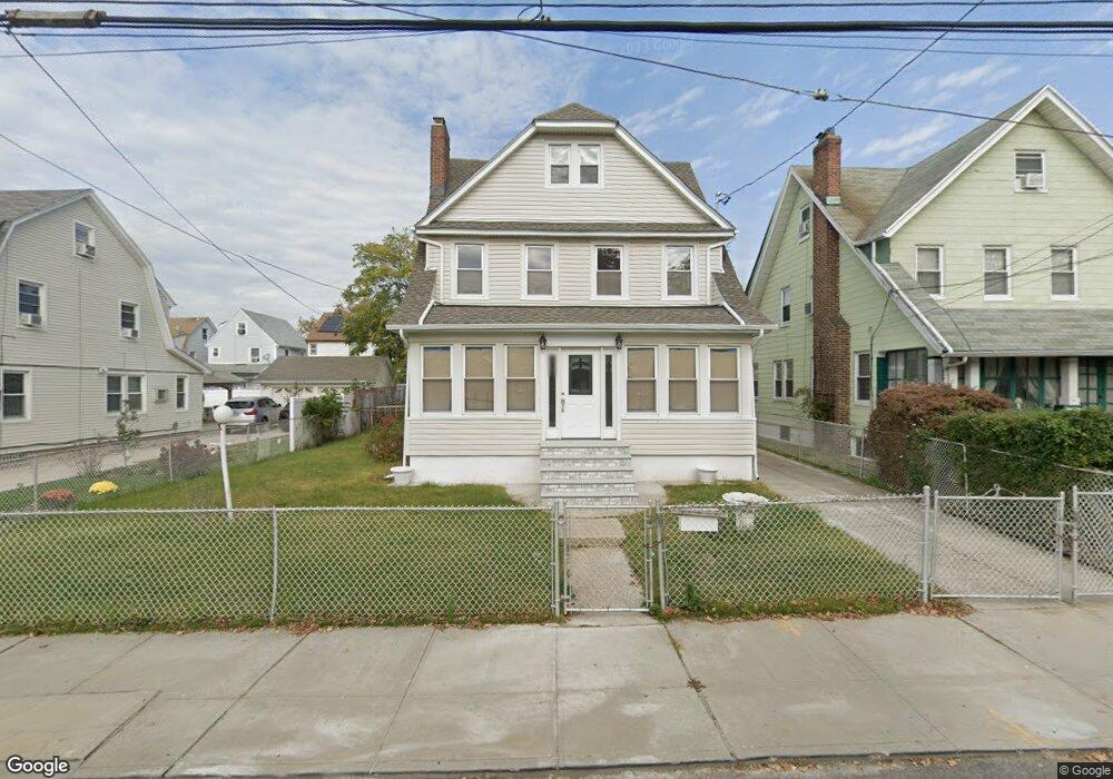
18729 Quencer Rd Saint Albans, NY 11412
Saint Albans NeighborhoodEstimated Value: $731,000 - $831,000
--
Bed
--
Bath
2,038
Sq Ft
$385/Sq Ft
Est. Value
About This Home
This home is located at 18729 Quencer Rd, Saint Albans, NY 11412 and is currently estimated at $785,391, approximately $385 per square foot. 18729 Quencer Rd is a home located in Queens County with nearby schools including Ps 36 St Albans School, Is 59 Springfield Gardens, and Riverton Street Charter School.
Ownership History
Date
Name
Owned For
Owner Type
Purchase Details
Closed on
Apr 8, 2022
Sold by
Deane Karen
Bought by
Deane Karen
Current Estimated Value
Purchase Details
Closed on
Jan 14, 2021
Sold by
Holland Gregory and Sharon A Porter As Trustee
Bought by
Deane Karen
Purchase Details
Closed on
Apr 25, 2017
Sold by
Roberson Thomas J and Sargent Earnest
Bought by
Porter As Trustee, Sharon A and Thomas Jefferson Roberson Irrevocable Tr
Purchase Details
Closed on
Jul 22, 2016
Sold by
Roberson Thomas J and Sargent Earnest A
Bought by
Holland Gregory and Roberson Thomas J
Create a Home Valuation Report for This Property
The Home Valuation Report is an in-depth analysis detailing your home's value as well as a comparison with similar homes in the area
Home Values in the Area
Average Home Value in this Area
Purchase History
| Date | Buyer | Sale Price | Title Company |
|---|---|---|---|
| Deane Karen | -- | -- | |
| Deane Karen | $400,000 | -- | |
| Porter As Trustee, Sharon A | -- | -- | |
| Holland Gregory | -- | -- |
Source: Public Records
Tax History Compared to Growth
Tax History
| Year | Tax Paid | Tax Assessment Tax Assessment Total Assessment is a certain percentage of the fair market value that is determined by local assessors to be the total taxable value of land and additions on the property. | Land | Improvement |
|---|---|---|---|---|
| 2025 | $6,716 | $33,442 | $10,554 | $22,888 |
| 2024 | $6,716 | $33,440 | $11,381 | $22,059 |
| 2023 | $6,549 | $32,246 | $10,589 | $21,657 |
| 2022 | $6,250 | $37,260 | $14,580 | $22,680 |
| 2021 | $6,216 | $35,040 | $14,580 | $20,460 |
| 2020 | $5,899 | $34,740 | $14,580 | $20,160 |
| 2019 | $5,537 | $34,020 | $14,580 | $19,440 |
| 2018 | $5,180 | $26,872 | $11,660 | $15,212 |
| 2017 | $5,019 | $26,092 | $12,530 | $13,562 |
| 2016 | $4,611 | $26,092 | $12,530 | $13,562 |
| 2015 | $2,749 | $23,223 | $15,000 | $8,223 |
| 2014 | $2,749 | $23,223 | $13,660 | $9,563 |
Source: Public Records
Map
Nearby Homes
- 188-45 Quencer Rd
- 187-15 Tioga Dr
- 179-07 Murdock Ave
- 115-11 180th St
- 188-07 Mangin Ave
- 18908 114th Rd
- 189-18 114th Dr
- 18823 Mangin Ave
- 11480 178th Place
- 188-25 Mangin Ave
- 18833 Keeseville Ave
- 11176 180th St
- 116-39 Newburg St
- 112- 2 178th St
- 187-44 Jordan Ave
- 18918 Tioga Dr
- 186-16 Hilburn Ave
- 112-13 178th St
- 111-54 178th Place
- 115-72 Farmers Blvd
- 187-29 Quencer Rd
- 18735 Quencer Rd
- 18727 Quencer Rd
- 18739 Quencer Rd
- 18725 Quencer Rd
- 18632 Dormans Rd
- 18644 Dormans Rd
- 18636 Dormans Rd
- 18630 Dormans Rd
- 18721 Quencer Rd
- 18632 Dormans Rd
- 187-21 Quencer Rd
- 18743 Quencer Rd
- 186-30 Dormans Rd
- 18626 Dormans Rd
- 18648 Dormans Rd
- 18732 Quencer Rd
- 18717 Quencer Rd
- 18624 Dormans Rd
- 18740 Quencer Rd