1873 Ladd Rd Unit Bldg-Unit Wolverine Lake, MI 48390
Estimated Value: $441,000 - $631,957
2
Beds
3
Baths
1,443
Sq Ft
$383/Sq Ft
Est. Value
About This Home
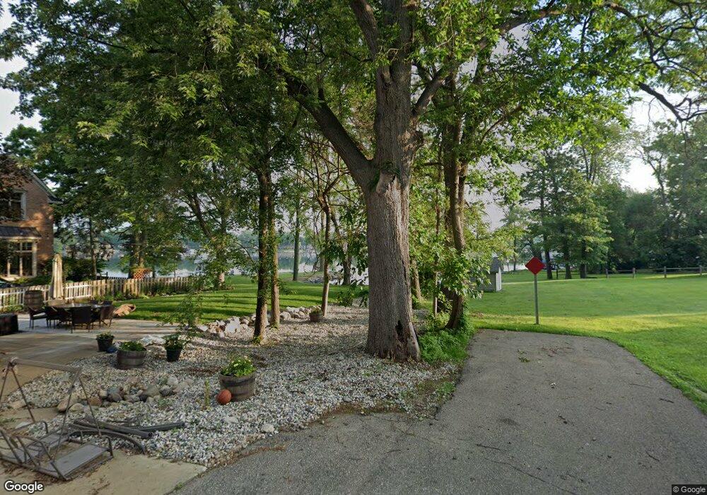
This home is located at 1873 Ladd Rd Unit Bldg-Unit, Wolverine Lake, MI 48390 and is currently estimated at $552,489, approximately $382 per square foot. 1873 Ladd Rd Unit Bldg-Unit is a home located in Oakland County with nearby schools including Loon Lake Elementary School, Sarah G. Banks Middle School, and Walled Lake Central High School.
Ownership History
Date
Name
Owned For
Owner Type
Purchase Details
Closed on
Nov 2, 2021
Sold by
Yaffa Brian T
Bought by
Yaffa Brian T and Yaffa Wendy
Current Estimated Value
Purchase Details
Closed on
Jul 31, 2019
Sold by
Yaffa Brian
Bought by
Yaffa Brian and Yaffa Wendy
Purchase Details
Closed on
Apr 17, 2018
Sold by
Muehl Adam
Bought by
Yaffa Brian
Purchase Details
Closed on
Jul 24, 2007
Sold by
Taylor Alan Dale and Taylor Marli C
Bought by
Citicorp Trust Bank Fsb
Purchase Details
Closed on
Nov 22, 1997
Sold by
Taylor Alan Dale
Bought by
Taylor Marli C
Create a Home Valuation Report for This Property
The Home Valuation Report is an in-depth analysis detailing your home's value as well as a comparison with similar homes in the area
Home Values in the Area
Average Home Value in this Area
Purchase History
| Date | Buyer | Sale Price | Title Company |
|---|---|---|---|
| Yaffa Brian T | -- | None Listed On Document | |
| Yaffa Brian | -- | None Available | |
| Yaffa Brian | $412,500 | Fidelity National Title | |
| Citicorp Trust Bank Fsb | $299,900 | None Available | |
| Taylor Marli C | -- | -- |
Source: Public Records
Tax History Compared to Growth
Tax History
| Year | Tax Paid | Tax Assessment Tax Assessment Total Assessment is a certain percentage of the fair market value that is determined by local assessors to be the total taxable value of land and additions on the property. | Land | Improvement |
|---|---|---|---|---|
| 2024 | $8,757 | $257,710 | $0 | $0 |
| 2023 | $8,446 | $245,820 | $0 | $0 |
| 2022 | $9,322 | $226,960 | $0 | $0 |
| 2021 | $7,487 | $215,150 | $0 | $0 |
| 2020 | $6,138 | $210,150 | $0 | $0 |
| 2019 | $5,144 | $191,570 | $0 | $0 |
| 2018 | $5,407 | $180,050 | $0 | $0 |
| 2017 | $5,327 | $180,050 | $0 | $0 |
| 2016 | $5,266 | $173,590 | $0 | $0 |
| 2015 | -- | $154,900 | $0 | $0 |
| 2014 | -- | $142,630 | $0 | $0 |
| 2011 | -- | $129,030 | $0 | $0 |
Source: Public Records
Map
Nearby Homes
- 1846 Ladd Rd
- 853 Adelaide Dr
- 1588 Ladd Rd
- 1148 Lakeview Dr
- 688 Wolverine Dr
- 657 Lucille Dr
- 1500 Rustic Ln
- 1443 West Dr
- 1442 Sunset Dr
- 1268 Amarillo St
- 2370 Roselawn St
- 2403 Terry St
- 2160 Darnell St
- 1476 Turner Dr Unit 3
- 2041 W Maple Rd
- 1490 Turner Dr Unit 2
- 1472 Turner Dr Unit 4
- 1496 Turner Dr Unit 1
- 1625 Mccoy St
- 1338 Andover Cir
- 1873 Ladd Rd
- 1865 Ladd Rd
- 1855 Ladd Rd
- 1860 Ladd Rd
- 1851 Ladd Rd
- 966 Wolverine Dr
- 1845 Ladd Rd
- 1796 Ladd Rd
- 958 Wolverine Dr
- 1004 Lakeview Dr
- 967 Wolverine Dr
- 950 Wolverine Dr
- 991 Alberton St
- 1010 Lakeview Dr
- 1766 Ladd Rd
- 960 Adelaide Dr
- 950 Adelaide Dr
- 973 Alberton St
- 1014 Lakeview Dr
- 971 Adelaide Dr