Estimated Value: $455,619 - $493,000
3
Beds
1
Bath
1,058
Sq Ft
$448/Sq Ft
Est. Value
About This Home
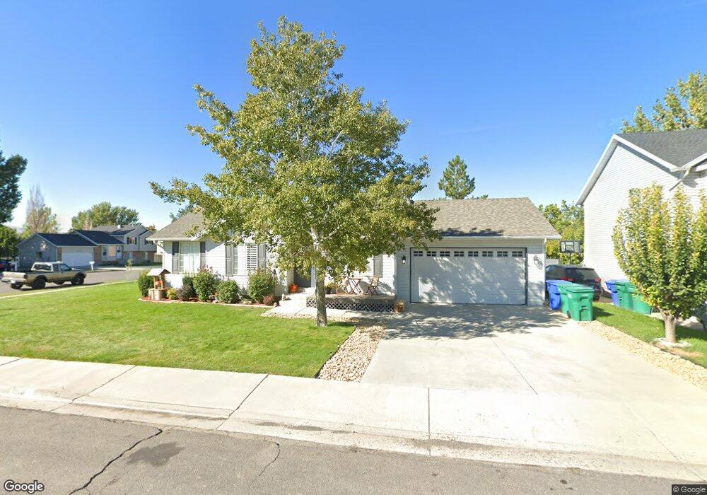
This home is located at 1873 N 1250 W, Lehi, UT 84043 and is currently estimated at $474,155, approximately $448 per square foot. 1873 N 1250 W is a home located in Utah County with nearby schools including Lehi Elementary School, Lehi Junior High School, and Lehi High School.
Ownership History
Date
Name
Owned For
Owner Type
Purchase Details
Closed on
Jun 21, 2021
Sold by
Goode Rusty and Goode Jennifer
Bought by
Rikli Austin J and Rikli Morgan R
Current Estimated Value
Home Financials for this Owner
Home Financials are based on the most recent Mortgage that was taken out on this home.
Original Mortgage
$23,565
Outstanding Balance
$21,345
Interest Rate
2.93%
Mortgage Type
New Conventional
Estimated Equity
$452,810
Purchase Details
Closed on
Sep 6, 2012
Sold by
Goode Rusty and Goode Jennifer
Bought by
Goode Rusty and Goode Jennifer
Create a Home Valuation Report for This Property
The Home Valuation Report is an in-depth analysis detailing your home's value as well as a comparison with similar homes in the area
Home Values in the Area
Average Home Value in this Area
Purchase History
| Date | Buyer | Sale Price | Title Company |
|---|---|---|---|
| Rikli Austin J | -- | First American Title Ins Co | |
| Goode Rusty | -- | None Available |
Source: Public Records
Mortgage History
| Date | Status | Borrower | Loan Amount |
|---|---|---|---|
| Open | Rikli Austin J | $23,565 | |
| Open | Rikli Austin J | $392,755 |
Source: Public Records
Tax History Compared to Growth
Tax History
| Year | Tax Paid | Tax Assessment Tax Assessment Total Assessment is a certain percentage of the fair market value that is determined by local assessors to be the total taxable value of land and additions on the property. | Land | Improvement |
|---|---|---|---|---|
| 2025 | $1,736 | $202,510 | $181,600 | $186,600 |
| 2024 | $1,736 | $203,115 | $0 | $0 |
| 2023 | $1,657 | $210,595 | $0 | $0 |
| 2022 | $1,733 | $213,510 | $0 | $0 |
| 2021 | $1,527 | $284,400 | $105,100 | $179,300 |
| 2020 | $1,439 | $264,900 | $97,300 | $167,600 |
| 2019 | $1,270 | $243,000 | $97,300 | $145,700 |
| 2018 | $1,246 | $225,400 | $92,300 | $133,100 |
| 2017 | $1,173 | $112,860 | $0 | $0 |
| 2016 | $1,132 | $101,035 | $0 | $0 |
| 2015 | $1,128 | $95,590 | $0 | $0 |
| 2014 | $1,035 | $87,120 | $0 | $0 |
Source: Public Records
Map
Nearby Homes
- 1272 W 1800 N
- 1249 W 1800 N
- 1011 W Mountain Way Unit 316
- 1610 N 1125 W
- 1332 W 1500 N
- 1817 W Bad Rock Cir
- 1094 W 1425 N
- 902 W 1500 N
- 5312 N Springview Ct Unit 106
- 1027 N 3685 W Unit 248
- 2191 W Swift Fox Dr Unit 274
- 999 Empire St
- 2184 W Cape Fox Way N Unit 220
- 1060 N Canvasback Dr Unit 405
- 1089 N 3685 W Unit 253
- 500 S Center St E
- 1077 N 3685 W Unit 252
- 1672 S 70 W
- 2209 W Swift Fox Way Unit 271
- 4238 N Braiken Ridge Rd W Unit 104