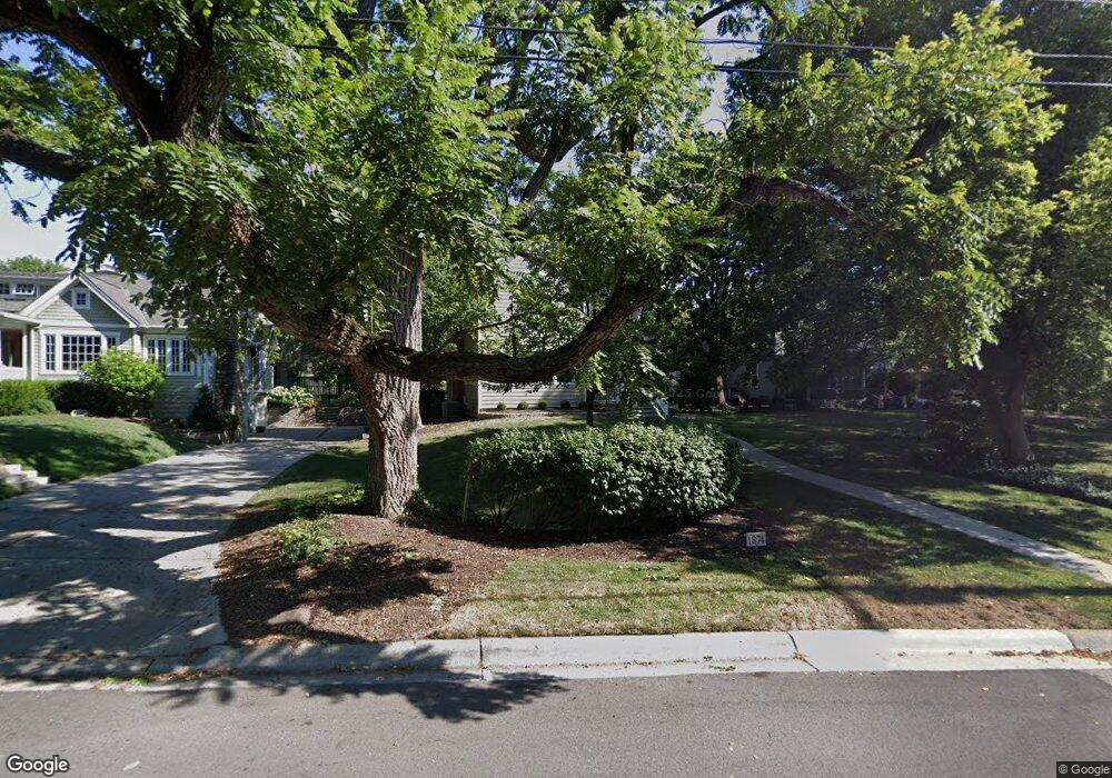
1874 Bluff Ave Columbus, OH 43212
Estimated Value: $616,000 - $953,000
4
Beds
3
Baths
2,512
Sq Ft
$341/Sq Ft
Est. Value
About This Home
This home is located at 1874 Bluff Ave, Columbus, OH 43212 and is currently estimated at $856,105, approximately $340 per square foot. 1874 Bluff Ave is a home located in Franklin County with nearby schools including Robert Louis Stevenson Elementary School, Larson Middle School, and Grandview Heights High School.
Ownership History
Date
Name
Owned For
Owner Type
Purchase Details
Closed on
Aug 28, 2014
Sold by
Ellis George M and Kitchen Karen A
Bought by
The Revocable Trust Of George M Ellis An
Current Estimated Value
Purchase Details
Closed on
Oct 13, 2005
Sold by
Diehl Cusack William W and Diehl Cusack Jeri
Bought by
Ellis George M and Kitchen Karen A
Home Financials for this Owner
Home Financials are based on the most recent Mortgage that was taken out on this home.
Original Mortgage
$280,000
Interest Rate
5.82%
Mortgage Type
Purchase Money Mortgage
Purchase Details
Closed on
Aug 13, 1986
Bought by
Cusack William W and Cusack Jeri D
Create a Home Valuation Report for This Property
The Home Valuation Report is an in-depth analysis detailing your home's value as well as a comparison with similar homes in the area
Home Values in the Area
Average Home Value in this Area
Purchase History
| Date | Buyer | Sale Price | Title Company |
|---|---|---|---|
| The Revocable Trust Of George M Ellis An | -- | None Available | |
| Ellis George M | $360,000 | -- | |
| Cusack William W | $99,500 | -- |
Source: Public Records
Mortgage History
| Date | Status | Borrower | Loan Amount |
|---|---|---|---|
| Previous Owner | Ellis George M | $280,000 |
Source: Public Records
Tax History
| Year | Tax Paid | Tax Assessment Tax Assessment Total Assessment is a certain percentage of the fair market value that is determined by local assessors to be the total taxable value of land and additions on the property. | Land | Improvement |
|---|---|---|---|---|
| 2025 | $12,730 | $228,060 | $81,410 | $146,650 |
| 2024 | $12,730 | $228,060 | $81,410 | $146,650 |
| 2023 | $11,183 | $228,060 | $81,410 | $146,650 |
| 2022 | $12,722 | $220,790 | $56,950 | $163,840 |
| 2021 | $11,911 | $220,790 | $56,950 | $163,840 |
| 2020 | $11,861 | $220,790 | $56,950 | $163,840 |
| 2019 | $11,708 | $193,980 | $56,950 | $137,030 |
| 2018 | $10,503 | $193,980 | $56,950 | $137,030 |
| 2017 | $10,916 | $193,980 | $56,950 | $137,030 |
| 2016 | $9,349 | $144,560 | $45,190 | $99,370 |
| 2015 | $9,350 | $144,560 | $45,190 | $99,370 |
| 2014 | $9,378 | $144,560 | $45,190 | $99,370 |
| 2013 | $4,094 | $131,425 | $41,090 | $90,335 |
Source: Public Records
Map
Nearby Homes
- 1230 Glenn Ave
- 1875 W 1st Ave
- 1000 Urlin Ave Unit 2007
- 1000 Urlin Ave Unit 1407
- 1000 Urlin Ave Unit 1007
- 1000 Urlin Ave Unit 1507
- 1000 Urlin Ave Unit 920
- 1000 Urlin Ave Unit 1402
- 1000 Urlin Ave Unit 1607
- 1000 Urlin Ave Unit 518
- 1263 Oakland Ave
- 1365 Elmwood Ave
- 1427 Roxbury Rd Unit Manor House North
- 1523 Wyandotte Rd
- 1445 W 2nd Ave
- 1561 Glenn Ave
- 1416 Inglis Ave
- 1411 Haines Ave
- 1579 Arlington Ave Unit 1579B
- 1324 Lake Shore Dr Unit B
- 1868 Bluff Ave
- 1894 Bluff Ave
- 1147 Glenn Ave
- 1134 Wyandotte Rd
- 1148 Wyandotte Rd
- 1155 Glenn Ave
- 1166 Wyandotte Rd
- 1130 Glenn Ave
- 1114 Wyandotte Rd
- 1860 Bluff Ave
- 1871 Bluff Ave
- 1134 Glenn Ave
- 0 Glenn Ave
- 1150 Glenn Ave
- 1172 Wyandotte Rd
- 1117 Wyandotte Rd
- 1165 Glenn Ave
- 1852 Bluff Ave
- 1857 Bluff Ave
- 1160 Glenn Ave
Your Personal Tour Guide
Ask me questions while you tour the home.