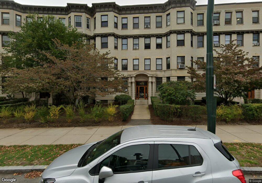
1874 Commonwealth Ave Unit 5 Brighton, MA 02135
Commonwealth NeighborhoodEstimated Value: $394,000 - $437,000
1
Bed
1
Bath
600
Sq Ft
$690/Sq Ft
Est. Value
About This Home
This home is located at 1874 Commonwealth Ave Unit 5, Brighton, MA 02135 and is currently estimated at $413,802, approximately $689 per square foot. 1874 Commonwealth Ave Unit 5 is a home located in Suffolk County with nearby schools including Shaloh House Jewish Day School, Torah Academy, and Bais Yaakov Of Boston High School.
Ownership History
Date
Name
Owned For
Owner Type
Purchase Details
Closed on
Oct 7, 2011
Sold by
Kruczek Scott and Montemurno Thomas
Bought by
Til & La & La Llc
Current Estimated Value
Purchase Details
Closed on
Dec 30, 1997
Sold by
Carr Andrew W and Carr Kathleen J
Bought by
Kruczek Scott
Create a Home Valuation Report for This Property
The Home Valuation Report is an in-depth analysis detailing your home's value as well as a comparison with similar homes in the area
Home Values in the Area
Average Home Value in this Area
Purchase History
| Date | Buyer | Sale Price | Title Company |
|---|---|---|---|
| Til & La & La Llc | -- | -- | |
| Kruczek Scott | $56,000 | -- |
Source: Public Records
Mortgage History
| Date | Status | Borrower | Loan Amount |
|---|---|---|---|
| Previous Owner | Kruczek Scott | $132,000 | |
| Previous Owner | Kruczek Scott | $64,000 |
Source: Public Records
Tax History
| Year | Tax Paid | Tax Assessment Tax Assessment Total Assessment is a certain percentage of the fair market value that is determined by local assessors to be the total taxable value of land and additions on the property. | Land | Improvement |
|---|---|---|---|---|
| 2025 | $4,110 | $354,900 | $0 | $354,900 |
| 2024 | $4,062 | $372,700 | $0 | $372,700 |
| 2023 | $4,003 | $372,700 | $0 | $372,700 |
| 2022 | $3,825 | $351,600 | $0 | $351,600 |
| 2021 | $3,752 | $351,600 | $0 | $351,600 |
| 2020 | $3,198 | $302,800 | $0 | $302,800 |
| 2019 | $3,129 | $296,900 | $0 | $296,900 |
| 2018 | $2,909 | $277,600 | $0 | $277,600 |
| 2017 | $2,723 | $257,100 | $0 | $257,100 |
| 2016 | $2,400 | $218,200 | $0 | $218,200 |
| 2015 | $2,249 | $185,700 | $0 | $185,700 |
| 2014 | $2,122 | $168,700 | $0 | $168,700 |
Source: Public Records
Map
Nearby Homes
- 5 Braemore Rd Unit 10
- 114 Strathmore Rd Unit 102
- 6 Sutherland Rd Unit 41
- 60 Sutherland Rd Unit 4
- 41 Orkney Rd
- 32 Sidlaw Rd Unit 6
- 7 Lothian Rd Unit B
- 56-58 Selkirk Rd
- 31 Orkney Rd Unit 54
- 1945 Commonwealth Ave Unit 4
- 129 Chiswick Rd Unit 6
- 2400 Beacon St Unit 102
- 2400 Beacon St Unit 409
- 8 Kinross Rd Unit 2
- 1754 Commonwealth Ave Unit B
- 24 Selkirk Rd Unit 24-4
- 30 Kinross Rd Unit 1
- 47 Englewood Ave
- 100 Lanark Rd Unit A
- 100 Lanark Rd Unit 8
- 1874 Commonwealth Ave Unit 16
- 1874 Commonwealth Ave Unit 15
- 1874 Commonwealth Ave Unit 14
- 1874 Commonwealth Ave Unit 12A
- 1874 Commonwealth Ave Unit 12
- 1874 Commonwealth Ave Unit 11
- 1874 Commonwealth Ave Unit 10
- 1874 Commonwealth Ave Unit 9
- 1874 Commonwealth Ave Unit 8
- 1874 Commonwealth Ave Unit 7
- 1874 Commonwealth Ave Unit 6
- 1874 Commonwealth Ave Unit 4
- 1874 Commonwealth Ave Unit 3
- 1874 Commonwealth Ave Unit 2
- 1874 Commonwealth Ave Unit 1
- 1874 Commonwealth Ave Unit 41A
- 1874 Commonwealth Ave
- 1874 Commonwealth Ave Unit 13
- 1872 Commonwealth Ave Unit 16
- 1872 Commonwealth Ave Unit 15
Your Personal Tour Guide
Ask me questions while you tour the home.