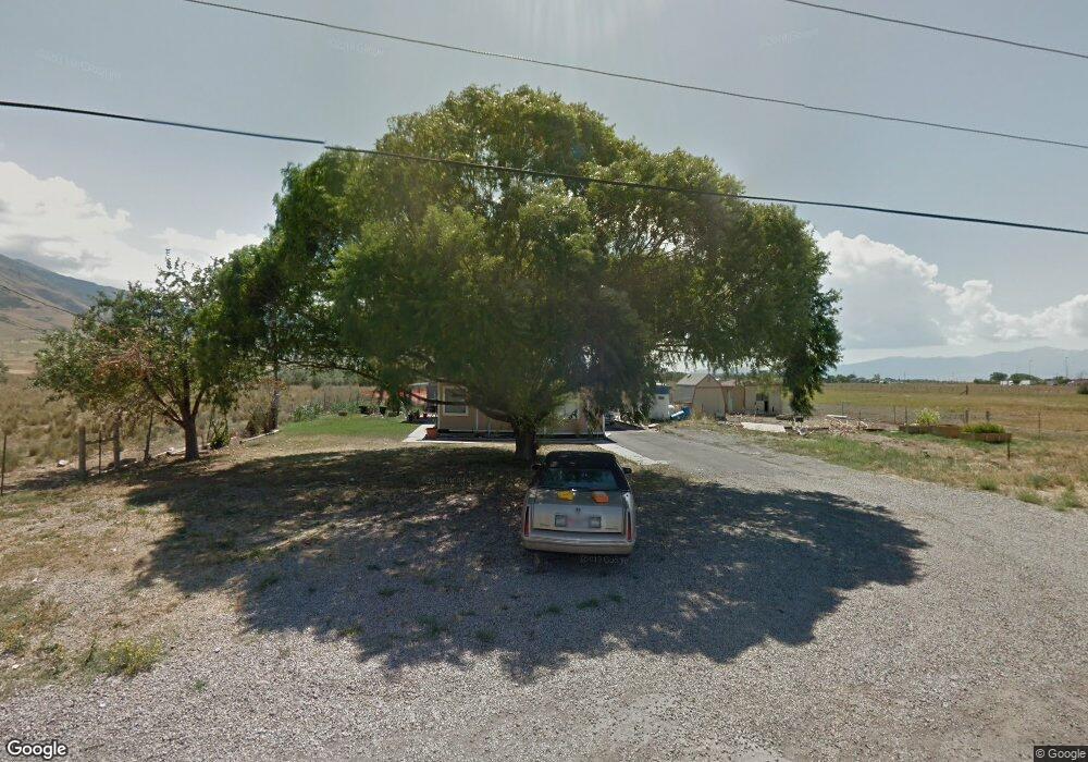
1874 E Pheasant Ln Lake Point, UT 84074
Estimated Value: $310,000
--
Bed
--
Bath
1,503
Sq Ft
$206/Sq Ft
Est. Value
About This Home
This home is located at 1874 E Pheasant Ln, Lake Point, UT 84074 and is currently priced at $310,000, approximately $206 per square foot. 1874 E Pheasant Ln is a home located in Tooele County with nearby schools including Old Mill Elementary School, Clarke N. Johnsen Junior High School, and Stansbury High School.
Ownership History
Date
Name
Owned For
Owner Type
Purchase Details
Closed on
Jan 6, 2006
Sold by
Stevenson Anna
Bought by
Stevenson Anna and Anna Stevenson Revocable Trust
Current Estimated Value
Home Financials for this Owner
Home Financials are based on the most recent Mortgage that was taken out on this home.
Original Mortgage
$102,000
Outstanding Balance
$57,273
Interest Rate
6.35%
Mortgage Type
New Conventional
Purchase Details
Closed on
Dec 9, 2005
Sold by
Ashworth Norma
Bought by
Robinson Susan R and Robinson Anna
Home Financials for this Owner
Home Financials are based on the most recent Mortgage that was taken out on this home.
Original Mortgage
$102,000
Outstanding Balance
$57,273
Interest Rate
6.35%
Mortgage Type
New Conventional
Create a Home Valuation Report for This Property
The Home Valuation Report is an in-depth analysis detailing your home's value as well as a comparison with similar homes in the area
Home Values in the Area
Average Home Value in this Area
Purchase History
| Date | Buyer | Sale Price | Title Company |
|---|---|---|---|
| Stevenson Anna | -- | Paramount Title Corp | |
| Robinson Susan R | -- | B&D Title Co | |
| Robinson Susan R | -- | B & D Title Co Of Tooele Inc |
Source: Public Records
Mortgage History
| Date | Status | Borrower | Loan Amount |
|---|---|---|---|
| Open | Robinson Susan R | $102,000 |
Source: Public Records
Tax History Compared to Growth
Tax History
| Year | Tax Paid | Tax Assessment Tax Assessment Total Assessment is a certain percentage of the fair market value that is determined by local assessors to be the total taxable value of land and additions on the property. | Land | Improvement |
|---|---|---|---|---|
| 2022 | $3,756 | $332,000 | $332,000 | $0 |
| 2021 | $2,190 | $162,000 | $162,000 | $0 |
| 2020 | $1,128 | $125,600 | $125,600 | $0 |
| 2019 | $1,139 | $125,600 | $125,600 | $0 |
| 2018 | $1,792 | $196,303 | $100,600 | $95,703 |
| 2017 | $1,579 | $183,820 | $100,600 | $83,220 |
| 2016 | $1,535 | $110,441 | $66,850 | $43,591 |
| 2015 | $1,535 | $110,441 | $0 | $0 |
| 2014 | -- | $110,441 | $0 | $0 |
Source: Public Records
Map
Nearby Homes
- 1885 E Burger St Unit 1415
- 1835 E Burger St Unit 1419
- 1921 E Burger St Unit 1418
- 1971 E Burger St
- 1971 E Burger St Unit 1239
- 1991 E Burger St Unit 1241
- 1991 E Burger St
- 1992 E Burger St Unit 1234
- 1992 E Burger St
- 2003 E Burger St Unit 1242
- 2003 E Burger St
- 2018 E Burger St
- 2018 E Burger St Unit 1232
- 2029 E Burger St
- 2090 E Burger St Unit 1244
- 2041 E Burger St Unit 1245
- 2041 E Burger St
- 2065 E Burger St Unit 1247
- 2065 E Burger St
- 8665 N Halloran Ct Unit 1325
- 1874 Pheasant Ln
- 1581 Pheasant Ln
- 1889 Pheasant Ln
- 1913 Pheasant Ln
- 1947 E Burger St
- 1946 E Burger St
- 1947 Antonio Dr
- 1981 E Antonio Dr
- 1991 Pheasant Ln
- 1982 Antonio Dr
- 1982 Antonio Dr Unit 1218
- 2004 E Burger St
- 2005 E Antonio Dr
- 1994 E Antonio Dr
- 2021 Pheasant Ln
- 2017 Antonio Dr Unit 1226
- 1998 Antonio Dr
- 1998 Antonio Dr Unit 1216
- 2002 Antonio Dr
- 2002 Antonio Dr Unit 1215