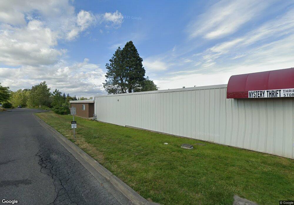
1874 Main St Ferndale, WA 98248
Estimated Value: $472,912
--
Bed
--
Bath
3,844
Sq Ft
$123/Sq Ft
Est. Value
About This Home
This home is located at 1874 Main St, Ferndale, WA 98248 and is currently estimated at $472,912, approximately $123 per square foot. 1874 Main St is a home located in Whatcom County with nearby schools including Central Elementary School, Vista Middle School, and Ferndale High School.
Ownership History
Date
Name
Owned For
Owner Type
Purchase Details
Closed on
Jun 25, 2025
Sold by
Free Launch Llc
Bought by
Evergreen Property Llc
Current Estimated Value
Purchase Details
Closed on
Jan 5, 2023
Sold by
Gilbert Connie
Bought by
Free Launch Llc
Home Financials for this Owner
Home Financials are based on the most recent Mortgage that was taken out on this home.
Original Mortgage
$210,000
Interest Rate
6.58%
Mortgage Type
Seller Take Back
Purchase Details
Closed on
Oct 11, 2002
Sold by
Gilbert Ellen M
Bought by
City Of Ferndale
Create a Home Valuation Report for This Property
The Home Valuation Report is an in-depth analysis detailing your home's value as well as a comparison with similar homes in the area
Home Values in the Area
Average Home Value in this Area
Purchase History
| Date | Buyer | Sale Price | Title Company |
|---|---|---|---|
| Evergreen Property Llc | $313 | None Listed On Document | |
| Free Launch Llc | -- | Whatcom Land Title | |
| City Of Ferndale | -- | Whatcom Land Title |
Source: Public Records
Mortgage History
| Date | Status | Borrower | Loan Amount |
|---|---|---|---|
| Previous Owner | Free Launch Llc | $210,000 |
Source: Public Records
Tax History Compared to Growth
Tax History
| Year | Tax Paid | Tax Assessment Tax Assessment Total Assessment is a certain percentage of the fair market value that is determined by local assessors to be the total taxable value of land and additions on the property. | Land | Improvement |
|---|---|---|---|---|
| 2024 | $3,571 | $513,166 | $385,560 | $127,606 |
| 2023 | $3,571 | $513,166 | $385,560 | $127,606 |
| 2022 | $4,472 | $543,881 | $382,168 | $161,713 |
| 2021 | $4,054 | $499,590 | $315,850 | $183,740 |
| 2020 | $4,506 | $416,325 | $263,208 | $153,117 |
| 2019 | $3,703 | $416,325 | $263,208 | $153,117 |
| 2018 | $4,927 | $406,568 | $257,040 | $149,528 |
| 2017 | $4,145 | $406,568 | $257,040 | $149,528 |
| 2016 | $4,132 | $369,890 | $193,170 | $176,720 |
| 2015 | $4,319 | $369,890 | $193,170 | $176,720 |
| 2014 | -- | $0 | $0 | $0 |
| 2013 | -- | $0 | $0 | $0 |
Source: Public Records
Map
Nearby Homes
- 0 Riverside Dr Unit NWM2356867
- 1564 Main St
- 1991 Alder St Unit 204
- 5608 1st Ave
- 5604 3rd Ave
- 2029 Maple St
- 5786 Portal Way
- 5802 2nd Ave
- 1655 Main St
- 5863 Cedar St
- 5879 Anderson Ave
- 5873 Anderson Ave
- 5400 Barrett Rd
- 5865 Anderson Ave
- 5685 Correll Dr
- 5391 La Bounty Dr
- 5675 Rosemary Ave
- 5829 Vista Dr
- 5861 Malloy Ave
- 2234 Main St