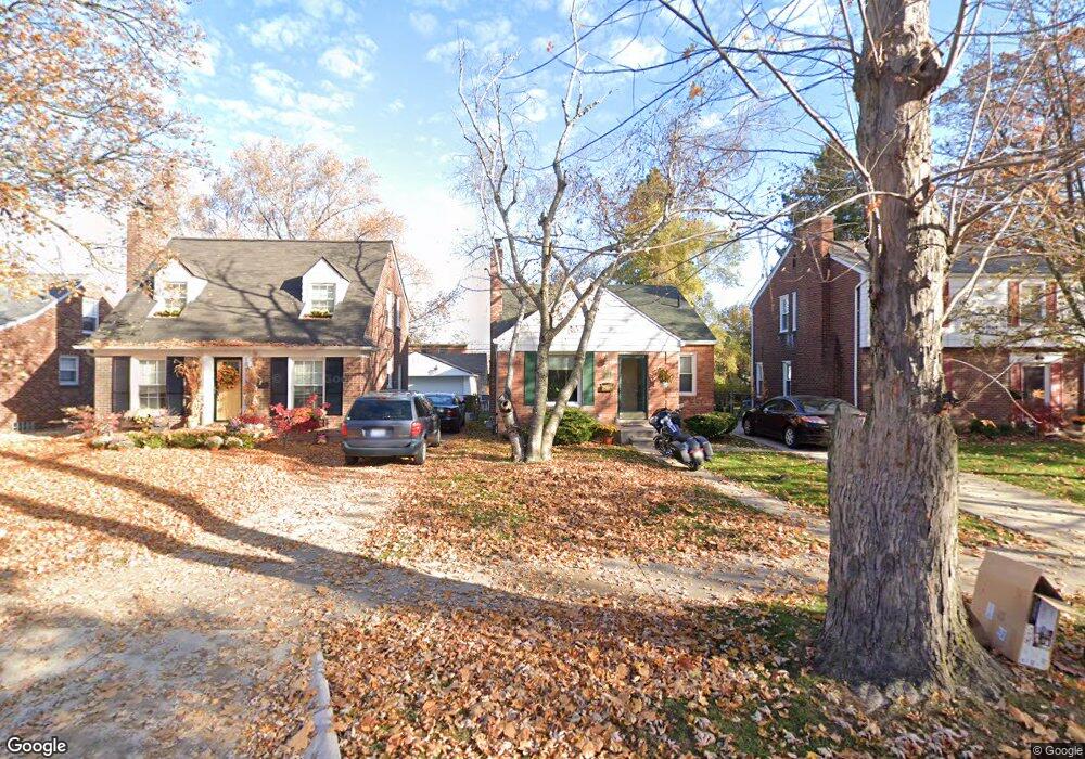
1874 Oxford Rd Grosse Pointe Woods, MI 48236
Estimated Value: $267,000 - $303,000
4
Beds
2
Baths
1,300
Sq Ft
$218/Sq Ft
Est. Value
About This Home
This home is located at 1874 Oxford Rd, Grosse Pointe Woods, MI 48236 and is currently estimated at $283,716, approximately $218 per square foot. 1874 Oxford Rd is a home located in Wayne County with nearby schools including John Monteith Elementary School, Parcells Middle School, and Grosse Pointe North High School.
Ownership History
Date
Name
Owned For
Owner Type
Purchase Details
Closed on
Mar 8, 2019
Sold by
Demerino Cindy
Bought by
Mitchell Darryl
Current Estimated Value
Home Financials for this Owner
Home Financials are based on the most recent Mortgage that was taken out on this home.
Original Mortgage
$171,830
Outstanding Balance
$151,734
Interest Rate
4.62%
Mortgage Type
FHA
Estimated Equity
$131,982
Purchase Details
Closed on
Feb 23, 2007
Sold by
Eatherly Evan S and Muto Anne Marie
Bought by
Demerino Cindy
Create a Home Valuation Report for This Property
The Home Valuation Report is an in-depth analysis detailing your home's value as well as a comparison with similar homes in the area
Home Values in the Area
Average Home Value in this Area
Purchase History
| Date | Buyer | Sale Price | Title Company |
|---|---|---|---|
| Mitchell Darryl | $175,000 | Amrock | |
| Demerino Cindy | $155,000 | None Available |
Source: Public Records
Mortgage History
| Date | Status | Borrower | Loan Amount |
|---|---|---|---|
| Open | Mitchell Darryl | $171,830 |
Source: Public Records
Tax History Compared to Growth
Tax History
| Year | Tax Paid | Tax Assessment Tax Assessment Total Assessment is a certain percentage of the fair market value that is determined by local assessors to be the total taxable value of land and additions on the property. | Land | Improvement |
|---|---|---|---|---|
| 2025 | $3,416 | $126,000 | $0 | $0 |
| 2024 | $3,416 | $119,500 | $0 | $0 |
| 2023 | $3,647 | $110,800 | $0 | $0 |
| 2022 | $5,145 | $96,000 | $0 | $0 |
| 2021 | $4,905 | $95,000 | $0 | $0 |
| 2020 | $5,050 | $87,000 | $0 | $0 |
| 2019 | $1,637 | $81,900 | $0 | $0 |
| 2018 | $1,609 | $77,900 | $0 | $0 |
| 2017 | $2,924 | $76,200 | $0 | $0 |
| 2016 | $3,056 | $68,900 | $0 | $0 |
| 2015 | $4,418 | $62,600 | $0 | $0 |
| 2013 | $4,250 | $56,300 | $0 | $0 |
| 2012 | -- | $41,600 | $14,200 | $27,400 |
Source: Public Records
Map
Nearby Homes
- 2048 Hunt Club Dr
- 1828 Lochmoor Blvd
- 2100 Country Club Dr
- 20950 Norwood Dr
- 1914 Fleetwood Dr
- 1930 Fleetwood Dr
- 21138 Huntington Ave
- 20886 Hunt Club Dr
- 20914 Woodmont St
- 1505 Fairholme Rd
- 20884 Woodmont St
- 20870 Wildwood Dr Unit 221
- 20923 Wildwood Dr Unit 226
- 2021 Allard Ave
- 19980 W Clairview Ct
- 1929 Allard Ave
- 20852 Wildwood Dr Unit 109
- 2286 Allard Ave
- 20007 Holiday Rd
- 1485 Torrey Rd
- 1866 Oxford Rd
- 1882 Oxford Rd
- 1890 Oxford Rd
- 1858 Oxford Rd
- 1898 Oxford Rd
- 1867 Norwood Dr
- 1883 Norwood Dr
- 1859 Norwood Dr
- 1891 Norwood Dr
- 1842 Oxford Rd
- 1842 0xford
- 1906 Oxford Rd
- 1851 Norwood Dr
- 1899 Norwood Dr
- 1875 Oxford Rd
- 1883 Oxford Rd
- 1843 Norwood Dr
- 1914 Oxford Rd
- 1907 Norwood Dr
- 1859 Oxford Rd