1875 Anderson Rd Point Roberts, WA 98281
Estimated Value: $415,428 - $499,000
3
Beds
2
Baths
1,068
Sq Ft
$426/Sq Ft
Est. Value
About This Home
This home is located at 1875 Anderson Rd, Point Roberts, WA 98281 and is currently estimated at $454,857, approximately $425 per square foot. 1875 Anderson Rd is a home located in Whatcom County with nearby schools including Point Roberts Primary School, Blaine Middle School, and Blaine High School.
Ownership History
Date
Name
Owned For
Owner Type
Purchase Details
Closed on
Oct 10, 2008
Sold by
Oneill Steve
Bought by
Oneill Leslie
Current Estimated Value
Purchase Details
Closed on
Sep 3, 2006
Sold by
Manrell Tod Trevor and Manrell Irene Virginia
Bought by
Oneill Leslie Karol
Home Financials for this Owner
Home Financials are based on the most recent Mortgage that was taken out on this home.
Original Mortgage
$170,000
Outstanding Balance
$99,890
Interest Rate
6.56%
Mortgage Type
Seller Take Back
Estimated Equity
$354,967
Create a Home Valuation Report for This Property
The Home Valuation Report is an in-depth analysis detailing your home's value as well as a comparison with similar homes in the area
Home Values in the Area
Average Home Value in this Area
Purchase History
| Date | Buyer | Sale Price | Title Company |
|---|---|---|---|
| Oneill Leslie | -- | None Available | |
| Oneill Leslie Karol | $200,280 | None Available |
Source: Public Records
Mortgage History
| Date | Status | Borrower | Loan Amount |
|---|---|---|---|
| Open | Oneill Leslie Karol | $170,000 |
Source: Public Records
Tax History
| Year | Tax Paid | Tax Assessment Tax Assessment Total Assessment is a certain percentage of the fair market value that is determined by local assessors to be the total taxable value of land and additions on the property. | Land | Improvement |
|---|---|---|---|---|
| 2025 | $2,884 | $346,976 | $103,403 | $243,573 |
| 2024 | $2,797 | $343,534 | $102,383 | $241,151 |
| 2023 | $2,797 | $334,226 | $93,075 | $241,151 |
| 2022 | $2,120 | $305,229 | $85,000 | $220,229 |
| 2021 | $2,112 | $206,956 | $40,128 | $166,828 |
| 2020 | $2,104 | $191,623 | $37,155 | $154,468 |
| 2019 | $1,955 | $183,810 | $35,640 | $148,170 |
| 2018 | $1,822 | $165,243 | $32,040 | $133,203 |
| 2017 | $1,580 | $157,816 | $30,600 | $127,216 |
| 2016 | $1,638 | $154,722 | $30,000 | $124,722 |
| 2015 | $1,742 | $155,990 | $32,847 | $123,143 |
| 2014 | -- | $163,075 | $34,340 | $128,735 |
| 2013 | -- | $155,828 | $32,980 | $122,848 |
Source: Public Records
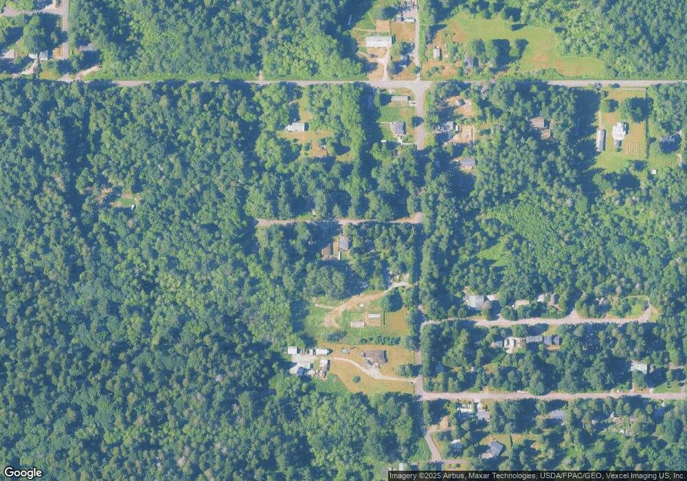
Map
Nearby Homes
- 1774 Centennial Place
- 1940 Apa Rd
- 1 Mill Rd
- 2 Mill Rd
- 0 Deer Rd
- 1871 Johnson Rd
- 661 Driftwood Ln
- 245 Shady Glen Ave
- 2045 Apa Rd
- 2138 Benson Rd
- 1920 Patos Way
- 1881 Edwards Dr
- 168 Tyee Dr
- 6 Weasel Run Rd
- 1928 Sanders Ct Unit 2
- 0 15 Whalen Dr
- 19 Whalen Dr
- 1542 Columbia Vista Dr
- 2202 Seabright Loop
- 58 Seabright Loop
- 1883 Anderson Rd
- 1867 Anderson Rd
- 1878 Anderson Rd
- 1872 Anderson Rd
- 1866 Anderson Rd
- 1884 Anderson Rd
- 0 6 39 Acres South Beach Rd
- 1894 Anderson Rd
- 423 S Beach Rd
- 1881 Benson Rd
- 1871 Benson Rd
- 413 S Beach Rd
- 450 S Beach Rd
- 1906 N Cedar Park Dr
- 479 S Beach Rd
- 1863 Benson Rd
- 409 S Beach Rd
- 1914 N Cedar Park Dr
- 1885 Benson Rd
Your Personal Tour Guide
Ask me questions while you tour the home.