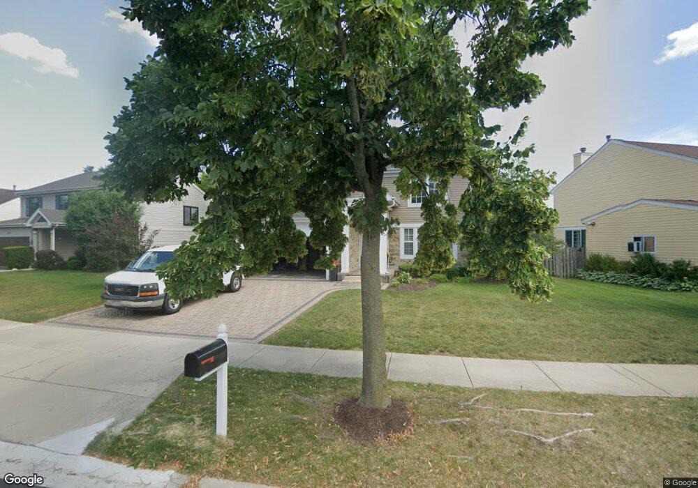
1875 Avalon Dr Wheeling, IL 60090
Estimated Value: $522,556 - $672,000
4
Beds
2
Baths
2,241
Sq Ft
$268/Sq Ft
Est. Value
About This Home
This home is located at 1875 Avalon Dr, Wheeling, IL 60090 and is currently estimated at $600,389, approximately $267 per square foot. 1875 Avalon Dr is a home located in Cook County with nearby schools including Frost Elementary School, Oliver W Holmes Middle School, and Wheeling High School.
Ownership History
Date
Name
Owned For
Owner Type
Purchase Details
Closed on
Oct 24, 2002
Sold by
Ginsberg Steve E and Ginsberg Davida R
Bought by
Martinez Carlos E and Trevino Elizabeth
Current Estimated Value
Home Financials for this Owner
Home Financials are based on the most recent Mortgage that was taken out on this home.
Original Mortgage
$300,700
Outstanding Balance
$124,484
Interest Rate
6.38%
Estimated Equity
$475,905
Purchase Details
Closed on
May 12, 1997
Sold by
Avalon Sienna Llc
Bought by
Ginsberg Steve E and Ginsberg Davida R
Home Financials for this Owner
Home Financials are based on the most recent Mortgage that was taken out on this home.
Original Mortgage
$226,200
Interest Rate
8%
Mortgage Type
Balloon
Create a Home Valuation Report for This Property
The Home Valuation Report is an in-depth analysis detailing your home's value as well as a comparison with similar homes in the area
Home Values in the Area
Average Home Value in this Area
Purchase History
| Date | Buyer | Sale Price | Title Company |
|---|---|---|---|
| Martinez Carlos E | $396,000 | -- | |
| Ginsberg Steve E | $251,500 | Ticor Title |
Source: Public Records
Mortgage History
| Date | Status | Borrower | Loan Amount |
|---|---|---|---|
| Open | Martinez Carlos E | $300,700 | |
| Previous Owner | Ginsberg Steve E | $226,200 |
Source: Public Records
Tax History
| Year | Tax Paid | Tax Assessment Tax Assessment Total Assessment is a certain percentage of the fair market value that is determined by local assessors to be the total taxable value of land and additions on the property. | Land | Improvement |
|---|---|---|---|---|
| 2025 | $11,702 | $49,000 | $11,687 | $37,313 |
| 2024 | $11,702 | $38,000 | $13,485 | $24,515 |
| 2023 | $11,124 | $38,000 | $13,485 | $24,515 |
| 2022 | $11,124 | $38,000 | $13,485 | $24,515 |
| 2021 | $10,848 | $32,403 | $6,742 | $25,661 |
| 2020 | $10,638 | $32,403 | $6,742 | $25,661 |
| 2019 | $10,842 | $36,286 | $6,742 | $29,544 |
| 2018 | $11,032 | $33,475 | $5,843 | $27,632 |
| 2017 | $10,820 | $33,475 | $5,843 | $27,632 |
| 2016 | $10,395 | $33,475 | $5,843 | $27,632 |
| 2015 | $11,234 | $33,946 | $5,169 | $28,777 |
| 2014 | $10,964 | $33,946 | $5,169 | $28,777 |
| 2013 | $10,129 | $33,946 | $5,169 | $28,777 |
Source: Public Records
Map
Nearby Homes
- 55 Willow Rd
- 1975 Merlot Ct
- 15 E Willow Rd
- 42 Cherbourg Ct Unit 492714
- 103 Coldren Dr
- 1550 Sandpebble Dr Unit 209
- 1525 Sander Ct Unit 113
- 1525 Sander Ct Unit 108
- 1525 Sander Ct Unit 103
- 1450 Sandpebble Dr Unit 333
- 304 E Camp Mcdonald Rd
- 206 E Camp Mcdonald Rd
- 7 Alton Rd
- 109 Rob Roy Ln Unit C
- 584 Edinburgh Ln Unit A
- 664 Pinecrest Dr Unit 302
- 674 Pinecrest Dr Unit 203
- 16 Robert Ave
- 16 E Old Willow Rd Unit 214S
- 16 E Old Willow Rd Unit 223S
Your Personal Tour Guide
Ask me questions while you tour the home.