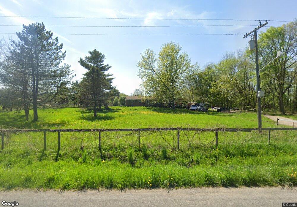
1875 Burkley Rd Williamston, MI 48895
Estimated Value: $242,000 - $270,000
3
Beds
1
Bath
1,104
Sq Ft
$232/Sq Ft
Est. Value
About This Home
This home is located at 1875 Burkley Rd, Williamston, MI 48895 and is currently estimated at $256,476, approximately $232 per square foot. 1875 Burkley Rd is a home located in Ingham County with nearby schools including Williamston Discovery Elementary School, Williamston Explorer Elementary School, and Williamston Middle School.
Ownership History
Date
Name
Owned For
Owner Type
Purchase Details
Closed on
Dec 14, 2005
Sold by
Porter Bradly D and Porter Colleen M
Bought by
Turner Kyle T and Horan Erin M
Current Estimated Value
Home Financials for this Owner
Home Financials are based on the most recent Mortgage that was taken out on this home.
Original Mortgage
$162,450
Outstanding Balance
$91,915
Interest Rate
6.48%
Mortgage Type
FHA
Estimated Equity
$164,561
Purchase Details
Closed on
Apr 13, 2005
Sold by
Porter Colleen M
Bought by
Porter Bradly D
Home Financials for this Owner
Home Financials are based on the most recent Mortgage that was taken out on this home.
Original Mortgage
$142,000
Interest Rate
6%
Mortgage Type
Fannie Mae Freddie Mac
Purchase Details
Closed on
Aug 20, 1997
Sold by
Porter Bradley D and Porter Colleen M
Create a Home Valuation Report for This Property
The Home Valuation Report is an in-depth analysis detailing your home's value as well as a comparison with similar homes in the area
Home Values in the Area
Average Home Value in this Area
Purchase History
| Date | Buyer | Sale Price | Title Company |
|---|---|---|---|
| Turner Kyle T | $165,000 | None Available | |
| Porter Bradly D | -- | Mid | |
| -- | $105,500 | -- |
Source: Public Records
Mortgage History
| Date | Status | Borrower | Loan Amount |
|---|---|---|---|
| Open | Turner Kyle T | $162,450 | |
| Previous Owner | Porter Bradly D | $142,000 |
Source: Public Records
Tax History Compared to Growth
Tax History
| Year | Tax Paid | Tax Assessment Tax Assessment Total Assessment is a certain percentage of the fair market value that is determined by local assessors to be the total taxable value of land and additions on the property. | Land | Improvement |
|---|---|---|---|---|
| 2025 | $4,886 | $112,600 | $27,700 | $84,900 |
| 2024 | $4,522 | $104,500 | $27,200 | $77,300 |
| 2023 | $3,845 | $97,100 | $24,100 | $73,000 |
| 2022 | $3,845 | $89,300 | $24,800 | $64,500 |
| 2021 | $3,845 | $86,900 | $24,800 | $62,100 |
| 2020 | $3,218 | $83,000 | $24,800 | $58,200 |
| 2019 | $3,845 | $79,100 | $24,800 | $54,300 |
| 2018 | $3,845 | $78,100 | $24,800 | $53,300 |
| 2017 | $3,667 | $79,200 | $24,800 | $54,400 |
| 2016 | -- | $64,000 | $18,100 | $45,900 |
| 2015 | -- | $63,000 | $35,280 | $27,720 |
| 2014 | -- | $60,900 | $43,520 | $17,380 |
Source: Public Records
Map
Nearby Homes
- 345 Linn Rd
- 3039 Meridian Rd
- 70 Apple Blossom Ln
- 1234 Lamb Rd
- 2061 N Williamston Rd
- 0 Linn Rd Unit 291462
- 595 W Howell Rd
- 0 Beechwood Dr
- 1569 Willoughby Rd
- 280 Winterberry Ln
- 345 Winterberry Ln
- 109 Daggertail Ln
- 346 Wind N Wood Dr
- 2260 Holt Rd
- 325 Wind N Wood Dr
- 3620 Zimmer Rd
- 15 Skipper Ln
- 26 Monarch Ln
- 1340 E Grand River Rd
- 1546 Nottingham Forest Trail #62 Trail