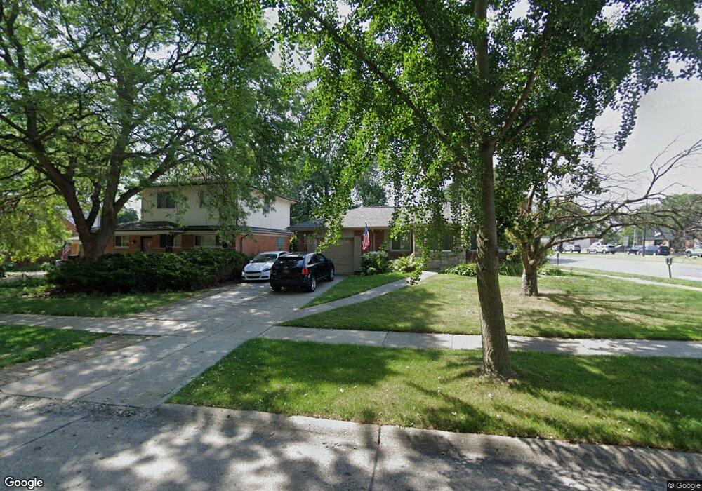
1875 Hawthorne Rd Grosse Pointe Woods, MI 48236
Estimated Value: $328,000 - $364,000
3
Beds
1
Bath
1,388
Sq Ft
$249/Sq Ft
Est. Value
About This Home
This home is located at 1875 Hawthorne Rd, Grosse Pointe Woods, MI 48236 and is currently estimated at $345,228, approximately $248 per square foot. 1875 Hawthorne Rd is a home located in Wayne County with nearby schools including Stevens T. Mason Elementary School, Parcells Middle School, and Grosse Pointe North High School.
Ownership History
Date
Name
Owned For
Owner Type
Purchase Details
Closed on
Aug 13, 2004
Sold by
Kotsonis Anna and Bays Dori Lee
Bought by
Zilli Michael A
Current Estimated Value
Purchase Details
Closed on
May 26, 2000
Sold by
Bays Katherine D
Bought by
Bays Dori L
Create a Home Valuation Report for This Property
The Home Valuation Report is an in-depth analysis detailing your home's value as well as a comparison with similar homes in the area
Home Values in the Area
Average Home Value in this Area
Purchase History
| Date | Buyer | Sale Price | Title Company |
|---|---|---|---|
| Zilli Michael A | $265,000 | Metropolitan Title Company | |
| Bays Dori L | -- | -- |
Source: Public Records
Tax History Compared to Growth
Tax History
| Year | Tax Paid | Tax Assessment Tax Assessment Total Assessment is a certain percentage of the fair market value that is determined by local assessors to be the total taxable value of land and additions on the property. | Land | Improvement |
|---|---|---|---|---|
| 2025 | $2,985 | $169,500 | $0 | $0 |
| 2024 | $2,985 | $154,700 | $0 | $0 |
| 2023 | $2,871 | $141,800 | $0 | $0 |
| 2022 | $5,593 | $126,300 | $0 | $0 |
| 2021 | $5,459 | $114,800 | $0 | $0 |
| 2020 | $5,349 | $109,500 | $0 | $0 |
| 2019 | $5,262 | $104,900 | $0 | $0 |
| 2018 | $2,568 | $93,100 | $0 | $0 |
| 2017 | $4,668 | $92,300 | $0 | $0 |
| 2016 | $4,878 | $84,600 | $0 | $0 |
| 2015 | $7,051 | $86,500 | $0 | $0 |
| 2013 | $6,790 | $75,100 | $0 | $0 |
| 2012 | -- | $66,400 | $19,800 | $46,600 |
Source: Public Records
Map
Nearby Homes
- 1817 Hawthorne Rd
- 1768 Hampton Rd
- 1793 Roslyn Rd
- 1750 Vernier Rd Unit 6
- 1750 Vernier Rd Unit 22
- 2025 Anita Ave
- 1641 Hampton Rd
- 1781 Brys Dr
- 1677 Brys Dr
- 2138 Ridgemont Rd
- 2104 Roslyn Rd
- 2147 Roslyn Rd
- 2202 Hollywood Ave
- 2230 Hawthorne Rd
- 22029 Shore Pointe Ln
- 1528 Roslyn Rd
- 1463 Hollywood Ave
- 1552 Brys Dr
- 2158 Lennon St
- 20945 Hampton Rd
- 1861 Hawthorne Rd
- 20800 Mack Ave
- 20792 Mack Ave
- 20788 Mack Ave
- 1845 Hawthorne Rd
- 20784 Mack Ave
- 1864 Hawthorne Rd
- 1833 Hawthorne Rd
- 1878 Hawthorne - Lease
- 1852 Hawthorne Rd
- 1878 Hawthorne Rd
- 1842 Anita Ave Unit 4
- 1838 Hawthorne Rd
- 1836 Anita Ave
- 1828 Anita Ave
- 1824 Hawthorne Rd
- 20817 Mack Ave
- 20805 Mack Ave
- 1820 Anita Ave
- 1865 Hollywood Ave