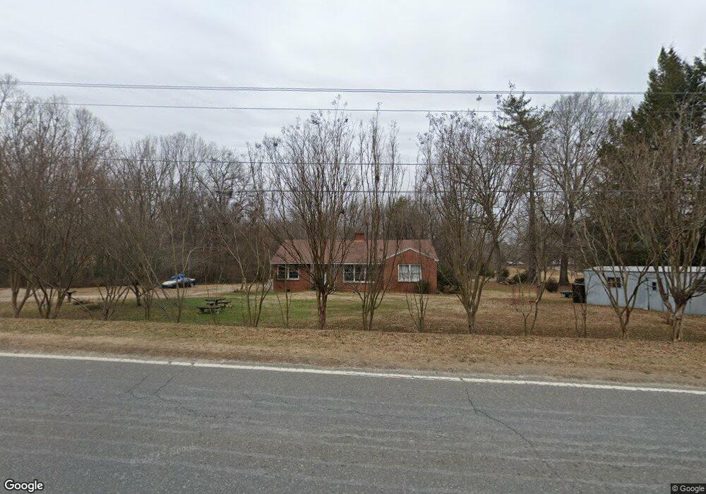
1875 Highway 321 N Unit U Clover, SC 29710
Estimated Value: $165,000 - $259,000
About This Home
This home is located at 1875 Highway 321 N Unit U, Clover, SC 29710 and is currently estimated at $215,262, approximately $160 per square foot. 1875 Highway 321 N Unit U is a home located in York County with nearby schools including Kinard Elementary School, Clover Middle School, and Clover High School.
Ownership History
We collect this data history from publicly available records. To have your information removed, we recommend requesting removal directly through your county’s website.
Purchase Details
Purchase Details
Home Financials for this Owner
Home Financials are based on the most recent Mortgage that was taken out on this home.Purchase Details
Home Values in the Area
Average Home Value in this Area
Purchase History
We collect this data history from publicly available records. To have your information removed, we recommend requesting removal directly through your county’s website.
| Date | Buyer | Sale Price | Title Company |
|---|---|---|---|
| -- | -- | ||
| $54,900 | -- | ||
| -- | -- | ||
| $2,500 | -- |
Mortgage History
We collect this data history from publicly available records. To have your information removed, we recommend requesting removal directly through your county’s website.
| Date | Status | Borrower | Loan Amount |
|---|---|---|---|
| Previous Owner | $49,410 |
Tax History
We collect this data history from publicly available records. To have your information removed, we recommend requesting removal directly through your county’s website.
| Year | Tax Paid | Tax Assessment Tax Assessment Total Assessment is a certain percentage of the fair market value that is determined by local assessors to be the total taxable value of land and additions on the property. | Land | Improvement |
|---|---|---|---|---|
| 2025 | $447 | $2,592 | $1,800 | $792 |
| 2024 | $401 | $2,392 | $1,600 | $792 |
| 2023 | $409 | $2,392 | $1,600 | $792 |
| 2022 | $410 | $2,392 | $1,600 | $792 |
| 2021 | -- | $2,392 | $1,600 | $792 |
| 2020 | $409 | $2,392 | $0 | $0 |
| 2019 | $370 | $2,080 | $0 | $0 |
| 2018 | $356 | $2,080 | $0 | $0 |
| 2017 | $338 | $2,080 | $0 | $0 |
| 2016 | $334 | $2,080 | $0 | $0 |
| 2014 | $375 | $3,120 | $1,800 | $1,320 |
| 2013 | $375 | $2,180 | $1,200 | $980 |
Map
- 172 Spring Meadow Dr
- 1830 Dulin Rd
- 604 Ferguson Ridge Rd
- 2137 Plumcrest Ln
- 880 Bellegray Rd Unit 19
- 868 Bellegray Rd
- 844 Bellegray Rd Unit 16
- 832 Bellegray Rd
- 0 Brooks Rd
- 808 Bellegray Rd Unit 13
- 0 State Road S-46-1086
- 514 Station St
- 313 Drawbar Dr Unit 93
- 3800 Shasta Cir
- 319 Drawbar Dr Unit 95
- 325 Drawbar Dr Unit 98
- 1310 State Road S-46-1197
- 3841 Shasta Cir
- 3900 Shasta Cir
- 3906 Shasta Cir
- 1875 Highway 321 N
- 1875 U S 321
- 1873 Highway 321 N
- 0 Ridge Rd
- 1855 U S 321
- 1855 Highway 321 N
- 130 Spring Meadow Dr
- 140 Spring Meadow Dr
- 1855 N 321 Bypass Hwy
- 1860 Dulin Rd
- 150 Spring Meadow Dr
- 170 Spring Meadow Dr
- 00 Dulin Rd
- 175 Spring Meadow Dr
- 1932 Dulin Rd
- 1821 Highway 321 N
- 1821 U S 321
- 1820 U S 321
- 173 Spring Meadow Dr
- 1970 Dulin Rd
Ask me questions while you tour the home.