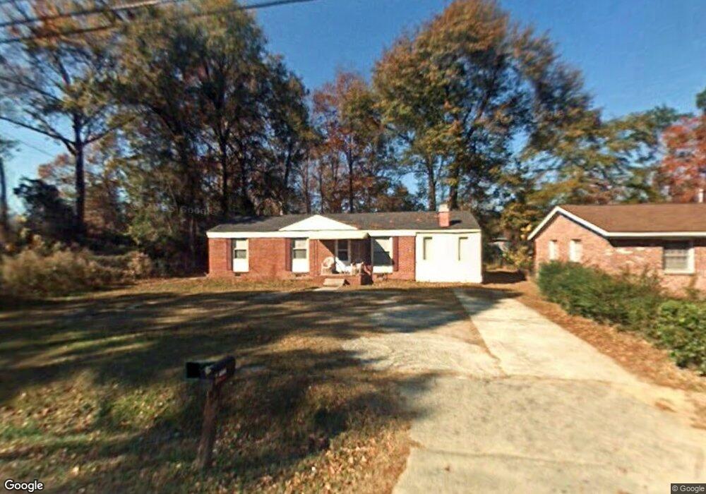
1875 Myers Rd Orangeburg, SC 29115
Estimated Value: $95,000 - $132,000
3
Beds
2
Baths
1,375
Sq Ft
$83/Sq Ft
Est. Value
About This Home
This home is located at 1875 Myers Rd, Orangeburg, SC 29115 and is currently estimated at $114,035, approximately $82 per square foot. 1875 Myers Rd is a home located in Orangeburg County with nearby schools including Whittaker Elementary School, Whittaker Elementary, and Robert E. Howard Middle School.
Ownership History
Date
Name
Owned For
Owner Type
Purchase Details
Closed on
Jul 13, 2011
Sold by
Eh Pooled 311 Lp
Bought by
Rai Jai Prakash and Rai Biva Singh
Current Estimated Value
Purchase Details
Closed on
May 12, 2011
Sold by
Deutsche Bank National Trust Company
Bought by
Eh Pooled 311 Lp
Purchase Details
Closed on
Nov 8, 2006
Sold by
Jefferson Frances A
Bought by
Jefferson Frances A
Purchase Details
Closed on
Jan 20, 2006
Sold by
Harvin Kelso
Bought by
Harvin Kelso and Harvin Brenda
Create a Home Valuation Report for This Property
The Home Valuation Report is an in-depth analysis detailing your home's value as well as a comparison with similar homes in the area
Home Values in the Area
Average Home Value in this Area
Purchase History
| Date | Buyer | Sale Price | Title Company |
|---|---|---|---|
| Rai Jai Prakash | $8,955 | -- | |
| Eh Pooled 311 Lp | $4,465 | -- | |
| Jefferson Frances A | -- | None Available | |
| Harvin Kelso | -- | None Available |
Source: Public Records
Tax History Compared to Growth
Tax History
| Year | Tax Paid | Tax Assessment Tax Assessment Total Assessment is a certain percentage of the fair market value that is determined by local assessors to be the total taxable value of land and additions on the property. | Land | Improvement |
|---|---|---|---|---|
| 2024 | $1,666 | $4,940 | $602 | $4,338 |
| 2023 | $1,392 | $3,506 | $548 | $2,958 |
| 2022 | $1,389 | $3,506 | $548 | $2,958 |
| 2021 | $1,382 | $3,506 | $548 | $2,958 |
| 2020 | $1,270 | $3,506 | $0 | $0 |
| 2019 | $1,228 | $3,506 | $0 | $0 |
| 2018 | $1,261 | $3,308 | $0 | $0 |
| 2017 | $1,243 | $3,308 | $0 | $0 |
| 2016 | $1,243 | $3,308 | $0 | $0 |
| 2015 | $1,217 | $3,308 | $0 | $0 |
| 2014 | $1,217 | $3,309 | $549 | $2,760 |
| 2013 | -- | $2,354 | $366 | $1,988 |
Source: Public Records
Map
Nearby Homes
- 1825 Atlantic Ave
- 1859 Atlantic Ave
- 2015 Atlantic Ave
- 2031 Atlantic Ave
- 0 Whittaker Pkwy Unit 25025172
- 925 Chitwood St
- 1832par Co Par Ct
- 1832 Par Ct
- 2266 Atlantic Ave
- 1582 Washington St
- 0 Bryan Dr
- 1542 Belleville Rd
- 0 Corona Dr Unit 25006444
- 0 Old Cameron Rd
- 0 Aaron St
- 344 Mingo St
- 995 Carson St SE
- 550 Bleakley St SE
- 1165 Whaley St
- 1010 Woods St