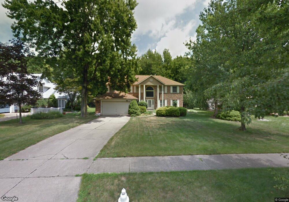
1875 Sperrys Forge Trail Westlake, OH 44145
Estimated Value: $507,000 - $632,000
4
Beds
3
Baths
3,084
Sq Ft
$178/Sq Ft
Est. Value
About This Home
This home is located at 1875 Sperrys Forge Trail, Westlake, OH 44145 and is currently estimated at $548,905, approximately $177 per square foot. 1875 Sperrys Forge Trail is a home located in Cuyahoga County with nearby schools including Dover Intermediate School, Lee Burneson Middle School, and Westlake High School.
Ownership History
Date
Name
Owned For
Owner Type
Purchase Details
Closed on
Apr 8, 2025
Sold by
Jou Li-Fen and Chern Hueirong
Bought by
Chern Hueirong and Jou Li-Fen
Current Estimated Value
Purchase Details
Closed on
Aug 13, 1993
Bought by
Knudson James R
Purchase Details
Closed on
Mar 15, 1990
Sold by
Knight Stanley
Purchase Details
Closed on
Jan 14, 1987
Bought by
Knight Stanley
Purchase Details
Closed on
Jan 1, 1986
Bought by
Hennie Homes Inc
Create a Home Valuation Report for This Property
The Home Valuation Report is an in-depth analysis detailing your home's value as well as a comparison with similar homes in the area
Home Values in the Area
Average Home Value in this Area
Purchase History
| Date | Buyer | Sale Price | Title Company |
|---|---|---|---|
| Chern Hueirong | -- | None Listed On Document | |
| Knudson James R | $255,000 | -- | |
| -- | $245,000 | -- | |
| Knight Stanley | $185,500 | -- | |
| Hennie Homes Inc | -- | -- |
Source: Public Records
Tax History Compared to Growth
Tax History
| Year | Tax Paid | Tax Assessment Tax Assessment Total Assessment is a certain percentage of the fair market value that is determined by local assessors to be the total taxable value of land and additions on the property. | Land | Improvement |
|---|---|---|---|---|
| 2024 | $7,130 | $150,500 | $32,935 | $117,565 |
| 2023 | $6,388 | $115,290 | $26,110 | $89,180 |
| 2022 | $6,286 | $115,290 | $26,110 | $89,180 |
| 2021 | $6,294 | $115,290 | $26,110 | $89,180 |
| 2020 | $6,354 | $106,750 | $24,190 | $82,570 |
| 2019 | $6,161 | $305,000 | $69,100 | $235,900 |
| 2018 | $6,522 | $106,750 | $24,190 | $82,570 |
| 2017 | $6,931 | $112,460 | $23,940 | $88,520 |
| 2016 | $6,894 | $112,460 | $23,940 | $88,520 |
| 2015 | $6,271 | $112,460 | $23,940 | $88,520 |
| 2014 | $6,271 | $100,420 | $21,390 | $79,030 |
Source: Public Records
Map
Nearby Homes
- 1900 Sperrys Forge Trail
- 28744 Woodmill Dr
- 28323 Farrs Garden Path
- 28167 Zinfandel Ct
- 27923 Hilliard Blvd
- Bowman Plan at Hope Pointe Place
- Ashton Plan at Hope Pointe Place
- 1721 Merlot Ln
- 28200 Detroit Rd Unit D3
- 29379 Detroit Rd
- 29363 Detroit Rd Unit 5
- 28140 Detroit Rd Unit D3
- 29331 Graystone Dr
- 1476 Bobby Ln Unit 7
- 0 Hilliard Blvd Unit 5150693
- 0 Hilliard Blvd Unit 5128276
- 28080 Center Ridge Rd
- 1625 Cedarwood Dr Unit 218
- 29579 Devonshire Oval
- 2820 N Bay Dr
- 1867 Sperrys Forge Trail
- 1883 Sperrys Forge Trail
- 1859 Sperrys Forge Trail
- 1891 Sperrys Forge Trail
- 1874 Coes Post Run
- 1882 Coes Post Run
- 1866 Coes Post Run
- 1899 Sperrys Forge Trail
- 1851 Sperrys Forge Trail
- 1876 Sperrys Forge Trail
- 1890 Coes Post Run
- 1858 Coes Post Run
- 1868 Sperrys Forge Trail
- 1884 Sperrys Forge Trail
- 1860 Sperrys Forge Trail
- 1898 Coes Post Run
- 1850 Coes Post Run
- 1843 Sperrys Forge Trail
- 1907 Sperrys Forge Trail
- 1852 Sperrys Forge Trail