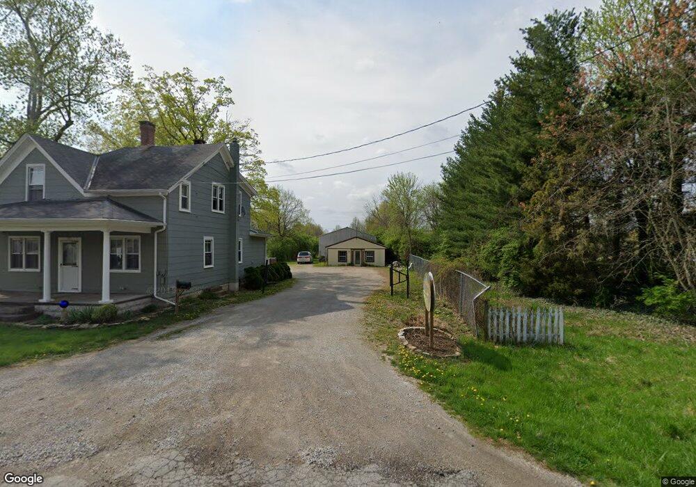
1875 State Route 131 Milford, OH 45150
Estimated Value: $270,000 - $372,000
4
Beds
1
Bath
1,345
Sq Ft
$231/Sq Ft
Est. Value
About This Home
This home is located at 1875 State Route 131, Milford, OH 45150 and is currently estimated at $311,319, approximately $231 per square foot. 1875 State Route 131 is a home located in Clermont County with nearby schools including Clermont Northeastern Elementary School, Clermont Northeastern Middle School, and Clermont Northeastern High School.
Ownership History
Date
Name
Owned For
Owner Type
Purchase Details
Closed on
Oct 7, 2016
Sold by
Lichtenberg George and Lichtenberg Joanne
Bought by
Mulla Kahil and Mulla Laura
Current Estimated Value
Purchase Details
Closed on
Dec 9, 1999
Sold by
Meyer Tonya M
Bought by
Lichtenberg George and Lichtenberg Joanne
Home Financials for this Owner
Home Financials are based on the most recent Mortgage that was taken out on this home.
Original Mortgage
$96,000
Interest Rate
8.02%
Mortgage Type
New Conventional
Purchase Details
Closed on
Nov 25, 1997
Sold by
Lockhaven Properties Inc
Bought by
Meyer Jesse R and Meyer Tonya M
Home Financials for this Owner
Home Financials are based on the most recent Mortgage that was taken out on this home.
Original Mortgage
$110,000
Interest Rate
7.38%
Mortgage Type
New Conventional
Purchase Details
Closed on
May 26, 1993
Purchase Details
Closed on
Feb 1, 1989
Create a Home Valuation Report for This Property
The Home Valuation Report is an in-depth analysis detailing your home's value as well as a comparison with similar homes in the area
Home Values in the Area
Average Home Value in this Area
Purchase History
| Date | Buyer | Sale Price | Title Company |
|---|---|---|---|
| Mulla Kahil | $125 | None Available | |
| Lichtenberg George | $135,613 | -- | |
| Meyer Jesse R | $115,000 | -- | |
| -- | $112,000 | -- | |
| -- | $84,000 | -- |
Source: Public Records
Mortgage History
| Date | Status | Borrower | Loan Amount |
|---|---|---|---|
| Previous Owner | Lichtenberg George | $96,000 | |
| Previous Owner | Meyer Jesse R | $110,000 |
Source: Public Records
Tax History Compared to Growth
Tax History
| Year | Tax Paid | Tax Assessment Tax Assessment Total Assessment is a certain percentage of the fair market value that is determined by local assessors to be the total taxable value of land and additions on the property. | Land | Improvement |
|---|---|---|---|---|
| 2024 | $3,153 | $79,450 | $44,940 | $34,510 |
| 2023 | $3,155 | $79,450 | $44,940 | $34,510 |
| 2022 | $2,843 | $66,260 | $36,680 | $29,580 |
| 2021 | $2,679 | $66,260 | $36,680 | $29,580 |
| 2020 | $2,676 | $66,260 | $36,680 | $29,580 |
| 2019 | $3,070 | $74,800 | $42,630 | $32,170 |
| 2018 | $3,070 | $74,800 | $42,630 | $32,170 |
| 2017 | $2,982 | $72,630 | $42,630 | $30,000 |
| 2016 | $2,563 | $59,050 | $34,650 | $24,400 |
| 2015 | $2,271 | $59,050 | $34,650 | $24,400 |
| 2014 | $2,271 | $59,050 | $34,650 | $24,400 |
| 2013 | $2,232 | $55,620 | $35,700 | $19,920 |
Source: Public Records
Map
Nearby Homes
- 1847 Ohio 131
- 1799 Rosewood Ln
- 1860 Grove Park Dr
- Hampton Plan at Grove Park
- Cooke Plan at Grove Park
- Windsor II Plan at Grove Park
- Barrett Plan at Grove Park
- Morrison Plan at Grove Park
- Serenity Plan at Grove Park
- Nicholas Plan at Grove Park
- 1897 Grove Park Dr
- Ellison Plan at Grove Park
- Fairview Plan at Grove Park
- Inglewood Plan at Grove Park
- Dillon Plan at Grove Park
- Dawson Plan at Grove Park
- Faulkner Plan at Grove Park
- Cheswicke Plan at Grove Park
- Ainsley II Plan at Grove Park
- Clayton Plan at Grove Park
- 1875 State Route 131
- 1881 St Rt 131
- 5698 Chestnut View Ln
- 5696 Chestnut View Ln
- 5736 Deerfield Rd
- 1868 State Route 131
- 5694 Chestnut View Ln
- 1864 State Route 131
- 1882 St Rt 131
- 5692 Chestnut View Ln
- 5737 Deerfield Rd
- 5741 Deerfield Rd
- 5699 Chestnut View Ln
- 5690 Chestnut View Ln
- 1850 State Route 131
- 5695 Chestnut View Ln
- 5697 Chestnut View Ln
- 1899 State Route 131
- 5693 Chestnut View Ln
- 5746 Deerfield Rd