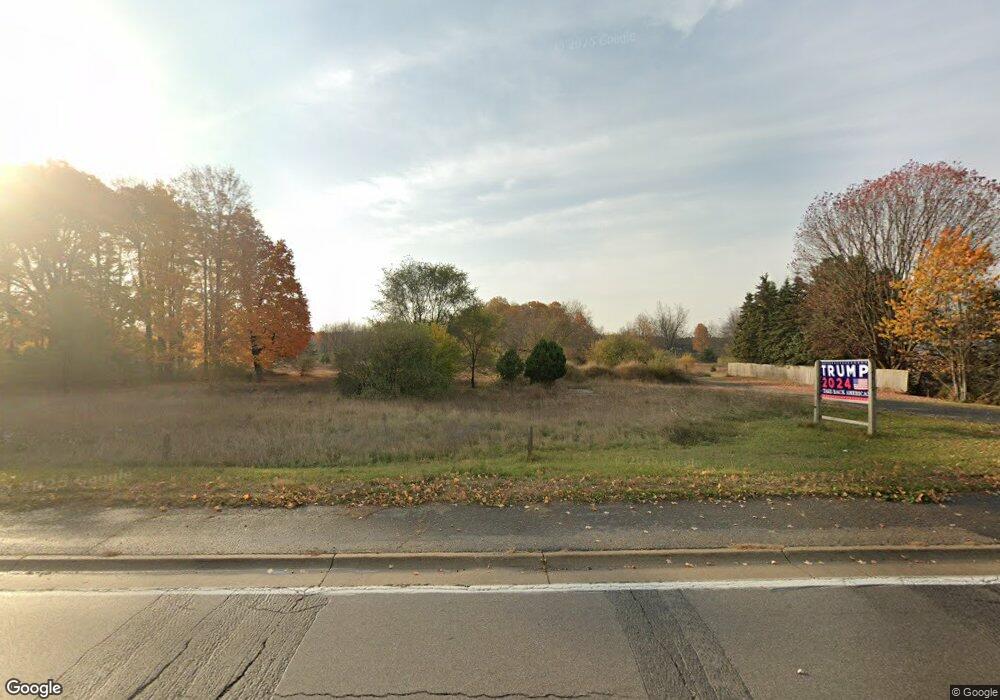
1875 U S 10 Ludington, MI 49431
Estimated Value: $40,000 - $85,000
--
Bed
1
Bath
--
Sq Ft
6.6
Acres
About This Home
This home is located at 1875 U S 10, Ludington, MI 49431 and is currently estimated at $63,252. 1875 U S 10 is a home located in Mason County with nearby schools including Scottville Elementary School, Mason County Central Upper Elementary School, and Mason County Central Middle School.
Ownership History
Date
Name
Owned For
Owner Type
Purchase Details
Closed on
Jul 18, 2023
Sold by
Austin Michael D
Bought by
Austin Michael J
Current Estimated Value
Purchase Details
Closed on
Jun 6, 2012
Sold by
Raguso Samuel Paul
Bought by
Austin Michael J
Purchase Details
Closed on
Oct 12, 2010
Sold by
Raguso Samuel P and Raguso Barbara A
Bought by
Raguso Samuel Paul
Purchase Details
Closed on
Nov 4, 2005
Sold by
Swihart Daniel K and Swihart Clarissa
Bought by
Swiharts Septic & Port A Pottys Inc
Purchase Details
Closed on
Sep 12, 2005
Sold by
Raguso Samuel P and Raguso Barbara A
Bought by
Rasuso Samuel P and Rasuso Barbara A
Purchase Details
Closed on
Apr 14, 2004
Sold by
Thaler Mitchell Bruce and Thaler Paula
Bought by
Raguso Samuel P and Raguso Barbara A
Purchase Details
Closed on
Jan 25, 2004
Sold by
T & S Land Development
Bought by
Swihart Daniel K
Purchase Details
Closed on
Apr 1, 1997
Create a Home Valuation Report for This Property
The Home Valuation Report is an in-depth analysis detailing your home's value as well as a comparison with similar homes in the area
Home Values in the Area
Average Home Value in this Area
Purchase History
| Date | Buyer | Sale Price | Title Company |
|---|---|---|---|
| Austin Michael J | -- | None Listed On Document | |
| Austin Michael J | -- | Lighthouse Title Inc | |
| Raguso Samuel Paul | -- | None Available | |
| Swiharts Septic & Port A Pottys Inc | -- | None Available | |
| Rasuso Samuel P | -- | None Available | |
| Swihart Daniel K | -- | None Available | |
| Raguso Samuel P | -- | -- | |
| Swihart Daniel K | -- | -- | |
| Thaler Mitchell Bruce | -- | -- | |
| -- | $95,000 | -- |
Source: Public Records
Tax History Compared to Growth
Tax History
| Year | Tax Paid | Tax Assessment Tax Assessment Total Assessment is a certain percentage of the fair market value that is determined by local assessors to be the total taxable value of land and additions on the property. | Land | Improvement |
|---|---|---|---|---|
| 2025 | $563 | $23,200 | $23,200 | $0 |
| 2024 | -- | $20,900 | $20,900 | $0 |
| 2023 | -- | $20,300 | $20,300 | $0 |
| 2022 | -- | $22,800 | $0 | $0 |
| 2021 | -- | $22,800 | $0 | $0 |
| 2020 | -- | -- | $0 | $0 |
| 2019 | -- | -- | $0 | $0 |
| 2018 | -- | -- | $0 | $0 |
| 2017 | -- | -- | $0 | $0 |
| 2016 | -- | -- | $0 | $0 |
| 2015 | -- | -- | $0 | $0 |
| 2013 | -- | -- | $0 | $0 |
Source: Public Records
Map
Nearby Homes
- 313 S Amber Rd
- 1903 W 1st St
- VL W First St Parcel C
- VL W First Street -Parcel A
- VL W First St-Parcel D
- 982 W 1st St
- 1821 W Hansen Rd
- 1266 N Cedar Lane Rd
- 1662 W Chilberg Rd
- 1479 N Cedar Lane Rd
- 1100 N Gordon Rd
- Lot 36 N Pine Ridge Dr
- Lot 35 N Pine Ridge Dr
- 111 W Broadway Ave
- 203 Crowley St
- 301 Crowley St
- 124 W Beryl St
- 309 N Main St
- 5.26 Acres Highway 10 NW
- 508 N Main St
- 1893 W Us Highway 10 31 Unit 31
- 1868 U S 10
- 1923 W Us Highway 10 31 Unit 31
- 1868 W Us Highway 10 31
- 1923 U S 10
- 1892 W Us Highway 10 Hwy
- 1944 U S 10
- 1959 U S 10
- 1944 W Us Highway 10 31
- 1798 W Us Highway 10 31 Unit 31
- 1790 W Us Highway 10 31 Unit 31
- 1766 W Us Highway 10 31 Unit 31
- 56 S Quarterline Rd
- 1751 W Us Highway 10 31 Unit 31
- 72 S Quarterline Rd
- 1737 W Us Highway 10 31 Unit 31
- 1737 U S 10
- 2031 U S 31
- 2016 U S 31 Unit 12
- 2016 U S 31 Unit 10