1875 Windside Dr Unit Bldg-Unit West Bloomfield, MI 48324
Estimated Value: $690,660 - $832,000
3
Beds
3
Baths
2,732
Sq Ft
$277/Sq Ft
Est. Value
About This Home
This home is located at 1875 Windside Dr Unit Bldg-Unit, West Bloomfield, MI 48324 and is currently estimated at $756,915, approximately $277 per square foot. 1875 Windside Dr Unit Bldg-Unit is a home located in Oakland County with nearby schools including Waterford Montessori Academy, Our Lady Of Refuge School, and St Mary's Preparatory School.
Ownership History
Date
Name
Owned For
Owner Type
Purchase Details
Closed on
Nov 24, 2020
Sold by
Yono Masoud and Yono Thikra
Bought by
Charles B Pullum Living Trust and Pullum
Current Estimated Value
Purchase Details
Closed on
Nov 15, 2015
Sold by
Yono Masoud and Yono Thikra
Bought by
Yono Masoud and Yono Thikra
Purchase Details
Closed on
Mar 1, 2013
Sold by
Yono Masoud and Yono Thikra
Bought by
Yono Masoud and Yono Thikra
Purchase Details
Closed on
Apr 29, 2005
Sold by
Webb Gary Alan and Webb Carol
Bought by
Yono Masoud and Yono Thikra
Create a Home Valuation Report for This Property
The Home Valuation Report is an in-depth analysis detailing your home's value as well as a comparison with similar homes in the area
Home Values in the Area
Average Home Value in this Area
Purchase History
| Date | Buyer | Sale Price | Title Company |
|---|---|---|---|
| Charles B Pullum Living Trust | $515,000 | None Listed On Document | |
| Yono Masoud | -- | None Available | |
| Yono Masoud | -- | None Available | |
| Yono Masoud | -- | Philip R Seaver Title Co Inc |
Source: Public Records
Tax History
| Year | Tax Paid | Tax Assessment Tax Assessment Total Assessment is a certain percentage of the fair market value that is determined by local assessors to be the total taxable value of land and additions on the property. | Land | Improvement |
|---|---|---|---|---|
| 2025 | $16,220 | $320,270 | $232,990 | $87,280 |
| 2024 | $11,952 | $307,210 | $0 | $0 |
| 2022 | $11,393 | $277,280 | $202,610 | $74,670 |
| 2021 | $12,310 | $306,000 | $0 | $0 |
| 2020 | $9,077 | $309,070 | $202,610 | $106,460 |
| 2018 | $8,978 | $272,270 | $184,190 | $88,080 |
| 2015 | -- | $236,780 | $0 | $0 |
| 2014 | -- | $216,700 | $0 | $0 |
| 2011 | -- | $192,690 | $0 | $0 |
Source: Public Records
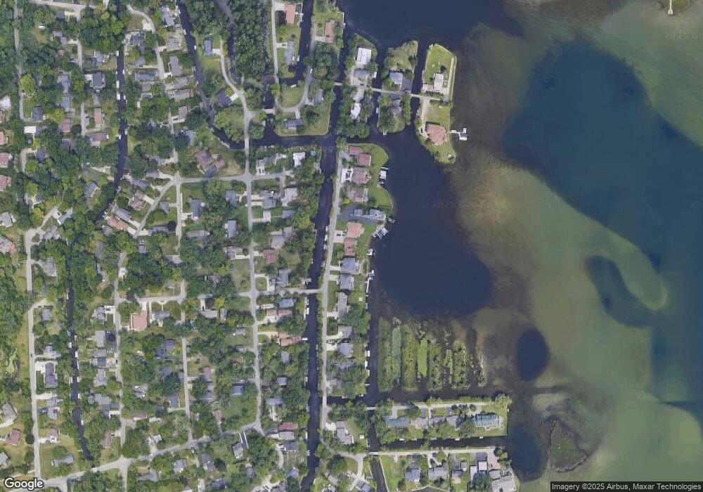
Map
Nearby Homes
- 1522 Oregon Ct
- 4098 Parkway
- 1345 Hendricks Way
- 1324 Hendricks Way
- 4796 Dow Ridge Rd
- 4275 Forest Valley Ct
- 1405 Denver Ave
- 1420 Roxford Ave
- 1883 Poppleton Dr
- 00000 Muskingum
- 1062 Forest Bay Dr
- 4616 Cass Elizabeth Rd
- 4773 Chipman Dr
- 5094 Coshocton Dr
- 4390 Cass Elizabeth Rd
- 2110 Peachtree Ct
- 3717 Lake Front St
- 5920 Greer Rd
- 2780 Orchard Place
- 5699 Applegrove Dr
- 1875 Windside Dr
- 1879 Windside Dr
- 1855 Windside Dr
- 1885 Windside Dr
- 1845 Windside Dr
- 1835 Windside Dr
- 1897 Windside Dr
- 1841 Auburndale Ave
- 1859 Auburndale Ave
- 1823 Windside Dr
- 1827 Auburndale Ave
- 1891 Auburndale Ave
- 1811 Auburndale Ave
- 1943 Windside Dr
- 1819 Auburndale Ave
- 1909 Auburndale Ave
- 1809 Windside Dr
- 1911 Auburndale Ave
- 4680 Auburndale Ct
- 1951 Windside Dr
Your Personal Tour Guide
Ask me questions while you tour the home.