1876 Carr Rd Ostrander, OH 43061
Scioto NeighborhoodEstimated Value: $488,000 - $583,029
3
Beds
2
Baths
2,042
Sq Ft
$263/Sq Ft
Est. Value
About This Home
This home is located at 1876 Carr Rd, Ostrander, OH 43061 and is currently estimated at $538,007, approximately $263 per square foot. 1876 Carr Rd is a home with nearby schools including Buckeye Valley High School.
Ownership History
Date
Name
Owned For
Owner Type
Purchase Details
Closed on
Mar 31, 2010
Sold by
Carr Road Properties Llc
Bought by
Inglish Michael D and Inglish Chenoa
Current Estimated Value
Home Financials for this Owner
Home Financials are based on the most recent Mortgage that was taken out on this home.
Original Mortgage
$31,920
Interest Rate
4.5%
Mortgage Type
New Conventional
Create a Home Valuation Report for This Property
The Home Valuation Report is an in-depth analysis detailing your home's value as well as a comparison with similar homes in the area
Home Values in the Area
Average Home Value in this Area
Purchase History
| Date | Buyer | Sale Price | Title Company |
|---|---|---|---|
| Inglish Michael D | $39,900 | Worthington Title |
Source: Public Records
Mortgage History
| Date | Status | Borrower | Loan Amount |
|---|---|---|---|
| Closed | Inglish Michael D | $31,920 |
Source: Public Records
Tax History
| Year | Tax Paid | Tax Assessment Tax Assessment Total Assessment is a certain percentage of the fair market value that is determined by local assessors to be the total taxable value of land and additions on the property. | Land | Improvement |
|---|---|---|---|---|
| 2024 | $5,369 | $158,870 | $31,220 | $127,650 |
| 2023 | $5,369 | $158,870 | $31,220 | $127,650 |
| 2022 | $4,140 | $109,240 | $22,820 | $86,420 |
| 2021 | $4,037 | $109,240 | $22,820 | $86,420 |
| 2020 | $4,061 | $109,240 | $22,820 | $86,420 |
| 2019 | $3,836 | $94,160 | $19,010 | $75,150 |
| 2018 | $3,907 | $94,160 | $19,010 | $75,150 |
| 2017 | $3,478 | $81,170 | $16,980 | $64,190 |
| 2016 | $3,172 | $81,170 | $16,980 | $64,190 |
| 2015 | $3,347 | $81,170 | $16,980 | $64,190 |
| 2014 | $3,150 | $81,170 | $16,980 | $64,190 |
| 2013 | $630 | $15,580 | $15,580 | $0 |
Source: Public Records
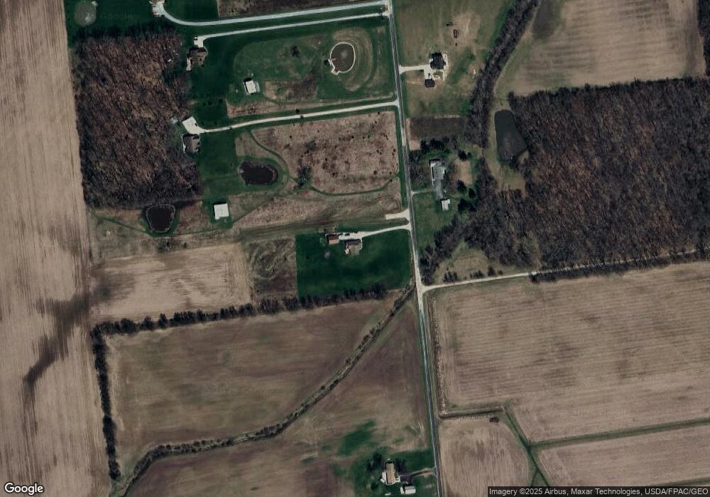
Map
Nearby Homes
- 0 Carr Rd Unit 225016840
- 0 Burnt Pond Rd Unit Tract 2
- 0 Burnt Pond Rd Unit Tract 4
- 0 Burnt Pond Rd Unit Tract 3
- 0 Burnt Pond Rd Unit Tract 5
- 535 Brayshaw Dr
- 0 Delaware County Line Rd
- 20478 Delaware County Line Rd
- 3480 Ostrander Rd
- 311 Ben Curtis Dr
- 231 Bluegrass Way
- 0 Dean Rd Unit 225032132
- 0 Dean Rd Unit 225032131
- 10156 Marysville Rd
- 101 S Main St
- 0 E High St Unit Tract 1 225034753
- 0 E High St Unit Tract 4 225034758
- 0 E High St Unit Tract 3 225034757
- 715 Tyler Rd
- 9485 State Route 37
- 0 Carr Rd Unit A 9824560
- 0 Carr Rd Unit 9816147
- 0 Carr Rd Unit B 9824561
- 0 Carr Rd Unit 6 9807183
- 0 Carr Rd Unit 4 9807156
- 0 Carr Rd Unit 5 9807153
- 0 Carr Rd Unit 15 2652413
- 0 Carr Rd Unit 2 2639788
- 0 Carr Rd Unit 1 2639258
- 0 Carr Rd Unit 2528834
- 0 Carr Rd Unit Lot 1 2421706
- 0 Carr Rd Unit 33096
- 0 Carr Rd Unit 20 9914741
- 0 Carr Rd Unit LT17 9927355
- 0 Carr Rd Unit 18 9914742
- 0 Carr Rd Unit 2LTS 9911902
- 0 Carr Rd Unit 600
- 0 Carr Rd Unit 9715777
- 0 Carr Rd Unit 224004324
- 0 Carr Rd Unit 2 2809174
Your Personal Tour Guide
Ask me questions while you tour the home.