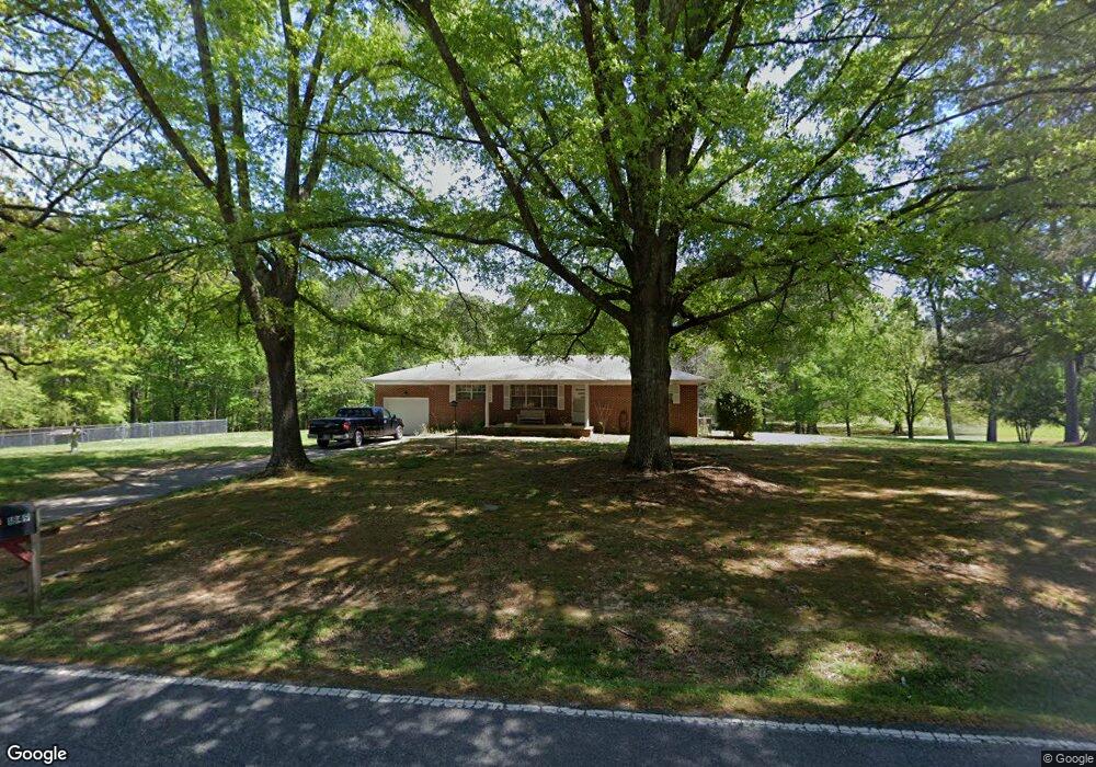
1876 Corinth Rd La Fayette, GA 30728
Estimated Value: $201,000 - $268,066
--
Bed
2
Baths
1,296
Sq Ft
$182/Sq Ft
Est. Value
About This Home
This home is located at 1876 Corinth Rd, La Fayette, GA 30728 and is currently estimated at $236,517, approximately $182 per square foot. 1876 Corinth Rd is a home located in Walker County with nearby schools including Naomi Elementary School, Lafayette Middle School, and Lafayette High School.
Ownership History
Date
Name
Owned For
Owner Type
Purchase Details
Closed on
Jul 12, 2019
Sold by
Mcclure Ronald Roy
Bought by
Mcclure Ronald Cam
Current Estimated Value
Purchase Details
Closed on
Aug 23, 2007
Sold by
Mcclure Ronald
Bought by
Dempsey Shawn
Purchase Details
Closed on
Jul 7, 2003
Sold by
Mcclure Ronald R and Mcclure Barbara
Bought by
Mcclure Ronald R Barbara F
Purchase Details
Closed on
Aug 30, 1996
Sold by
Dunwoody Alvin L
Bought by
Mcclure Ronald R and Mcclure Barbara
Purchase Details
Closed on
Sep 17, 1968
Bought by
Dunwoody Alvin L
Create a Home Valuation Report for This Property
The Home Valuation Report is an in-depth analysis detailing your home's value as well as a comparison with similar homes in the area
Home Values in the Area
Average Home Value in this Area
Purchase History
| Date | Buyer | Sale Price | Title Company |
|---|---|---|---|
| Mcclure Ronald Cam | -- | -- | |
| Dempsey Shawn | $74,844 | -- | |
| Mcclure Ronald R Barbara F | -- | -- | |
| Mcclure Ronald R | $30,000 | -- | |
| Dunwoody Alvin L | -- | -- |
Source: Public Records
Tax History Compared to Growth
Tax History
| Year | Tax Paid | Tax Assessment Tax Assessment Total Assessment is a certain percentage of the fair market value that is determined by local assessors to be the total taxable value of land and additions on the property. | Land | Improvement |
|---|---|---|---|---|
| 2024 | $2,240 | $101,380 | $33,698 | $67,682 |
| 2023 | $2,064 | $90,876 | $26,744 | $64,132 |
| 2022 | $1,721 | $68,482 | $13,353 | $55,129 |
| 2021 | $1,448 | $51,243 | $13,353 | $37,890 |
| 2020 | $1,300 | $43,847 | $13,353 | $30,494 |
| 2019 | $1,323 | $43,847 | $13,353 | $30,494 |
| 2018 | $1,160 | $43,847 | $13,353 | $30,494 |
| 2017 | $1,442 | $43,847 | $13,353 | $30,494 |
| 2016 | $1,203 | $43,847 | $13,353 | $30,494 |
| 2015 | $981 | $32,670 | $10,372 | $22,298 |
| 2014 | $889 | $32,670 | $10,372 | $22,298 |
| 2013 | -- | $32,670 | $10,372 | $22,298 |
Source: Public Records
Map
Nearby Homes
- 175 Stiles Ln
- 91 Lee Edwards Dr
- 105 Dodson Shields Rd
- 254 Abney Dr
- E Armuchee Rd
- 0 Highway 27 S Unit 10520993
- 0 Highway 27 S Unit 1512699
- 0 Cherokee Knoll Unit 1511608
- 0 Cherokee Knoll Unit 1503753
- 1282 Trion Hwy
- 2280 U S 27
- 0 Crest Dr Unit 10499874
- 0 Crest Dr Unit 1511011
- 0 Old Trion Hwy
- 114 Clear Lake Dr
- 0 Us Highway 27 Unit 1 10528447
- 2280 Us Highway 27
- 5 Alpine Dr
- 4085 Corinth Rd
- 425 Motley Dr
- 1876 Corinth Rd
- 1838 Corinth Rd
- 1808 Corinth Rd
- 1929 Corinth Rd
- 29 Kendall Ln
- 1786 Corinth Rd
- 64 Dry Creek Rd
- 1749 Corinth Rd
- 24 Kendall Ln
- 1927 Corinth Rd
- 0 Dry Creek Rd Unit 1376451
- 0 Dry Creek Rd
- 1718 Corinth Rd
- 69 Kendall Ln
- 92 Dry Creek Rd
- 31 Dry Creek Rd
- 63 Dry Creek Rd
- 91 Kendall Ln
- 1964 Corinth Rd
- 2006 Corinth Rd