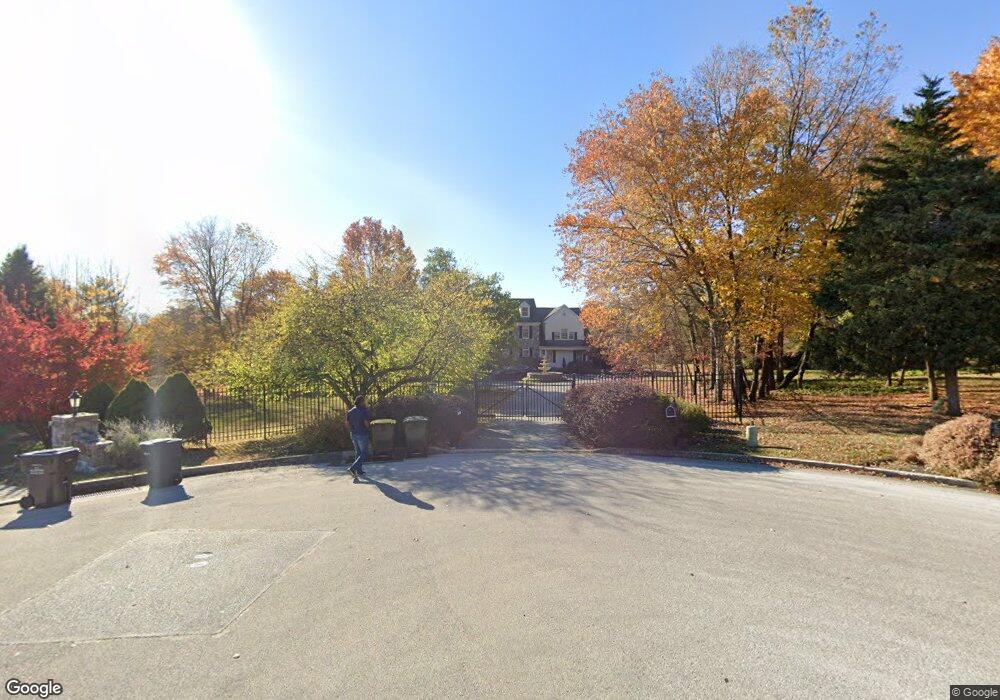
1876 Covered Bridge Rd Malvern, PA 19355
Estimated Value: $1,628,000 - $1,782,057
5
Beds
5
Baths
5,080
Sq Ft
$332/Sq Ft
Est. Value
About This Home
This home is located at 1876 Covered Bridge Rd, Malvern, PA 19355 and is currently estimated at $1,686,019, approximately $331 per square foot. 1876 Covered Bridge Rd is a home located in Chester County with nearby schools including Valley Forge Elementary School, Valley Forge Middle School, and Conestoga Senior High School.
Ownership History
Date
Name
Owned For
Owner Type
Purchase Details
Closed on
Aug 25, 2006
Sold by
Miller Dennis C and Miller Patricia P
Bought by
Marjam Vafa Ziaeddin and Marjam Vafa
Current Estimated Value
Home Financials for this Owner
Home Financials are based on the most recent Mortgage that was taken out on this home.
Original Mortgage
$1,000,000
Outstanding Balance
$561,393
Interest Rate
5.5%
Mortgage Type
Purchase Money Mortgage
Estimated Equity
$1,124,626
Purchase Details
Closed on
Nov 21, 1997
Sold by
Dimario Carmen N
Bought by
Miller Dennis C and Miller Patricia P
Home Financials for this Owner
Home Financials are based on the most recent Mortgage that was taken out on this home.
Original Mortgage
$200,000
Interest Rate
7.26%
Create a Home Valuation Report for This Property
The Home Valuation Report is an in-depth analysis detailing your home's value as well as a comparison with similar homes in the area
Home Values in the Area
Average Home Value in this Area
Purchase History
| Date | Buyer | Sale Price | Title Company |
|---|---|---|---|
| Marjam Vafa Ziaeddin | $1,297,000 | Fidelity Natl Title Ins Co | |
| Miller Dennis C | $610,000 | -- |
Source: Public Records
Mortgage History
| Date | Status | Borrower | Loan Amount |
|---|---|---|---|
| Open | Marjam Vafa Ziaeddin | $1,000,000 | |
| Previous Owner | Miller Dennis C | $200,000 |
Source: Public Records
Tax History Compared to Growth
Tax History
| Year | Tax Paid | Tax Assessment Tax Assessment Total Assessment is a certain percentage of the fair market value that is determined by local assessors to be the total taxable value of land and additions on the property. | Land | Improvement |
|---|---|---|---|---|
| 2025 | $19,038 | $540,500 | $179,250 | $361,250 |
| 2024 | $19,038 | $540,500 | $179,250 | $361,250 |
| 2023 | $17,883 | $540,500 | $179,250 | $361,250 |
| 2022 | $17,422 | $540,500 | $179,250 | $361,250 |
| 2021 | $17,091 | $540,500 | $179,250 | $361,250 |
| 2020 | $18,899 | $614,630 | $179,250 | $435,380 |
| 2019 | $18,302 | $614,630 | $179,250 | $435,380 |
| 2018 | $17,939 | $614,630 | $179,250 | $435,380 |
| 2017 | $17,512 | $614,630 | $179,250 | $435,380 |
| 2016 | -- | $614,630 | $179,250 | $435,380 |
| 2015 | -- | $614,630 | $179,250 | $435,380 |
| 2014 | -- | $614,630 | $179,250 | $435,380 |
Source: Public Records
Map
Nearby Homes
- 1410 Washington Place Unit 10
- 722 Washington Place Unit 22
- 32 Main St
- 1969 Welsh Valley Rd
- 108 Valley Stream Cir Unit 108A
- 107 Reveille Rd
- 16 Valley Stream Ln
- 0 Valley Stream Ln Unit PACT2109946
- 293 Valley Stream Ln
- 13 Woodstream Dr
- 324 Brigade Ct
- 412 Cannon Ct Unit 412
- 101 Cavalry Ct
- 19 Painters Ln
- 1804 Mountainview Dr
- 307 Cheswold Ct Unit 307
- 101 Amity Dr
- 68 Amity Dr
- 50 Parkview Cir
- 263 Lafayette Ln
- 1890 Covered Bridge Rd
- 1860 Covered Bridge Rd
- 1853 Covered Bridge Rd
- 1885 Rose Cottage Ln
- 1865 Covered Bridge Rd
- 1916 General Alexander Dr
- 1900 General Alexander Dr
- 1850 Rose Cottage Ln
- 1877 Covered Bridge Rd
- 1879 Covered Bridge Rd
- 1890 Rose Cottage Ln
- 1905 General Alexander Dr
- 1984 General Alexander Dr
- 780 Yellow Springs Rd
- 1985 General Alexander Dr
- 2062 General Alexander Dr
- 785 Yellow Springs Rd
- 810 Washington Place Unit 10
- 121 Washington Place Unit 21
- 1010 Washington Place Unit 10