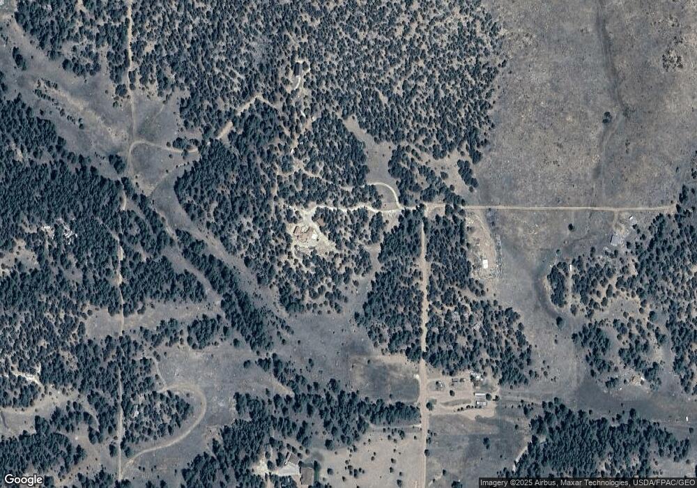
1876 O Path Cotopaxi, CO 81223
Estimated Value: $440,000 - $551,825
3
Beds
3
Baths
3,734
Sq Ft
$134/Sq Ft
Est. Value
About This Home
This home is located at 1876 O Path, Cotopaxi, CO 81223 and is currently estimated at $500,456, approximately $134 per square foot. 1876 O Path is a home located in Fremont County with nearby schools including Cotopaxi Elementary School and Cotopaxi Junior/Senior High School.
Ownership History
Date
Name
Owned For
Owner Type
Purchase Details
Closed on
May 31, 2019
Sold by
Pickens Gary and Pickens Donna L
Bought by
Ross Pierre X and Ross Lynn M
Current Estimated Value
Home Financials for this Owner
Home Financials are based on the most recent Mortgage that was taken out on this home.
Original Mortgage
$330,707
Interest Rate
4.1%
Mortgage Type
VA
Purchase Details
Closed on
May 9, 2013
Sold by
Fannie Mae
Bought by
Pickens Gary and Pickens Donna L
Purchase Details
Closed on
Mar 24, 2012
Sold by
Hodge Harvey and Hodge Mona
Bought by
Federal National Mortgage Association
Create a Home Valuation Report for This Property
The Home Valuation Report is an in-depth analysis detailing your home's value as well as a comparison with similar homes in the area
Home Values in the Area
Average Home Value in this Area
Purchase History
| Date | Buyer | Sale Price | Title Company |
|---|---|---|---|
| Ross Pierre X | $320,143 | Fidelity National Title | |
| Pickens Gary | $160,000 | None Available | |
| Federal National Mortgage Association | -- | None Available |
Source: Public Records
Mortgage History
| Date | Status | Borrower | Loan Amount |
|---|---|---|---|
| Open | Ross Pierre X | $522,900 | |
| Closed | Ross Pierre X | $334,200 | |
| Closed | Ross Plerre X | $331,793 | |
| Closed | Ross Pierre X | $330,707 | |
| Previous Owner | Hodge Harvey | $255,000 |
Source: Public Records
Tax History Compared to Growth
Tax History
| Year | Tax Paid | Tax Assessment Tax Assessment Total Assessment is a certain percentage of the fair market value that is determined by local assessors to be the total taxable value of land and additions on the property. | Land | Improvement |
|---|---|---|---|---|
| 2024 | $1,517 | $35,398 | $0 | $0 |
| 2023 | $1,517 | $27,930 | $0 | $0 |
| 2022 | $861 | $18,537 | $0 | $0 |
| 2021 | $866 | $19,071 | $0 | $0 |
| 2020 | $914 | $20,490 | $0 | $0 |
| 2019 | $913 | $20,490 | $0 | $0 |
| 2018 | $836 | $18,776 | $0 | $0 |
| 2017 | $839 | $18,776 | $0 | $0 |
| 2016 | $862 | $19,330 | $0 | $0 |
| 2015 | $860 | $19,330 | $0 | $0 |
| 2012 | $911 | $22,162 | $1,393 | $20,769 |
Source: Public Records
Map
Nearby Homes
- 1468 17th Trail
- 1563 19th Trail Unit n/a
- 1563 19th Trail
- 1363 17th Trail
- 1788 17th Trail Unit SW4S
- 00 17th Trail
- 1363 17th Trail Unit TR 24
- 1788 17th Trail
- 0 O Path
- 1562 19th Trail
- 1588 18th Trail
- 1563 18th Trail
- 1976 O Path
- 0 Lots 1 &2 19th Trail Unit 4115980
- 1613 18th Trail
- 1826 P Path
- 2026 O Path
- 1812 18th Trail
- 1638 18th Trail
- 1638 19th Trail
