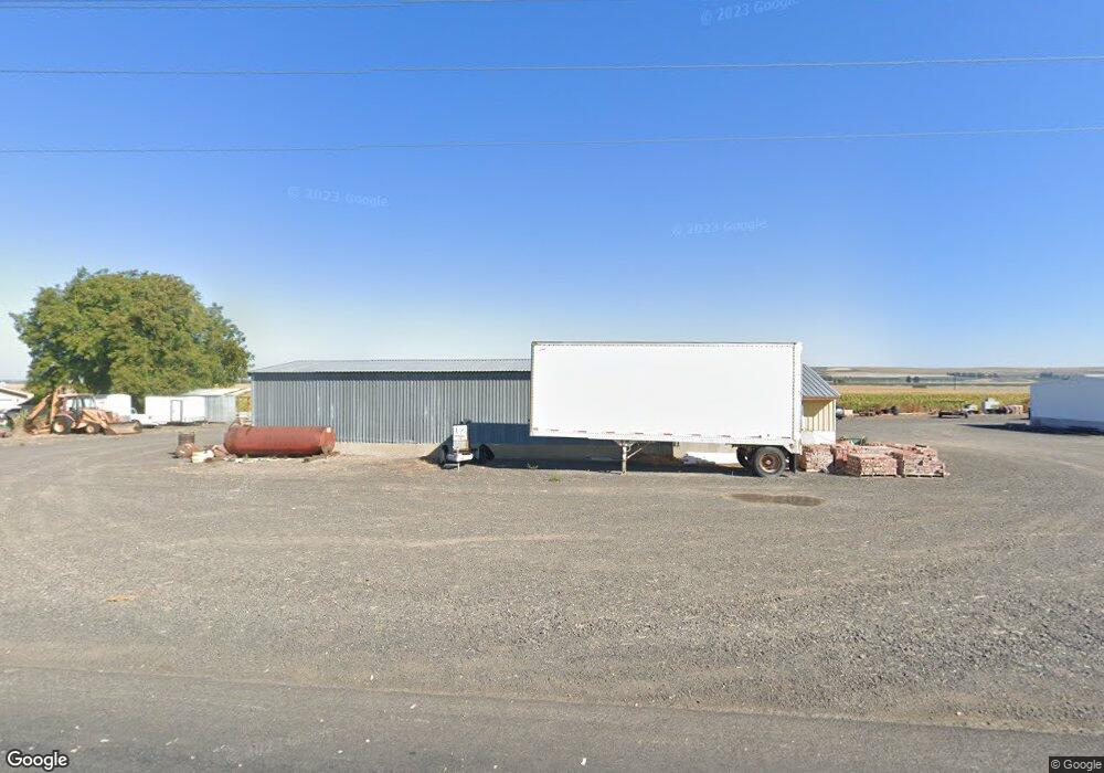
1876 Road 13 SE Othello, WA 99344
Estimated Value: $263,000 - $374,000
4
Beds
2
Baths
6,517
Sq Ft
$47/Sq Ft
Est. Value
About This Home
This home is located at 1876 Road 13 SE, Othello, WA 99344 and is currently estimated at $306,255, approximately $46 per square foot. 1876 Road 13 SE is a home with nearby schools including Red Rock Elementary School, Royal Middle School, and Royal High School.
Ownership History
Date
Name
Owned For
Owner Type
Purchase Details
Closed on
Sep 1, 2021
Sold by
Pieroy Ryan L and Pieroy Caroline J
Bought by
Piercoy Spencer S
Current Estimated Value
Home Financials for this Owner
Home Financials are based on the most recent Mortgage that was taken out on this home.
Original Mortgage
$160,000
Outstanding Balance
$145,270
Interest Rate
2.8%
Mortgage Type
New Conventional
Estimated Equity
$160,985
Purchase Details
Closed on
Nov 25, 2014
Sold by
Piercy Gary W
Bought by
Piercy Ryal L and Piercy Caroline J
Home Financials for this Owner
Home Financials are based on the most recent Mortgage that was taken out on this home.
Original Mortgage
$160,000
Interest Rate
3.92%
Mortgage Type
New Conventional
Purchase Details
Closed on
Nov 29, 2011
Sold by
Piercy Perry P
Bought by
Piercy Perry P
Create a Home Valuation Report for This Property
The Home Valuation Report is an in-depth analysis detailing your home's value as well as a comparison with similar homes in the area
Home Values in the Area
Average Home Value in this Area
Purchase History
| Date | Buyer | Sale Price | Title Company |
|---|---|---|---|
| Piercoy Spencer S | $200,000 | Frontier Title And Escrow Co | |
| Piercy Ryal L | $200,000 | Frontier Title | |
| Piercy Perry P | -- | None Available |
Source: Public Records
Mortgage History
| Date | Status | Borrower | Loan Amount |
|---|---|---|---|
| Open | Piercoy Spencer S | $160,000 | |
| Previous Owner | Piercy Ryal L | $160,000 |
Source: Public Records
Tax History Compared to Growth
Tax History
| Year | Tax Paid | Tax Assessment Tax Assessment Total Assessment is a certain percentage of the fair market value that is determined by local assessors to be the total taxable value of land and additions on the property. | Land | Improvement |
|---|---|---|---|---|
| 2025 | $2,072 | $178,501 | -- | -- |
| 2024 | $2,028 | $178,501 | $38,600 | $139,901 |
| 2023 | $2,277 | $187,000 | $38,600 | $148,400 |
| 2022 | $2,394 | $187,000 | $38,600 | $148,400 |
| 2021 | $2,258 | $187,000 | $38,600 | $148,400 |
| 2020 | $2,257 | $170,255 | $14,545 | $155,710 |
| 2019 | $2,267 | $193,620 | $15,420 | $178,200 |
| 2018 | $2,315 | $183,100 | $15,240 | $167,860 |
| 2017 | $1,646 | $135,855 | $4,950 | $130,905 |
| 2016 | $1,214 | $97,940 | $4,950 | $92,990 |
| 2013 | -- | $103,665 | $540 | $103,125 |
Source: Public Records
Map
Nearby Homes
- 1252 Road 13 SE
- 6 Road 13 SW
- 14092 Crook Loop SW
- 0 Parcel 11 Road B 9 SW
- 0 Parcel SW
- 0 Parcel 5 Road B 9 SW
- 0 Parcel 1 Road B 9 SW
- 12749 Dodson Rd S
- 0 Lot 12 Road B 9 SW
- 0 Parcel 10 Road 13 6 SW
- 0 Red Rock Field Unit NWM2381752
- 6887 & 6921 8 9 Rd SE
- 6549 Highway 262 E Unit 52
- 6888 & 6920 8 9 Rd SE
- 4749 Road 12 SW
- 6549 Hwy 262 Unit 15
- 6549 SE Hwy 262 Lot Unit 105
- 8396 Nob Hill St
- 6549 Hwy 262 E Unit 154
- 6549 Hwy 262 E Unit 157