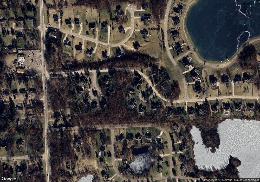
1876 Sharp Sand Cir Brighton, MI 48114
Estimated Value: $662,335 - $891,000
4
Beds
4
Baths
2,958
Sq Ft
$250/Sq Ft
Est. Value
About This Home
This home is located at 1876 Sharp Sand Cir, Brighton, MI 48114 and is currently estimated at $738,334, approximately $249 per square foot. 1876 Sharp Sand Cir is a home located in Livingston County with nearby schools including Hartland High School, Maple Tree Montessori Academy, and Cornerstone Christian School.
Ownership History
Date
Name
Owned For
Owner Type
Purchase Details
Closed on
Jan 14, 2011
Sold by
Federal National Mortgage Association
Bought by
Tubbs Andrew and Vettor Carolyn
Current Estimated Value
Purchase Details
Closed on
Jul 23, 2010
Sold by
Nationstar Mortgage Llc
Bought by
Federal National Mortgage Association
Purchase Details
Closed on
Jan 6, 2010
Sold by
Albert John M and Albert Deborah J
Bought by
Mortgage Electronic Registration Syste
Purchase Details
Closed on
Jul 25, 2000
Sold by
Livingston Development Group
Bought by
Albert John M and Albert Deborah J
Purchase Details
Closed on
Jun 24, 1999
Sold by
Morgan Investment Family Ltd Partnership
Bought by
Livingston Development Group
Home Financials for this Owner
Home Financials are based on the most recent Mortgage that was taken out on this home.
Original Mortgage
$287,000
Interest Rate
7.9%
Create a Home Valuation Report for This Property
The Home Valuation Report is an in-depth analysis detailing your home's value as well as a comparison with similar homes in the area
Home Values in the Area
Average Home Value in this Area
Purchase History
| Date | Buyer | Sale Price | Title Company |
|---|---|---|---|
| Tubbs Andrew | $277,000 | -- | |
| Federal National Mortgage Association | -- | -- | |
| Nationstar Mortgage Llc | -- | -- | |
| Mortgage Electronic Registration Syste | $354,051 | -- | |
| Albert John M | $90,000 | American Title Co | |
| Livingston Development Group | $80,000 | -- |
Source: Public Records
Mortgage History
| Date | Status | Borrower | Loan Amount |
|---|---|---|---|
| Previous Owner | Livingston Development Group | $287,000 |
Source: Public Records
Tax History Compared to Growth
Tax History
| Year | Tax Paid | Tax Assessment Tax Assessment Total Assessment is a certain percentage of the fair market value that is determined by local assessors to be the total taxable value of land and additions on the property. | Land | Improvement |
|---|---|---|---|---|
| 2025 | $5,813 | $303,600 | $0 | $0 |
| 2024 | $2,791 | $270,800 | $0 | $0 |
| 2023 | $2,668 | $250,200 | $0 | $0 |
| 2022 | $5,106 | $212,500 | $0 | $0 |
| 2021 | $5,106 | $218,400 | $0 | $0 |
| 2020 | $5,087 | $214,300 | $0 | $0 |
| 2019 | $4,753 | $212,500 | $0 | $0 |
| 2018 | $4,496 | $216,800 | $0 | $0 |
| 2017 | $4,417 | $216,800 | $0 | $0 |
| 2016 | $4,389 | $215,400 | $0 | $0 |
| 2014 | $3,843 | $185,040 | $0 | $0 |
| 2012 | $3,843 | $158,710 | $0 | $0 |
Source: Public Records
Map
Nearby Homes
- LOT 51 Rosemarie Run
- Vacant Lot 51 Rosemarie Run
- 0 Northpointe Ridge Unit 20240035531
- 10238 Shenandoah Ridge Dr
- 10310 Sweetheart Ln
- 10493 Spring Grove
- 10050 Hyne Rd
- 9724 Pine Valley Trail
- 2018 Pine Hollow Trail
- 2020 Pine Hollow Trail
- 43 Candlelight Ct
- 9975 Havendale Dr
- 2218 Pine Hollow Trail
- 10914 Doves Point
- 10183 Skeman Rd
- 10150 Skeman Rd
- 1290 Hunter Rd
- 3477 Pine Creek Dr
- TBD Moir Dr
- C-1 Doa
- 1892 Sharp Sand Cir Unit 10
- 1875 Cobble Ct Unit 6
- 1889 Sharp Sand Cir
- 1891 Cobble Ct Unit 5
- 1859 Cobble Ct
- 10088 Rosemarie Run Unit 12
- 10053 Rosemarie Run
- 10069 Rosemarie Run Unit 14
- LOT 26 Rosemarie Run
- LOT 50 Rosemarie Run
- VAC Lot 26 Rosemarie Run
- 12 Shenandoah Ridge Dr
- 10085 Rosemarie Run
- 1914 Cobble Ct Unit 4
- LOT 47 Rosemarie Run
- LOT 29 Rosemarie Run
- LOT 43 Rosemarie Run
- VAC Lot 51 Rosemarie Run
- 10104 Rosemarie Run Unit 16
- 13 Shenandoah Ridge Dr
