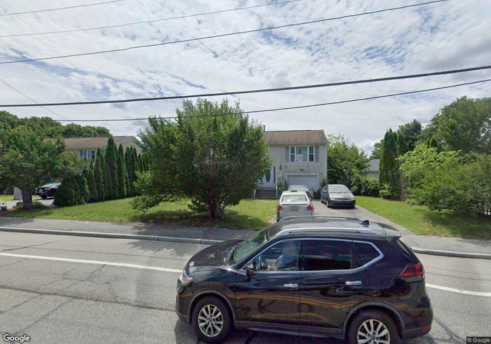
1876 W Shore Rd Warwick, RI 02889
Oakland Beach NeighborhoodEstimated Value: $401,000 - $451,000
3
Beds
2
Baths
1,696
Sq Ft
$251/Sq Ft
Est. Value
About This Home
This home is located at 1876 W Shore Rd, Warwick, RI 02889 and is currently estimated at $425,059, approximately $250 per square foot. 1876 W Shore Rd is a home located in Kent County with nearby schools including Saint Kevin School and Bishop Hendricken High School.
Ownership History
Date
Name
Owned For
Owner Type
Purchase Details
Closed on
Jul 7, 2016
Sold by
Dang Luan Y and Khan Abdul S
Bought by
Mip Rigp
Current Estimated Value
Purchase Details
Closed on
Dec 31, 2001
Sold by
M Peter Nelson Co
Bought by
Dang Luann Ya
Home Financials for this Owner
Home Financials are based on the most recent Mortgage that was taken out on this home.
Original Mortgage
$117,600
Interest Rate
6.61%
Mortgage Type
Purchase Money Mortgage
Create a Home Valuation Report for This Property
The Home Valuation Report is an in-depth analysis detailing your home's value as well as a comparison with similar homes in the area
Home Values in the Area
Average Home Value in this Area
Purchase History
| Date | Buyer | Sale Price | Title Company |
|---|---|---|---|
| Mip Rigp | $4,288 | -- | |
| Dang Luann Ya | $147,000 | -- | |
| Mip Rigp | $4,288 | -- | |
| Dang Luann Ya | $147,000 | -- |
Source: Public Records
Mortgage History
| Date | Status | Borrower | Loan Amount |
|---|---|---|---|
| Previous Owner | Dang Luann Ya | $144,500 | |
| Previous Owner | Dang Luann Ya | $117,600 |
Source: Public Records
Tax History Compared to Growth
Tax History
| Year | Tax Paid | Tax Assessment Tax Assessment Total Assessment is a certain percentage of the fair market value that is determined by local assessors to be the total taxable value of land and additions on the property. | Land | Improvement |
|---|---|---|---|---|
| 2025 | $5,065 | $398,800 | $94,900 | $303,900 |
| 2024 | $4,762 | $329,100 | $78,300 | $250,800 |
| 2023 | $4,670 | $329,100 | $78,300 | $250,800 |
| 2022 | $4,398 | $234,800 | $44,500 | $190,300 |
| 2021 | $4,398 | $234,800 | $44,500 | $190,300 |
| 2020 | $4,398 | $234,800 | $44,500 | $190,300 |
| 2019 | $4,398 | $234,800 | $44,500 | $190,300 |
| 2018 | $3,950 | $189,900 | $44,500 | $145,400 |
| 2017 | $3,844 | $189,900 | $44,500 | $145,400 |
| 2016 | $3,844 | $189,900 | $44,500 | $145,400 |
| 2015 | $3,839 | $185,000 | $57,800 | $127,200 |
| 2014 | $3,711 | $185,000 | $57,800 | $127,200 |
| 2013 | $3,661 | $185,000 | $57,800 | $127,200 |
Source: Public Records
Map
Nearby Homes
- 1870 W Shore Rd
- 1886 W Shore Rd
- 1860 W Shore Rd
- 1896 W Shore Rd
- 1896 W Shore Rd Unit Back
- 55 Chiswick Rd
- 55 Chiswick Rd Unit 2
- 59 Chiswick Rd
- 1852 W Shore Rd
- 53 Chiswick Rd
- 53 Chiswick Rd Unit 1
- 53 Chiswick Rd Unit 2
- 1873 W Shore Rd
- 1900 W Shore Rd
- 1861 W Shore Rd
- 75 Chiswick Rd
- 83 Chiswick Rd
- 1853 W Shore Rd
- 49 Chiswick Rd
- 26 Wharf Rd