1876 W Side Rd Block Island, RI 02807
Estimated Value: $644,185 - $2,589,000
3
Beds
2
Baths
1,664
Sq Ft
$922/Sq Ft
Est. Value
About This Home
This home is located at 1876 W Side Rd, Block Island, RI 02807 and is currently estimated at $1,534,546, approximately $922 per square foot. 1876 W Side Rd is a home with nearby schools including Block Island School.
Ownership History
Date
Name
Owned For
Owner Type
Purchase Details
Closed on
Jan 9, 2019
Sold by
Keane Timothy G and Keane Jennifer E
Bought by
Morgan Shannon A
Current Estimated Value
Home Financials for this Owner
Home Financials are based on the most recent Mortgage that was taken out on this home.
Original Mortgage
$280,250
Outstanding Balance
$246,895
Interest Rate
4.7%
Mortgage Type
New Conventional
Estimated Equity
$1,287,651
Create a Home Valuation Report for This Property
The Home Valuation Report is an in-depth analysis detailing your home's value as well as a comparison with similar homes in the area
Home Values in the Area
Average Home Value in this Area
Purchase History
| Date | Buyer | Sale Price | Title Company |
|---|---|---|---|
| Morgan Shannon A | $295,000 | -- |
Source: Public Records
Mortgage History
| Date | Status | Borrower | Loan Amount |
|---|---|---|---|
| Open | Morgan Shannon A | $280,250 |
Source: Public Records
Tax History Compared to Growth
Tax History
| Year | Tax Paid | Tax Assessment Tax Assessment Total Assessment is a certain percentage of the fair market value that is determined by local assessors to be the total taxable value of land and additions on the property. | Land | Improvement |
|---|---|---|---|---|
| 2024 | $1,219 | $220,920 | $0 | $220,920 |
| 2023 | $1,330 | $220,920 | $0 | $220,920 |
| 2022 | $1,251 | $176,736 | $0 | $176,736 |
| 2021 | $1,184 | $176,736 | $0 | $176,736 |
| 2020 | $1,124 | $176,736 | $0 | $176,736 |
| 2019 | $1,089 | $176,736 | $0 | $176,736 |
| 2018 | $1,052 | $176,736 | $0 | $176,736 |
| 2017 | $1,036 | $176,736 | $0 | $176,736 |
| 2016 | $1,011 | $176,736 | $0 | $176,736 |
| 2015 | $1,217 | $220,900 | $0 | $220,900 |
| 2014 | $1,180 | $220,900 | $0 | $220,900 |
| 2013 | $1,151 | $220,900 | $0 | $220,900 |
Source: Public Records
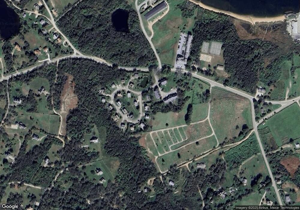
Map
Nearby Homes
- 1501 Beacon Hill Rd
- 0 Coast Guard Rd
- 1557 W Side Rd
- 1210 Graces Cove Rd
- 1596 W Side Rd
- 481 Old Town Rd
- 1087 Lakeside Dr
- 1743 Corn Neck Rd
- 256 High St
- 1289 High St
- 1713 Corn Neck Rd
- 1328 Cooneymus Rd
- 1720 Corn Neck Rd
- 1661 Sand Pond Rd
- 194 Pilot Hill Rd
- 0 Snake Hole Rd
- 1448 Mohegan Trail
- 804 Mohegan Trail
- 1035 Mohegan Trail
- 0 Mohegan Trail
- 1868 W Side Rd
- 1869 W Side Rd
- 1871 W Side Rd
- 1860 W Side Rd
- 1866 W Side Rd
- 1865 W Side Rd
- 1874 W Side Rd
- 1878 W Side Rd
- 1862 W Side Rd
- 1879 W Side Rd
- 1820 W Side Rd
- 1842 W Side Rd
- 1828 Beacon Hill Rd
- 1522 W Side Rd
- 1536 W Side Rd
- 1102 W Side Rd
- 1070 Beacon Hill Rd
- 1532 W Side Rd
- 1572 Beacon Hill Rd
- 1171 W Side Rd