18763 N 700th St Shumway, IL 62461
Estimated Value: $143,000 - $245,000
1
Bed
--
Bath
1,288
Sq Ft
$137/Sq Ft
Est. Value
About This Home
This home is located at 18763 N 700th St, Shumway, IL 62461 and is currently estimated at $176,515, approximately $137 per square foot. 18763 N 700th St is a home with nearby schools including Beecher City Grade School and Beecher City Junior/Senior High School.
Ownership History
Date
Name
Owned For
Owner Type
Purchase Details
Closed on
Aug 19, 2020
Sold by
Dasenbrock Joseph M and Phillips Barbara L
Bought by
Dasenbrock Joseph M
Current Estimated Value
Purchase Details
Closed on
Jan 19, 2017
Sold by
Robbins Brian K and Robbins Crystal L
Bought by
Dasenbrock Joseph M and Phillips Barbara L
Home Financials for this Owner
Home Financials are based on the most recent Mortgage that was taken out on this home.
Original Mortgage
$78,000
Interest Rate
4.25%
Mortgage Type
Future Advance Clause Open End Mortgage
Create a Home Valuation Report for This Property
The Home Valuation Report is an in-depth analysis detailing your home's value as well as a comparison with similar homes in the area
Home Values in the Area
Average Home Value in this Area
Purchase History
| Date | Buyer | Sale Price | Title Company |
|---|---|---|---|
| Dasenbrock Joseph M | -- | Attorney | |
| Dasenbrock Joseph M | $88,000 | Attorney |
Source: Public Records
Mortgage History
| Date | Status | Borrower | Loan Amount |
|---|---|---|---|
| Closed | Dasenbrock Joseph M | $78,000 |
Source: Public Records
Tax History Compared to Growth
Tax History
| Year | Tax Paid | Tax Assessment Tax Assessment Total Assessment is a certain percentage of the fair market value that is determined by local assessors to be the total taxable value of land and additions on the property. | Land | Improvement |
|---|---|---|---|---|
| 2024 | -- | $34,670 | $4,420 | $30,250 |
| 2023 | $1,526 | $31,380 | $4,000 | $27,380 |
| 2022 | $1,427 | $28,530 | $3,640 | $24,890 |
| 2021 | $1,369 | $27,570 | $3,520 | $24,050 |
| 2020 | $1,335 | $26,660 | $3,400 | $23,260 |
| 2019 | $1,301 | $25,880 | $3,300 | $22,580 |
| 2018 | $1,244 | $24,880 | $3,170 | $21,710 |
| 2017 | $1,200 | $24,160 | $3,080 | $21,080 |
| 2016 | $1,160 | $23,230 | $2,960 | $20,270 |
| 2015 | -- | $22,340 | $2,850 | $19,490 |
| 2014 | -- | $21,690 | $2,770 | $18,920 |
| 2013 | -- | $21,270 | $2,720 | $18,550 |
| 2012 | -- | $21,060 | $2,690 | $18,370 |
Source: Public Records
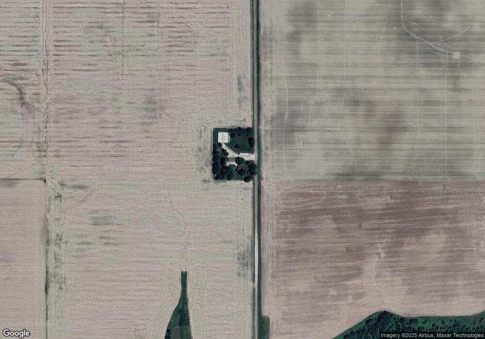
Map
Nearby Homes
- 512 W Main St
- 3831 E State Hwy
- 15872 N Bluebird Dr
- 8242 E Twin Oaks Dr
- 15325 N Cardinal Ln
- 9219 E Best Ct
- 9284 E Court 11
- 17213 N Deer Creek Dr
- 15095 N Nees Ln
- 14689 N Court 6
- 14744 N Court 1
- 15243 N Holden Ave
- 11154 E Ravenwood Ct
- 11107 E Cambridge Ln
- 15775 N Cobblestone Ct
- 16218 N Country Estates Rd
- 2405 E 1600th Ave
- 11311 E Thistlewood Ln
- 14480 N 1025th St
- 11284 E Lincolnshire Ln
- 19123 N 700th St
- 7358 E State Highway 33
- 19252 N 700th St
- 7655 E 1900th Ave
- 0 County Road 700 E
- 6709 E 1800th Ave
- 511 W Main St
- 17932 N 700th St
- 6411 E 1800th Ave
- 510 W North St
- 508 W Main St
- 507 W Main St
- 509 W North St
- 208 W Route 33
- 501 W North St
- 204 S Bland St
- 501 W Main St
- 209 N Bland St
- 18558 N 600th St
- 502 W Main St