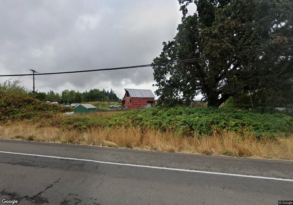
18768 Highway 99e Hubbard, OR 97032
Estimated Value: $563,171 - $574,000
3
Beds
1
Bath
1,728
Sq Ft
$329/Sq Ft
Est. Value
About This Home
This home is located at 18768 Highway 99e, Hubbard, OR 97032 and is currently estimated at $568,586, approximately $329 per square foot. 18768 Highway 99e is a home located in Marion County with nearby schools including North Marion Primary School, North Marion Middle School, and North Marion High School.
Ownership History
Date
Name
Owned For
Owner Type
Purchase Details
Closed on
Jan 2, 2007
Sold by
Stigall Ford M and Stigall Sharon R
Bought by
Herrejon Ruiz Joel
Current Estimated Value
Home Financials for this Owner
Home Financials are based on the most recent Mortgage that was taken out on this home.
Original Mortgage
$269,900
Outstanding Balance
$160,842
Interest Rate
6.16%
Mortgage Type
Unknown
Estimated Equity
$407,744
Purchase Details
Closed on
Mar 5, 2003
Sold by
Washington Mutual Bank Fa
Bought by
Stigall Ford M and Stigall Sharon R
Home Financials for this Owner
Home Financials are based on the most recent Mortgage that was taken out on this home.
Original Mortgage
$115,900
Interest Rate
5.83%
Purchase Details
Closed on
Nov 8, 2001
Sold by
Coleman Ernest L
Bought by
Washington Mutual Bank Fa and Bank United
Create a Home Valuation Report for This Property
The Home Valuation Report is an in-depth analysis detailing your home's value as well as a comparison with similar homes in the area
Home Values in the Area
Average Home Value in this Area
Purchase History
| Date | Buyer | Sale Price | Title Company |
|---|---|---|---|
| Herrejon Ruiz Joel | $299,900 | Ticor Title | |
| Stigall Ford M | -- | Fidelity Natl Title Co Of Or | |
| Washington Mutual Bank Fa | $170,358 | -- |
Source: Public Records
Mortgage History
| Date | Status | Borrower | Loan Amount |
|---|---|---|---|
| Open | Herrejon Ruiz Joel | $269,900 | |
| Previous Owner | Stigall Ford M | $115,900 |
Source: Public Records
Tax History Compared to Growth
Tax History
| Year | Tax Paid | Tax Assessment Tax Assessment Total Assessment is a certain percentage of the fair market value that is determined by local assessors to be the total taxable value of land and additions on the property. | Land | Improvement |
|---|---|---|---|---|
| 2024 | $2,972 | $263,380 | -- | -- |
| 2023 | $2,863 | $255,710 | $0 | $0 |
| 2022 | $2,727 | $248,270 | $0 | $0 |
| 2021 | $2,624 | $241,040 | $0 | $0 |
| 2020 | $2,577 | $234,020 | $0 | $0 |
| 2019 | $2,309 | $227,210 | $0 | $0 |
| 2018 | $2,312 | $0 | $0 | $0 |
| 2017 | $2,164 | $0 | $0 | $0 |
| 2016 | $2,117 | $0 | $0 | $0 |
| 2015 | $2,075 | $0 | $0 | $0 |
| 2014 | $1,986 | $0 | $0 | $0 |
Source: Public Records
Map
Nearby Homes
- 18767 Highway 99e
- 12875 Peggys Place NE
- 3370 Maple St Unit 44
- 3370 Maple St
- 2469 Dorsey Dr
- 2514 Baines Blvd
- 2157 Dorsey Dr
- 2143 Dorsey Dr
- 2143 Dorsey (-2145) Dr
- 2356 B St
- 3197 Rainbow Loop Unit 10
- 3766 10th St
- 18767 Oregon 99e
- 19601 Boones Ferry Rd NE
- 3218 West Place
- 13032 Mapleleaf Ct NE
- 17765 Monnier Rd NE
- 11623 Broadacres Rd NE
- 13042 Brookside Dr NE
- 29497 S Meridian Rd
- 18588 Highway 99e
- 18590 Highway 99e
- 18698 Highway 99e
- 18688 Highway 99e
- 18803 Highway 99e
- 18668 Highway 99e
- 18807 Highway 99e
- 18807 Oregon 99e
- 18648 Highway 99e
- 18837 Highway 99e
- 13070 Blackberry Ln
- 18618 Highway 99e
- 18715 Shirley Ave NE
- 18610 Highway 99e
- 13090 Blackberry Ln
- 13155 Taylor Ln NE
- 12855 Peggys Place NE
- 13051 Blackberry Ln
- 18607 Highway 99e
- 18598 Highway 99e