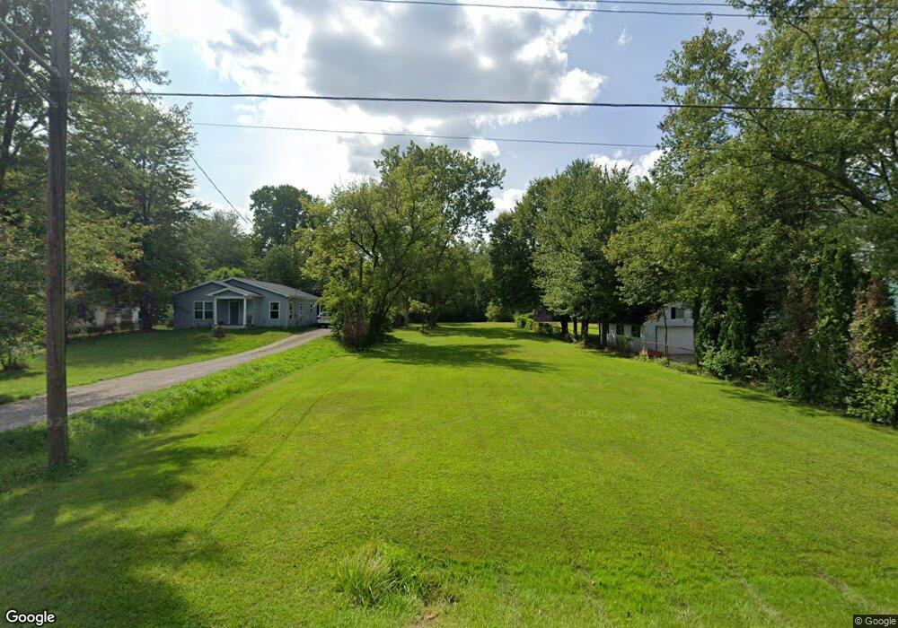
1877 Maple Rd Kimball, MI 48074
Estimated Value: $167,000 - $309,000
Studio
1
Bath
1,000
Sq Ft
$219/Sq Ft
Est. Value
About This Home
This home is located at 1877 Maple Rd, Kimball, MI 48074 and is currently estimated at $219,333, approximately $219 per square foot. 1877 Maple Rd is a home located in St. Clair County with nearby schools including Kimball Elementary School, Central Middle School, and Port Huron High School.
Ownership History
Date
Name
Owned For
Owner Type
Purchase Details
Closed on
Jul 24, 2025
Sold by
Smith-Snyder Angela and Discretionary Trust Of Rodney Fraelich
Bought by
Waitkus Luke Joseph
Current Estimated Value
Purchase Details
Closed on
Jul 2, 2025
Sold by
Houle Kathy and Sloan Kathy K
Bought by
Discretionary Trust and Smith-Snyder
Purchase Details
Closed on
Mar 24, 2014
Sold by
Fraelich Ronald G
Bought by
Fraelich Ronald G
Purchase Details
Closed on
Mar 9, 2011
Sold by
Fraelich Gail
Bought by
Fraelich Ronald
Purchase Details
Closed on
Jan 11, 1984
Sold by
Houle Maurice Patrick
Bought by
Fraelich Ronald G and Fraelich Gail M
Create a Home Valuation Report for This Property
The Home Valuation Report is an in-depth analysis detailing your home's value as well as a comparison with similar homes in the area
Home Values in the Area
Average Home Value in this Area
Purchase History
| Date | Buyer | Sale Price | Title Company |
|---|---|---|---|
| Waitkus Luke Joseph | $175,800 | Ata National Title | |
| Discretionary Trust | -- | None Listed On Document | |
| Fraelich Ronald G | -- | None Available | |
| Fraelich Ronald | -- | None Available | |
| Fraelich Ronald G | $9,000 | Land Title |
Source: Public Records
Tax History
| Year | Tax Paid | Tax Assessment Tax Assessment Total Assessment is a certain percentage of the fair market value that is determined by local assessors to be the total taxable value of land and additions on the property. | Land | Improvement |
|---|---|---|---|---|
| 2025 | $51 | $7,500 | $0 | $0 |
| 2024 | $50 | $7,500 | $0 | $0 |
| 2023 | $45 | $7,500 | $0 | $0 |
| 2022 | $116 | $5,500 | $0 | $0 |
| 2020 | $119 | $2,900 | $2,900 | $0 |
| 2019 | $103 | $2,800 | $0 | $0 |
| 2018 | $198 | $6,500 | $0 | $0 |
| 2017 | $201 | $8,000 | $0 | $0 |
| 2016 | $109 | $8,000 | $0 | $0 |
| 2015 | -- | $7,800 | $7,800 | $0 |
| 2014 | -- | $7,700 | $7,700 | $0 |
| 2013 | -- | $8,700 | $0 | $0 |
Source: Public Records
Map
Nearby Homes
- V/L Allen
- 1786 Omar Rd
- 1604 Allen Rd
- 1948 Meadowlark Ln
- 1906 Morningstar Ave
- 0 Allen Rd Unit 20250008597
- 0 Allen Rd Unit 20250008612
- 00 Howard Rd
- 2007 Edward Ln E
- 2047 Edward Ln E
- 0 Wadhams Rd Unit 50155021
- 1405 Range Rd
- 0000 Range Rd
- 00 Range Rd
- 1091 Allen Rd
- 00 Griswold Rd
- 0 Lapeer Rd Unit 50137357
- 5117 Ravenswood Rd
- 0 Wall Rd Unit 50185999
- 2758 E Lake Dr
Your Personal Tour Guide
Ask me questions while you tour the home.