1877 Peavine Rd Rock Spring, GA 30739
Rock Spring NeighborhoodEstimated Value: $243,521 - $490,000
--
Bed
2
Baths
2,100
Sq Ft
$165/Sq Ft
Est. Value
About This Home
This home is located at 1877 Peavine Rd, Rock Spring, GA 30739 and is currently estimated at $346,880, approximately $165 per square foot. 1877 Peavine Rd is a home located in Walker County with nearby schools including Rock Spring Elementary School, Lafayette High School, and Alice M Daley Adventist School.
Ownership History
Date
Name
Owned For
Owner Type
Purchase Details
Closed on
Apr 22, 1997
Sold by
Davis Mark Ansel and Davis Connie E
Bought by
Welsh Edward L and Welsh Laura M
Current Estimated Value
Purchase Details
Closed on
Feb 15, 1992
Sold by
Simpkins Clovis and Simpkins Freddie
Bought by
Davis Mark Ansel and Davis Connie E
Purchase Details
Closed on
Feb 28, 1989
Sold by
June M Miller
Bought by
Simpkins Clovis and Simpkins Freddie
Purchase Details
Closed on
Jan 1, 1972
Bought by
June M Miller
Create a Home Valuation Report for This Property
The Home Valuation Report is an in-depth analysis detailing your home's value as well as a comparison with similar homes in the area
Home Values in the Area
Average Home Value in this Area
Purchase History
| Date | Buyer | Sale Price | Title Company |
|---|---|---|---|
| Welsh Edward L | $77,700 | -- | |
| Davis Mark Ansel | $68,000 | -- | |
| Simpkins Clovis | -- | -- | |
| June M Miller | -- | -- |
Source: Public Records
Tax History Compared to Growth
Tax History
| Year | Tax Paid | Tax Assessment Tax Assessment Total Assessment is a certain percentage of the fair market value that is determined by local assessors to be the total taxable value of land and additions on the property. | Land | Improvement |
|---|---|---|---|---|
| 2024 | $1,877 | $79,958 | $9,924 | $70,034 |
| 2023 | $1,787 | $74,055 | $7,876 | $66,179 |
| 2022 | $1,629 | $63,064 | $6,618 | $56,446 |
| 2021 | $1,488 | $51,688 | $6,618 | $45,070 |
| 2020 | $1,251 | $40,998 | $6,618 | $34,380 |
| 2019 | $1,272 | $40,998 | $6,618 | $34,380 |
| 2018 | $1,085 | $40,998 | $6,618 | $34,380 |
| 2017 | $1,385 | $40,998 | $6,618 | $34,380 |
| 2016 | $1,084 | $40,998 | $6,618 | $34,380 |
| 2015 | $1,124 | $40,164 | $12,508 | $27,656 |
| 2014 | $1,028 | $40,164 | $12,508 | $27,656 |
| 2013 | -- | $40,164 | $12,508 | $27,656 |
Source: Public Records
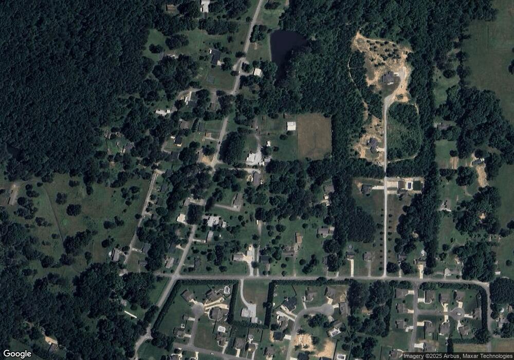
Map
Nearby Homes
- 285 Cooper Rd
- 36 Pheonix Cir
- 195 Honeysuckle Dr
- 788 Long Hollow Rd
- 294 E Long Hollow Rd
- 1121 Arnold Rd
- 183 Long Hollow Rd
- 1476 Arnold Rd
- 1902 Long Hollow Rd
- 87 Peavine Rd
- 453 Harvest Ln
- 186 Henry Dr
- 100 Deer Ridge Ln
- 103 Deer Ridge Ln
- 379 N Beaumont Rd
- 200 Hunting Ridge Cir
- 5602 Georgia 95
- 00 Georgia 95
- 140 Fieldstone Commons
- 54 Cedar Farm Ln
- 1861 Peavine Rd
- 1913 Peavine Rd
- 1829 Peavine Rd
- 1862 Peavine Rd
- 1884 Peavine Rd
- 1921 Peavine Rd
- 1826 Peavine Rd
- 1908 Peavine Rd
- 1959 Peavine Rd
- 143 Cooper Rd
- 1916 Peavine Rd
- 1938 Peavine Rd
- 55 Holt Rd
- 117 Cooper Rd
- 81 Cooper Rd
- 7 Dogwood Cir
- 113 Dogwood Cir
- 97 Dogwood Cir
- 125 Dogwood Cir
- 75 Dogwood Cir