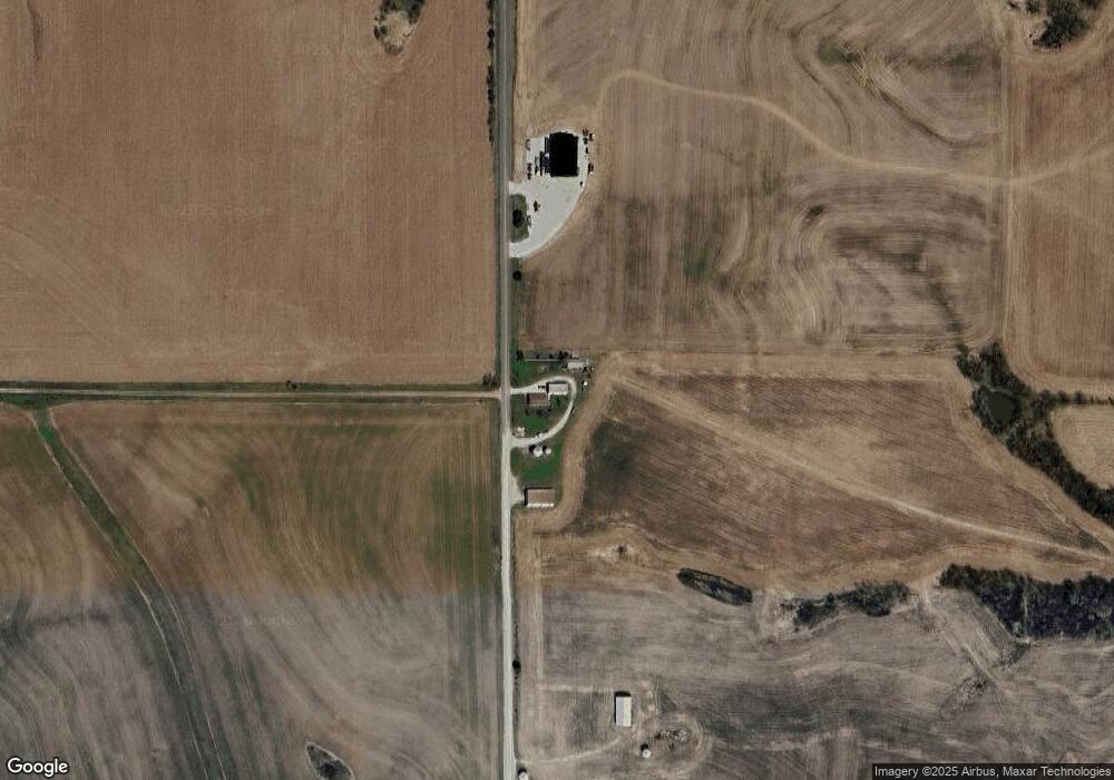
1877 State Route H Bolckow, MO 64427
Estimated Value: $146,000 - $579,692
3
Beds
2
Baths
1,888
Sq Ft
$202/Sq Ft
Est. Value
About This Home
This home is located at 1877 State Route H, Bolckow, MO 64427 and is currently estimated at $381,564, approximately $202 per square foot. 1877 State Route H is a home with nearby schools including North Andrew Elementary School, North Andrew Middle School, and North Andrew High School.
Create a Home Valuation Report for This Property
The Home Valuation Report is an in-depth analysis detailing your home's value as well as a comparison with similar homes in the area
Home Values in the Area
Average Home Value in this Area
Tax History Compared to Growth
Tax History
| Year | Tax Paid | Tax Assessment Tax Assessment Total Assessment is a certain percentage of the fair market value that is determined by local assessors to be the total taxable value of land and additions on the property. | Land | Improvement |
|---|---|---|---|---|
| 2025 | $5,437 | $82,440 | $2,590 | $79,850 |
| 2024 | $5,437 | $78,910 | $2,590 | $76,320 |
| 2023 | $2,900 | $43,360 | $2,590 | $40,770 |
| 2022 | $2,895 | $43,360 | $2,590 | $40,770 |
| 2021 | $2,837 | $43,400 | $2,590 | $40,810 |
| 2020 | $2,835 | $43,400 | $2,590 | $40,810 |
| 2019 | $2,696 | $43,400 | $2,590 | $40,810 |
| 2018 | $2,678 | $43,400 | $2,590 | $40,810 |
| 2017 | $2,746 | $43,400 | $2,590 | $40,810 |
| 2016 | $2,746 | $43,400 | $2,590 | $40,810 |
| 2015 | -- | $43,400 | $2,590 | $40,810 |
| 2011 | -- | $50,460 | $14,490 | $35,970 |
Source: Public Records
Map
Nearby Homes
- 1148 County Road 13
- 1 County Road 45
- Co Rd 45
- 0 Us-71 Hwy
- 601 U S 71
- 1 E Hershaw St
- Tract 7 County Rd 65 and 66 N A
- 66 Cr 66 - Tract 5 Rd
- 58.7+/- Acres County Road 66
- 9027 County Road 145 N A
- 0 State Highway Y
- 0 Y Hwy Unit HMS2530619
- 607 Saint Joseph Blvd
- 27760 State Highway Y
- 27860 Y Hwy
- 27760 Y Hwy
- 33518 Holt 150
- 205 W Lee St
- 404 S Lake St
- 28474 Highway B