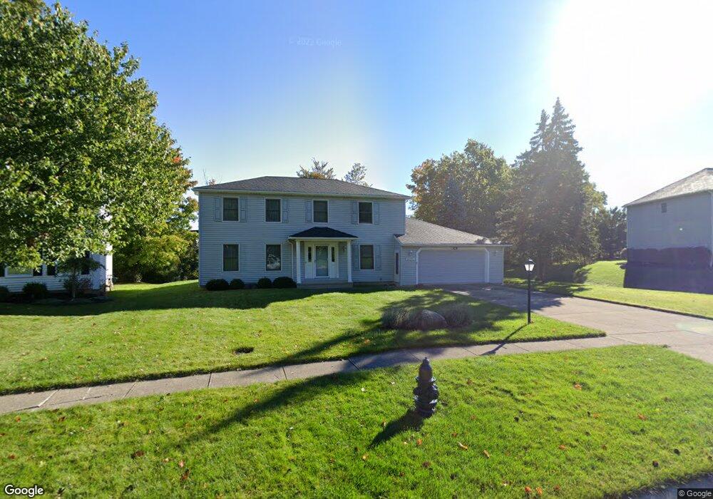
18779 S Inlet Dr Strongsville, OH 44136
Estimated Value: $364,000 - $412,000
3
Beds
3
Baths
1,920
Sq Ft
$200/Sq Ft
Est. Value
About This Home
This home is located at 18779 S Inlet Dr, Strongsville, OH 44136 and is currently estimated at $383,157, approximately $199 per square foot. 18779 S Inlet Dr is a home located in Cuyahoga County with nearby schools including Strongsville High School, Royal Redeemer Lutheran School, and Saint Albert the Great Roman Catholic School.
Ownership History
Date
Name
Owned For
Owner Type
Purchase Details
Closed on
Nov 29, 1985
Sold by
Colony Builders Inc
Bought by
Beier Hans A and Beier Carley A
Current Estimated Value
Purchase Details
Closed on
Jul 23, 1985
Sold by
Basile Robert A
Bought by
Colony Builders Inc
Purchase Details
Closed on
Jul 21, 1983
Bought by
Basile Robert A
Purchase Details
Closed on
May 13, 1982
Bought by
Broadway Financial Corp
Purchase Details
Closed on
Jan 1, 1980
Bought by
North East Land Co
Create a Home Valuation Report for This Property
The Home Valuation Report is an in-depth analysis detailing your home's value as well as a comparison with similar homes in the area
Home Values in the Area
Average Home Value in this Area
Purchase History
| Date | Buyer | Sale Price | Title Company |
|---|---|---|---|
| Beier Hans A | $115,600 | -- | |
| Colony Builders Inc | $21,000 | -- | |
| Basile Robert A | -- | -- | |
| Broadway Financial Corp | -- | -- | |
| North East Land Co | -- | -- |
Source: Public Records
Tax History Compared to Growth
Tax History
| Year | Tax Paid | Tax Assessment Tax Assessment Total Assessment is a certain percentage of the fair market value that is determined by local assessors to be the total taxable value of land and additions on the property. | Land | Improvement |
|---|---|---|---|---|
| 2024 | $4,378 | $103,040 | $20,090 | $82,950 |
| 2023 | $4,609 | $82,780 | $18,800 | $63,980 |
| 2022 | $4,602 | $82,780 | $18,800 | $63,980 |
| 2021 | $4,565 | $82,780 | $18,800 | $63,980 |
| 2020 | $4,118 | $67,830 | $15,400 | $52,430 |
| 2019 | $3,998 | $193,800 | $44,000 | $149,800 |
| 2018 | $3,628 | $67,830 | $15,400 | $52,430 |
| 2017 | $3,485 | $61,290 | $12,220 | $49,070 |
| 2016 | $3,457 | $61,290 | $12,220 | $49,070 |
| 2015 | $3,506 | $61,290 | $12,220 | $49,070 |
| 2014 | $3,506 | $61,290 | $12,220 | $49,070 |
Source: Public Records
Map
Nearby Homes
- 13335 Tradewinds Dr
- 13448 Compass Point Dr
- 19252 Hidden Woods Ln
- 14132 Walking Stick Way
- 18987 Laurell Cir
- 18680 Bennett Rd
- 19813 Cross Trail S
- 14558 Drake Rd
- 14985 Camden Cir
- 106 Briarleigh Dr
- 3137 Blackburn Ln
- 11438 Drake Rd
- 15188 Trails Landing
- 11886 Friar Post
- 19694 Benbow Rd
- 19740 Benbow Rd
- 266 Bettie Ln
- 15604-REAR Boston Rd
- 18229 Howe Rd
- 15772 Boston Rd
- 18761 S Inlet Dr
- 18797 S Inlet Dr
- 13250 Long Boat Cir
- 18743 S Inlet Dr
- 13224 Long Boat Cir
- 13361 Tradewinds Dr
- 18802 S Inlet Dr
- 13207 Long Boat Cir
- 18764 S Inlet Dr
- 13324 Cheryl Dr
- 13296 Cheryl Dr
- 13268 Cheryl Dr
- 13192 Long Boat Cir
- 18818 S Inlet Dr
- 13240 Cheryl Dr
- 13317 Tradewinds Dr
- 13175 Long Boat Cir
- 13441 Tradewinds Dr
- 13406 Tradewinds Dr
- 13380 Tradewinds Dr