1878 Hardin Ln Powell, OH 43065
Estimated Value: $821,000 - $1,071,857
4
Beds
4
Baths
3,485
Sq Ft
$265/Sq Ft
Est. Value
About This Home
This home is located at 1878 Hardin Ln, Powell, OH 43065 and is currently estimated at $922,214, approximately $264 per square foot. 1878 Hardin Ln is a home located in Delaware County with nearby schools including Liberty Tree Elementary School, Hyatts Middle School, and Olentangy Berlin High School.
Ownership History
Date
Name
Owned For
Owner Type
Purchase Details
Closed on
Jun 8, 2011
Sold by
Gore Alan W and Ziegler Gore Jacqueline M
Bought by
Gore Alan W and Ziegler Gore Jacqueline M
Current Estimated Value
Purchase Details
Closed on
Jun 28, 2006
Sold by
Jones Horace B and Jones Louann
Bought by
Gore Alan W and Ziegler Gore Jacqueline M
Home Financials for this Owner
Home Financials are based on the most recent Mortgage that was taken out on this home.
Original Mortgage
$348,000
Interest Rate
6.68%
Mortgage Type
Purchase Money Mortgage
Create a Home Valuation Report for This Property
The Home Valuation Report is an in-depth analysis detailing your home's value as well as a comparison with similar homes in the area
Home Values in the Area
Average Home Value in this Area
Purchase History
| Date | Buyer | Sale Price | Title Company |
|---|---|---|---|
| Gore Alan W | -- | Attorney | |
| Gore Alan W | $448,000 | Talon Group |
Source: Public Records
Mortgage History
| Date | Status | Borrower | Loan Amount |
|---|---|---|---|
| Closed | Gore Alan W | $348,000 |
Source: Public Records
Tax History
| Year | Tax Paid | Tax Assessment Tax Assessment Total Assessment is a certain percentage of the fair market value that is determined by local assessors to be the total taxable value of land and additions on the property. | Land | Improvement |
|---|---|---|---|---|
| 2024 | $19,530 | $371,670 | $82,080 | $289,590 |
| 2023 | $19,606 | $371,670 | $82,080 | $289,590 |
| 2022 | $14,142 | $212,420 | $58,800 | $153,620 |
| 2021 | $14,230 | $212,420 | $58,800 | $153,620 |
| 2020 | $14,298 | $212,420 | $58,800 | $153,620 |
| 2019 | $12,611 | $195,300 | $49,000 | $146,300 |
| 2018 | $12,669 | $195,300 | $49,000 | $146,300 |
| 2017 | $12,537 | $153,270 | $38,500 | $114,770 |
| 2016 | $10,585 | $153,270 | $38,500 | $114,770 |
| 2015 | $9,577 | $153,270 | $38,500 | $114,770 |
| 2014 | $9,709 | $153,270 | $38,500 | $114,770 |
| 2013 | $9,934 | $153,270 | $38,500 | $114,770 |
Source: Public Records
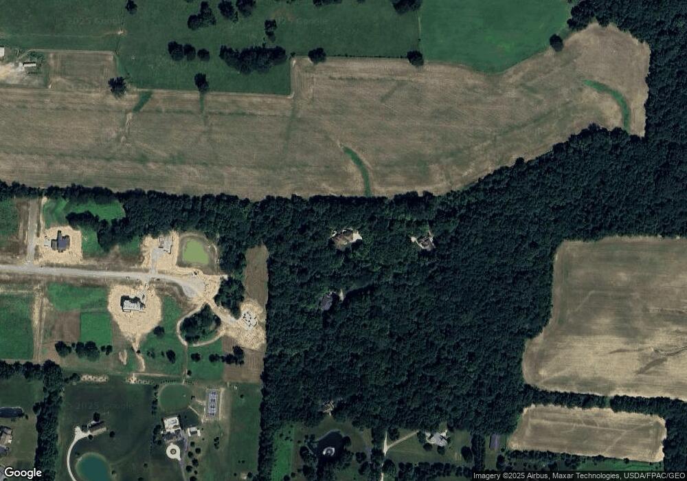
Map
Nearby Homes
- 4754 Liberty Rd
- 2481 Clark Shaw Rd
- 2513 Clark Shaw Rd
- 5487 Fawnsbury Ct
- 5503 Fawnsbury Ct
- 5507 Fawnsbury Ct
- 5519 Fawnsbury Ct
- 5480 Fawnsbury Ct
- 5484 Fawnsbury Ct
- 5488 Fawnsbury Ct
- 5492 Fawnsbury Ct
- Saugatuck Plan at Liberty Grand - The Pointe
- Campbell Plan at Clarkshaw Crossing - Townhomes
- Saugatuck Plan at Clarkshaw Crossing - Single Family Homes
- Braeden Plan at Clarkshaw Crossing - Townhomes
- Westerville Plan at Clarkshaw Crossing - Single Family Homes
- Naperville Plan at Clarkshaw Crossing - Single Family Homes
- Oxford Plan at Clarkshaw Crossing - Single Family Homes
- Dublin Plan at Clarkshaw Crossing - Townhomes
- Erie Plan at Liberty Grand - The Preserve
- 1884 Hardin Ln
- 3 Hardin Ln Unit L16
- 0 Hardin Ln
- 1872 Hardin Ln
- 1890 Hardin Ln
- 2068 Liberty Trail
- 1860 Hardin Ln
- 2010 Hardin Ln
- 1910 Hardin Ln
- 2100 Hardin Ln
- 1840 Hardin Ln
- 1930 Hardin Ln
- 1800 Hardin Ln
- 1730 Hardin Ln
- 2190 Thea Ln N Unit Tract 6
- 2246 Thea Ln N Unit Tract 4
- 2272 Thea Ln N Unit Tract 3
- 2330 Thea Ln N Unit Tract 1
- 2000 Hardin Ln
- 2073 Liberty Trail