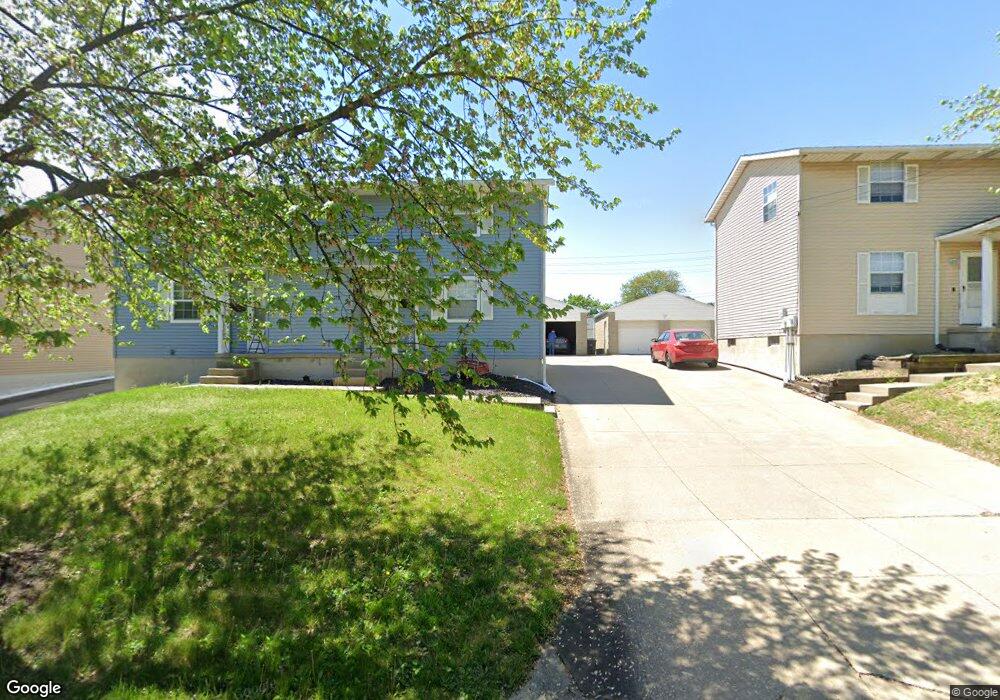
1878 Redwood Ave Unit 1880 Akron, OH 44301
Firestone Park NeighborhoodEstimated Value: $170,000 - $204,000
4
Beds
2
Baths
1,960
Sq Ft
$94/Sq Ft
Est. Value
About This Home
This home is located at 1878 Redwood Ave Unit 1880, Akron, OH 44301 and is currently estimated at $184,251, approximately $94 per square foot. 1878 Redwood Ave Unit 1880 is a home located in Summit County with nearby schools including Kenmore Garfield Community Learning Center, Main Preparatory Academy, and Eagle Elementary.
Ownership History
Date
Name
Owned For
Owner Type
Purchase Details
Closed on
May 6, 2019
Sold by
Glorel Properties Llc
Bought by
M Redonda Holdings Llc
Current Estimated Value
Purchase Details
Closed on
May 27, 2009
Sold by
Sedgewood Llc
Bought by
Glorel Properties Llc
Purchase Details
Closed on
Jan 15, 2009
Sold by
Karam Elias J and Karam Gloria J
Bought by
Sedgewood Llc
Create a Home Valuation Report for This Property
The Home Valuation Report is an in-depth analysis detailing your home's value as well as a comparison with similar homes in the area
Home Values in the Area
Average Home Value in this Area
Purchase History
| Date | Buyer | Sale Price | Title Company |
|---|---|---|---|
| M Redonda Holdings Llc | -- | None Available | |
| Glorel Properties Llc | -- | Akron Title & Abstract | |
| Sedgewood Llc | -- | Akron Title & Abstract |
Source: Public Records
Tax History Compared to Growth
Tax History
| Year | Tax Paid | Tax Assessment Tax Assessment Total Assessment is a certain percentage of the fair market value that is determined by local assessors to be the total taxable value of land and additions on the property. | Land | Improvement |
|---|---|---|---|---|
| 2025 | $3,119 | $41,318 | $7,088 | $34,230 |
| 2024 | $3,119 | $58,223 | $7,088 | $51,135 |
| 2023 | $3,119 | $58,223 | $7,088 | $51,135 |
| 2022 | $2,195 | $31,956 | $5,135 | $26,821 |
| 2021 | $2,197 | $31,956 | $5,135 | $26,821 |
| 2020 | $222 | $42,930 | $5,140 | $37,790 |
| 2019 | $193 | $32,860 | $5,140 | $27,720 |
| 2018 | $191 | $32,860 | $5,140 | $27,720 |
| 2017 | $2,448 | $32,860 | $5,140 | $27,720 |
| 2016 | $194 | $32,860 | $5,140 | $27,720 |
| 2015 | $2,448 | $32,860 | $5,140 | $27,720 |
| 2014 | $2,429 | $32,860 | $5,140 | $27,720 |
| 2013 | $2,396 | $33,110 | $5,140 | $27,970 |
Source: Public Records
Map
Nearby Homes
- 1882 Gless Ave
- 739 S Firestone Blvd
- 1698 Sunset Ave
- 1699 Redwood Ave
- 1731 Highview Ave
- 1663 Sunset Ave
- 1708 Highview Ave
- 1645 Hammel St
- 315 Clinton Ave
- 291 Selden Ave
- 1576 Hammel St
- 0 Woodview Dr
- 1642 Highview Ave
- 1604 Oakwood Ave
- 676 E Catawba Ave
- 369 Mission Dr
- 361 Mission Dr
- 249 Naomi St
- 1571 Redwood Ave
- 1614 Glenmount Ave
- 1884 Redwood Ave Unit 1886
- 1870 Redwood Ave Unit 1872
- 1881 1885 Redwood Ave
- 1871 Redwood Ave
- 1881 Redwood Ave Unit 1885
- 1865 Redwood Ave
- 1876 Gless Ave
- 1870 Gless Ave
- 1859 Redwood Ave
- 1888 Gless Ave
- 1864 Gless Ave
- 1915 Brown St
- 1856 Gless Ave
- 492 E Woodsdale Ave
- 502 E Woodsdale Ave
- 491 E Waterloo Rd Unit 204
- 491 E Waterloo Rd
- 0 Brown St Unit 3090381
- 1910 Brown St
- 1875 Gless Ave