1879 Cassel Rd Lansdale, PA 19446
Estimated Value: $1,671,000 - $1,885,955
5
Beds
7
Baths
6,306
Sq Ft
$278/Sq Ft
Est. Value
About This Home
This home is located at 1879 Cassel Rd, Lansdale, PA 19446 and is currently estimated at $1,751,489, approximately $277 per square foot. 1879 Cassel Rd is a home with nearby schools including Worcester Elementary School, Skyview Upper Elementary School, and Arcola Intermediate School.
Ownership History
Date
Name
Owned For
Owner Type
Purchase Details
Closed on
Feb 9, 2018
Sold by
Toll Pa Lp
Bought by
Dwyer Patrick M and Dwyer Allison M
Current Estimated Value
Purchase Details
Closed on
Jun 4, 2015
Sold by
Toll Pa Lp
Bought by
Dwyer Patrick M and Dwyer Allison M
Home Financials for this Owner
Home Financials are based on the most recent Mortgage that was taken out on this home.
Original Mortgage
$700,000
Interest Rate
3%
Mortgage Type
New Conventional
Create a Home Valuation Report for This Property
The Home Valuation Report is an in-depth analysis detailing your home's value as well as a comparison with similar homes in the area
Home Values in the Area
Average Home Value in this Area
Purchase History
| Date | Buyer | Sale Price | Title Company |
|---|---|---|---|
| Dwyer Patrick M | -- | -- | |
| Dwyer Patrick M | $1,212,108 | None Available |
Source: Public Records
Mortgage History
| Date | Status | Borrower | Loan Amount |
|---|---|---|---|
| Previous Owner | Dwyer Patrick M | $700,000 |
Source: Public Records
Tax History Compared to Growth
Tax History
| Year | Tax Paid | Tax Assessment Tax Assessment Total Assessment is a certain percentage of the fair market value that is determined by local assessors to be the total taxable value of land and additions on the property. | Land | Improvement |
|---|---|---|---|---|
| 2025 | $23,238 | $613,510 | -- | -- |
| 2024 | $23,238 | $613,510 | -- | -- |
| 2023 | $22,288 | $613,510 | $0 | $0 |
| 2022 | $21,858 | $613,510 | $0 | $0 |
| 2021 | $21,427 | $613,510 | $0 | $0 |
| 2020 | $21,029 | $613,510 | $0 | $0 |
| 2019 | $20,824 | $613,510 | $0 | $0 |
| 2018 | $1,966 | $504,300 | $0 | $0 |
| 2017 | $16,460 | $504,300 | $0 | $0 |
| 2016 | $16,263 | $504,300 | $0 | $0 |
| 2015 | $15,839 | $16,730 | $0 | $0 |
Source: Public Records
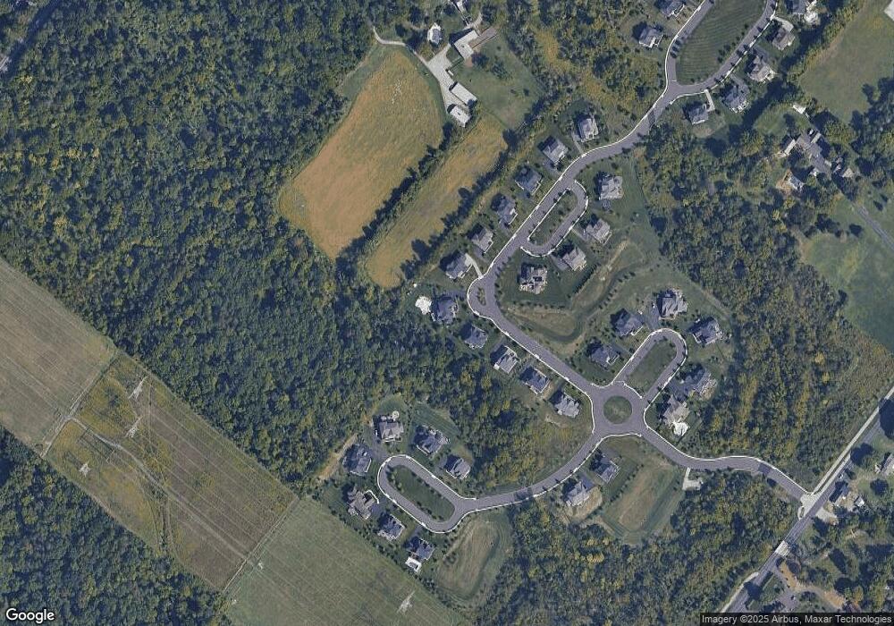
Map
Nearby Homes
- 2564 W Skippack Pike
- 1921 Whitehall Rd
- 870 Reynards Run
- 2098 Deep Meadow Ln
- 2099 Deep Meadow Ln
- 2624 Hawthorn Dr
- 2 Capri Ln Unit KINSLEY
- 1815 LOT 1 Yost Rd
- 2501 Pond View Dr
- 2725 Skippack Pike
- 116 Brindle Ct
- 388 Hobson Place
- 376 Hobson Place
- 105 Birkdale Dr Unit 641
- 191 Canterbury Ln Unit 61
- 1401 Oak Cir
- 234 Winged Foot Dr Unit 346
- 145 Sawgrass Dr Unit 307
- 127 Spyglass Dr Unit 434
- 311 Primrose Dr