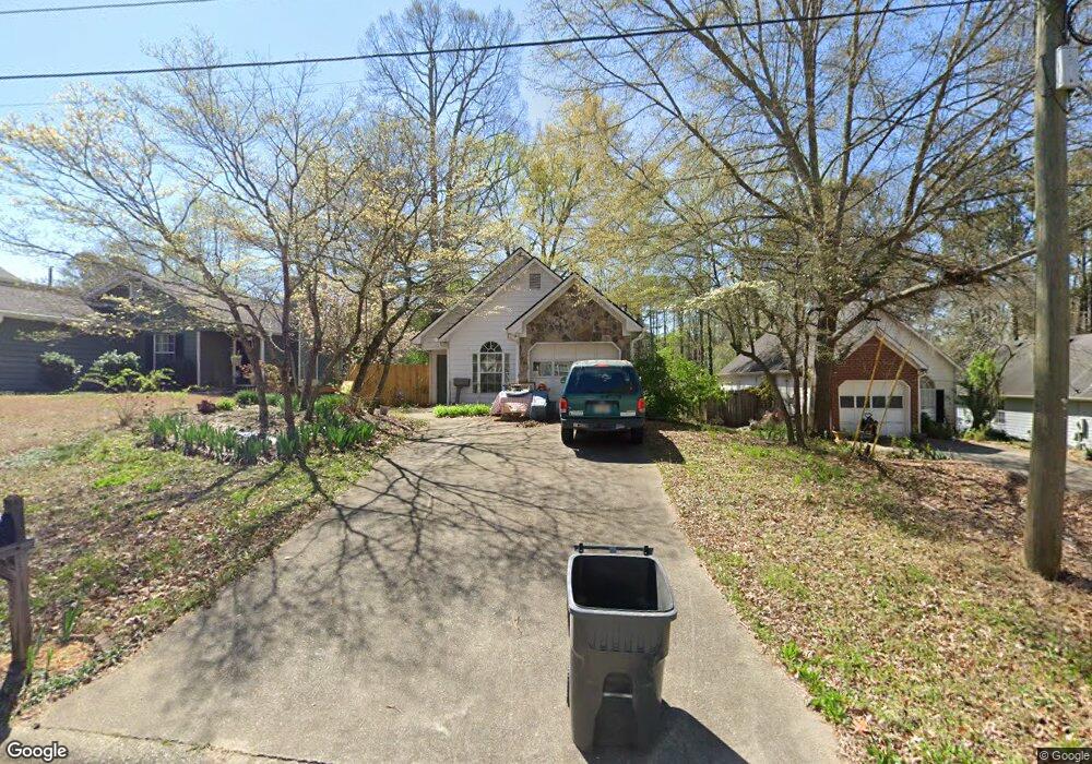
1879 Drew Cir Austell, GA 30168
Estimated Value: $257,846 - $290,000
3
Beds
2
Baths
1,127
Sq Ft
$238/Sq Ft
Est. Value
About This Home
This home is located at 1879 Drew Cir, Austell, GA 30168 and is currently estimated at $268,712, approximately $238 per square foot. 1879 Drew Cir is a home located in Cobb County with nearby schools including Mableton Elementary School, Garrett Middle School, and South Cobb High School.
Ownership History
Date
Name
Owned For
Owner Type
Purchase Details
Closed on
Jan 22, 1997
Sold by
Richard Van Dyke Bldr
Bought by
Sloan Shirley J
Current Estimated Value
Purchase Details
Closed on
May 23, 1994
Sold by
Richard Van Dyke Bldr Inc
Bought by
Biggs Joseph F Athena D
Home Financials for this Owner
Home Financials are based on the most recent Mortgage that was taken out on this home.
Original Mortgage
$42,520
Interest Rate
8.52%
Mortgage Type
Assumption
Purchase Details
Closed on
May 3, 1994
Sold by
Robinson Emery Sonya
Bought by
Van Dyke Richard Bldr Inc
Home Financials for this Owner
Home Financials are based on the most recent Mortgage that was taken out on this home.
Original Mortgage
$42,520
Interest Rate
8.52%
Mortgage Type
Assumption
Purchase Details
Closed on
Dec 29, 1993
Sold by
Van Dyke Richard Bldr Inc
Bought by
Robinson Emery Sonja
Create a Home Valuation Report for This Property
The Home Valuation Report is an in-depth analysis detailing your home's value as well as a comparison with similar homes in the area
Home Values in the Area
Average Home Value in this Area
Purchase History
| Date | Buyer | Sale Price | Title Company |
|---|---|---|---|
| Sloan Shirley J | $75,000 | -- | |
| Biggs Joseph F Athena D | $73,000 | -- | |
| Van Dyke Richard Bldr Inc | $75,000 | -- | |
| Robinson Emery Sonja | $67,000 | -- |
Source: Public Records
Mortgage History
| Date | Status | Borrower | Loan Amount |
|---|---|---|---|
| Previous Owner | Biggs Joseph F Athena D | $42,520 | |
| Closed | Robinson Emery Sonja | -- | |
| Closed | Biggs Joseph F Athena D | $71,500 | |
| Closed | Sloan Shirley J | $0 |
Source: Public Records
Tax History
| Year | Tax Paid | Tax Assessment Tax Assessment Total Assessment is a certain percentage of the fair market value that is determined by local assessors to be the total taxable value of land and additions on the property. | Land | Improvement |
|---|---|---|---|---|
| 2025 | $512 | $116,800 | $22,400 | $94,400 |
| 2024 | $514 | $116,800 | $22,400 | $94,400 |
| 2023 | $308 | $116,800 | $22,400 | $94,400 |
Source: Public Records
Map
Nearby Homes
- 5804 S Gordon Rd
- 2042 Linda Dr SW
- 0 Dogwood Cir Unit 10666145
- 0 Dogwood Cir Unit 7671035
- 0 Dogwood Cir Unit 10630776
- 0 Dogwood Cir Unit 7697362
- 1995 Oak Ct
- 1984 Brenda Dr
- 1794 Blossom Ln
- 1676 Veterans Memorial Hwy SW
- 1628 Pendley Dr
- 2115 Venesa Cir
- 1591 Pendley Dr
- 5425 Davis Dr
- 5590 Lakeview Dr SW
- 2290 Ravencliff Dr Unit 130
- 2290 Ravencliff Dr
- 2115 Ravencliff Dr
- 1841 Mobley St
- 5474 June Dr SW
Your Personal Tour Guide
Ask me questions while you tour the home.