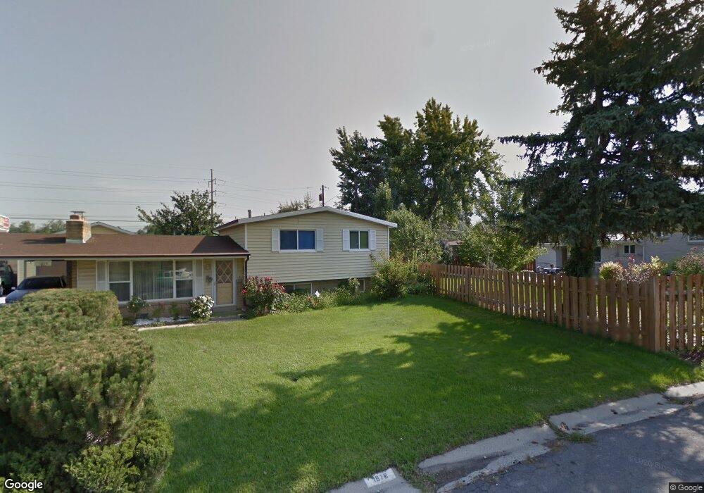
1879 E 7030 S Salt Lake City, UT 84121
Estimated Value: $572,000 - $596,046
3
Beds
2
Baths
1,130
Sq Ft
$514/Sq Ft
Est. Value
About This Home
This home is located at 1879 E 7030 S, Salt Lake City, UT 84121 and is currently estimated at $581,012, approximately $514 per square foot. 1879 E 7030 S is a home located in Salt Lake County with nearby schools including Ridgecrest School, Butler Middle School, and Brighton High School.
Ownership History
Date
Name
Owned For
Owner Type
Purchase Details
Closed on
Jan 3, 2018
Sold by
Hopes Daniel H
Bought by
Heights Cottonwood
Current Estimated Value
Home Financials for this Owner
Home Financials are based on the most recent Mortgage that was taken out on this home.
Original Mortgage
$232,000
Outstanding Balance
$195,780
Interest Rate
3.94%
Mortgage Type
New Conventional
Estimated Equity
$385,232
Purchase Details
Closed on
Feb 10, 2005
Sold by
Hopes Betty T
Bought by
Hopes Betty T and Betty T Hopes 2005 Trust
Create a Home Valuation Report for This Property
The Home Valuation Report is an in-depth analysis detailing your home's value as well as a comparison with similar homes in the area
Home Values in the Area
Average Home Value in this Area
Purchase History
| Date | Buyer | Sale Price | Title Company |
|---|---|---|---|
| Heights Cottonwood | -- | Paramount Title | |
| Hopes Betty T | -- | -- |
Source: Public Records
Mortgage History
| Date | Status | Borrower | Loan Amount |
|---|---|---|---|
| Open | Heights Cottonwood | $232,000 |
Source: Public Records
Tax History Compared to Growth
Tax History
| Year | Tax Paid | Tax Assessment Tax Assessment Total Assessment is a certain percentage of the fair market value that is determined by local assessors to be the total taxable value of land and additions on the property. | Land | Improvement |
|---|---|---|---|---|
| 2025 | $3,052 | $555,900 | $158,100 | $397,800 |
| 2024 | $3,052 | $544,300 | $146,400 | $397,900 |
| 2023 | $3,297 | $571,700 | $139,200 | $432,500 |
| 2022 | $3,199 | $547,300 | $136,500 | $410,800 |
| 2021 | $2,603 | $370,700 | $114,100 | $256,600 |
| 2020 | $2,506 | $335,400 | $104,300 | $231,100 |
| 2019 | $2,399 | $311,700 | $104,300 | $207,400 |
| 2018 | $2,118 | $286,200 | $104,300 | $181,900 |
| 2017 | $1,901 | $249,100 | $87,800 | $161,300 |
| 2016 | $1,856 | $235,900 | $87,800 | $148,100 |
| 2015 | $1,928 | $227,100 | $85,100 | $142,000 |
| 2014 | $1,826 | $209,000 | $79,200 | $129,800 |
Source: Public Records
Map
Nearby Homes
- 1920 E 7130 S
- 1895 E 7160 S
- 1938 E 7130 S
- 6851 Meadow Dr E
- 7138 S Chris Ln
- 7044 S 1700 E
- 7265 S 1950 E Unit 18
- 7265 S 1950 E Unit 14
- 2063 E Kane Cir
- 7034 S Cadens Cove
- 7094 S Cadens Cove
- 2099 Worchester Dr
- 1695 E Ensign Place
- 7187 Villandrie Ln
- 7195 S Villandrie Ln
- 2134 Somerset Dr
- 6700 S 1655 E
- 2110 Lonsdale Dr
- 2057 E Castle Hill Ave
- 2129 E Villaire Ave
- 1879 E 7020 S
- 1871 E 7030 S
- 7024 De Ville Dr
- 7012 De Ville Dr
- 7038 De Ville Dr
- 7038 S De Ville Dr
- 1870 E 7030 S
- 1870 E 7020 S
- 1861 E 7030 S
- 1888 E Ft Union Blvd
- 1888 E Fort Union Blvd
- 1861 E 7020 S
- 7033 S 1850 E
- 7048 De Ville Dr
- 7041 S De Ville Dr
- 7041 De Ville Dr
- 7011 S De Ville Dr
- 7011 De Ville Dr
- 1851 E 7030 S
- 7047 S 1850 E