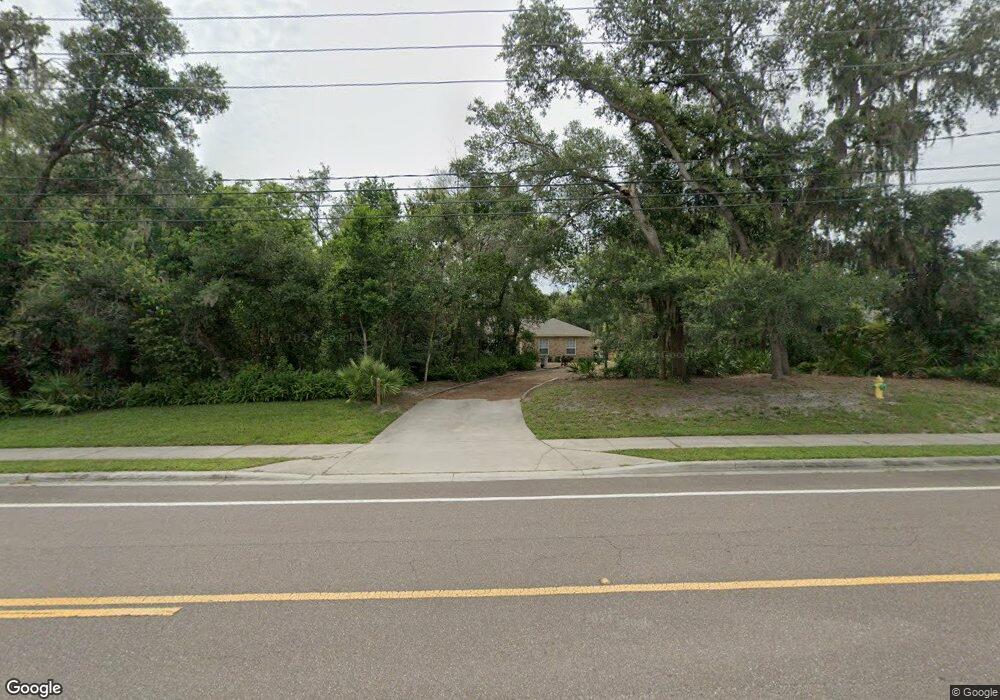
1879 E Normandy Blvd Deltona, FL 32725
Estimated Value: $432,000 - $541,000
4
Beds
3
Baths
2,913
Sq Ft
$167/Sq Ft
Est. Value
About This Home
This home is located at 1879 E Normandy Blvd, Deltona, FL 32725 and is currently estimated at $486,532, approximately $167 per square foot. 1879 E Normandy Blvd is a home located in Volusia County with nearby schools including Forest Lake Elementary School, Heritage Middle School, and Pine Ridge High School.
Ownership History
Date
Name
Owned For
Owner Type
Purchase Details
Closed on
Jul 24, 2000
Sold by
4Ns Inc
Bought by
Philip A Bullis Bldr Inc
Current Estimated Value
Home Financials for this Owner
Home Financials are based on the most recent Mortgage that was taken out on this home.
Original Mortgage
$90,181
Outstanding Balance
$30,896
Interest Rate
8.23%
Estimated Equity
$455,636
Purchase Details
Closed on
Sep 15, 1990
Bought by
Bullis Phillip A and Bullis Gloria J
Purchase Details
Closed on
Jan 15, 1968
Bought by
Bullis Phillip A and Bullis Gloria J
Create a Home Valuation Report for This Property
The Home Valuation Report is an in-depth analysis detailing your home's value as well as a comparison with similar homes in the area
Home Values in the Area
Average Home Value in this Area
Purchase History
| Date | Buyer | Sale Price | Title Company |
|---|---|---|---|
| Philip A Bullis Bldr Inc | -- | -- | |
| Bullis Phillip A | $32,000 | -- | |
| Bullis Phillip A | $2,300 | -- |
Source: Public Records
Mortgage History
| Date | Status | Borrower | Loan Amount |
|---|---|---|---|
| Open | Philip A Bullis Bldr Inc | $90,181 |
Source: Public Records
Tax History
| Year | Tax Paid | Tax Assessment Tax Assessment Total Assessment is a certain percentage of the fair market value that is determined by local assessors to be the total taxable value of land and additions on the property. | Land | Improvement |
|---|---|---|---|---|
| 2026 | $2,130 | $165,834 | -- | -- |
| 2025 | $2,130 | $165,834 | -- | -- |
| 2024 | $1,904 | $161,161 | -- | -- |
| 2023 | $1,904 | $156,467 | $0 | $0 |
| 2022 | $2,522 | $151,910 | $0 | $0 |
| 2021 | $2,582 | $147,485 | $0 | $0 |
| 2020 | $1,211 | $145,449 | $0 | $0 |
| 2019 | $1,244 | $142,179 | $0 | $0 |
| 2018 | $1,251 | $139,528 | $0 | $0 |
| 2017 | $1,241 | $136,658 | $0 | $0 |
| 2016 | $1,695 | $133,847 | $0 | $0 |
| 2015 | $1,727 | $132,917 | $0 | $0 |
| 2014 | $2,470 | $131,862 | $0 | $0 |
Source: Public Records
Map
Nearby Homes
- 1901 Odham Dr
- 1792 Paco Ct
- 1788 E Normandy Blvd
- 1891 Marysville Dr
- 1778 E Normandy Blvd
- 1768 E Normandy Blvd
- 731 Brechner Terrace
- 1009 Fort Smith Blvd
- 1057 Fort Smith Blvd
- 868 Saxon Blvd
- 2046 Galahad Dr
- 1906 Kingway Dr
- 968 Fort Smith Blvd
- 2050 Swanson Dr
- 937 Potomac Ave
- 1680 E Normandy Blvd
- 1106 Swanson Dr
- 1668 W Waycross Cir
- 973 Radford Dr
- 732 Fort Smith Blvd
- 1869 E Normandy Blvd
- 880 E Lehigh Dr
- 1859 E Normandy Blvd
- 860 E Lehigh Dr
- 1906 Odham Dr
- 1868 Clay Ct
- 1876 E Normandy Blvd
- 1898 Odham Dr
- 1880 E Normandy Blvd
- 1849 E Normandy Blvd
- 1884 E Normandy Blvd
- 895 E Lehigh Dr
- 899 E Lehigh Dr
- 1890 Odham Dr
- 1888 E Normandy Blvd
- 1858 Clay Ct
- 1841 E Normandy Blvd
- 1844 Clay Ct
- 1892 E Normandy Blvd
- 865 E Lehigh Dr
Your Personal Tour Guide
Ask me questions while you tour the home.