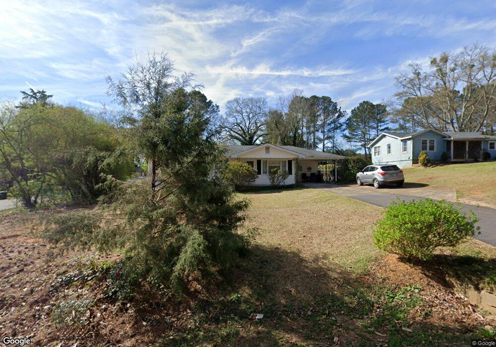
1879 Seayes Rd Austell, GA 30106
Estimated Value: $283,000 - $319,000
4
Beds
2
Baths
1,899
Sq Ft
$158/Sq Ft
Est. Value
About This Home
This home is located at 1879 Seayes Rd, Austell, GA 30106 and is currently estimated at $300,440, approximately $158 per square foot. 1879 Seayes Rd is a home located in Cobb County with nearby schools including Sanders Elementary School, Garrett Middle School, and South Cobb High School.
Ownership History
Date
Name
Owned For
Owner Type
Purchase Details
Closed on
Jul 25, 2018
Sold by
Truett Debra
Bought by
Truett Allen
Current Estimated Value
Purchase Details
Closed on
Jun 5, 2010
Sold by
Truett Allen
Bought by
Truett Debra K
Purchase Details
Closed on
Feb 1, 2008
Sold by
Truett Debra K
Bought by
Truett Allen and Munn Darien
Home Financials for this Owner
Home Financials are based on the most recent Mortgage that was taken out on this home.
Original Mortgage
$126,700
Interest Rate
6.22%
Mortgage Type
New Conventional
Create a Home Valuation Report for This Property
The Home Valuation Report is an in-depth analysis detailing your home's value as well as a comparison with similar homes in the area
Home Values in the Area
Average Home Value in this Area
Purchase History
| Date | Buyer | Sale Price | Title Company |
|---|---|---|---|
| Truett Allen | -- | -- | |
| Truett Debra K | -- | -- | |
| Truett Allen | $31,800 | -- |
Source: Public Records
Mortgage History
| Date | Status | Borrower | Loan Amount |
|---|---|---|---|
| Previous Owner | Truett Allen | $126,700 |
Source: Public Records
Tax History
| Year | Tax Paid | Tax Assessment Tax Assessment Total Assessment is a certain percentage of the fair market value that is determined by local assessors to be the total taxable value of land and additions on the property. | Land | Improvement |
|---|---|---|---|---|
| 2025 | $596 | $96,100 | $34,008 | $62,092 |
| 2024 | $598 | $96,100 | $34,008 | $62,092 |
| 2023 | $347 | $81,052 | $37,588 | $43,464 |
Source: Public Records
Map
Nearby Homes
- 4688 Bennett St
- 4778 Garrett Dr SW
- 1741 Seayes Rd
- 1756 Fairview Cir
- 4814 Clove Dr SW
- 2035 Mcduffie Rd
- 1809 Elmwood Dr
- 4630 Hemlock Dr
- 1808 Elmwood Dr
- 2034 Drennon Ave
- 4809 Hemlock Dr
- 4390 Chelou Dr
- 1590 Debbie Dr SW
- 2110 Plum Ln
- 4349 Kousa Rd Unit 4
- 0 Clay Rd
- 2081 Lenoa Ln
- 2083 Lenoa Ln
- 2050 Lenoa Ln
- 2085 Lenoa Ln
- 1889 Seayes Rd
- 1833 Seayes Rd
- 4691 Roberta Cir
- 1872 Seayes Rd
- 4693 Roberta Cir
- 4676 Bennett St Unit 1
- 1837 Seayes Rd
- 1910 Seayes Rd
- 4709 Roberta Cir
- 1919 Seayes Rd
- 0 Seayes Rd SW Unit 8588936
- 0 Seayes Rd SW
- 4698 Bennett St
- 4710 Bennett St
- 1813 Seayes Rd Unit 1
- 4719 Roberta Cir Unit 2
- 4685 Bennett St
- 4720 Bennett St
- 1805 Seayes Rd
- 4731 Roberta Cir
Your Personal Tour Guide
Ask me questions while you tour the home.