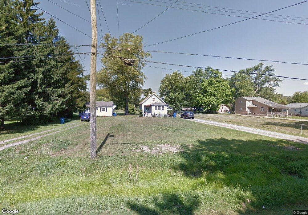
1879 Spaulding Rd Monroe, MI 48162
Estimated Value: $160,000 - $227,324
3
Beds
1
Bath
772
Sq Ft
$261/Sq Ft
Est. Value
About This Home
This home is located at 1879 Spaulding Rd, Monroe, MI 48162 and is currently estimated at $201,331, approximately $260 per square foot. 1879 Spaulding Rd is a home located in Monroe County with nearby schools including Jefferson High School, Triumph Academy, and Zion Lutheran School.
Ownership History
Date
Name
Owned For
Owner Type
Purchase Details
Closed on
Aug 23, 2019
Sold by
See Miles T
Bought by
Rosensteel Raymond A and Emond Jessica L
Current Estimated Value
Purchase Details
Closed on
Aug 19, 2019
Sold by
Miles T See
Bought by
See Miles T
Purchase Details
Closed on
Nov 25, 2015
Sold by
See Judith S and Estate Of Larry J See
Bought by
See Judith S
Purchase Details
Closed on
Feb 2, 2012
Sold by
Hsbc Mortgage Services Inc
Bought by
See Larry J
Purchase Details
Closed on
Jan 27, 2010
Sold by
Langton Michael
Bought by
Hsbc Mortgage Services Inc
Create a Home Valuation Report for This Property
The Home Valuation Report is an in-depth analysis detailing your home's value as well as a comparison with similar homes in the area
Home Values in the Area
Average Home Value in this Area
Purchase History
| Date | Buyer | Sale Price | Title Company |
|---|---|---|---|
| Rosensteel Raymond A | $35,000 | Hassett Title | |
| See Larry J | -- | Hassett Title | |
| See Miles T | -- | Hassett Title | |
| See Judith S | -- | None Available | |
| See Larry J | $23,900 | -- | |
| Hsbc Mortgage Services Inc | $18,676 | -- |
Source: Public Records
Tax History
| Year | Tax Paid | Tax Assessment Tax Assessment Total Assessment is a certain percentage of the fair market value that is determined by local assessors to be the total taxable value of land and additions on the property. | Land | Improvement |
|---|---|---|---|---|
| 2025 | $997 | $98,900 | $98,900 | $0 |
| 2024 | $967 | $95,500 | $0 | $0 |
| 2023 | $921 | $82,200 | $0 | $0 |
| 2022 | $2,696 | $82,200 | $0 | $0 |
| 2021 | $2,614 | $81,000 | $0 | $0 |
| 2020 | $2,660 | $75,300 | $0 | $0 |
| 2019 | $2,527 | $75,300 | $0 | $0 |
| 2018 | $2,999 | $59,000 | $0 | $0 |
| 2017 | $600 | $59,000 | $0 | $0 |
| 2016 | $2,934 | $55,100 | $0 | $0 |
| 2015 | $2,558 | $55,600 | $0 | $0 |
| 2014 | $2,647 | $55,600 | $0 | $0 |
| 2013 | -- | $55,400 | $0 | $0 |
Source: Public Records
Map
Nearby Homes
- 2113 Spaulding Rd
- 714 Bethpage Ct
- 616 Cole Rd
- 1605 Arbor Ave
- 0 Cole Rd
- 1310 Arbor Ave
- 1333 Riverview Ave
- 012 Frenchtown Center Dr
- 011 Frenchtown Center Dr
- 2072 Country Club Cir
- VACANT Nadeau
- 2077 Park Place Ct
- 2071 Park Place Ct
- 1776 N Monroe St
- 1290 N Monroe St Unit B
- 1290 N Monroe St Unit A
- 00 N Monroe St
- 1008 Maple Ave
- 000 N Monroe St
- 623 Maywood Ave
- 1917 Spaulding Rd
- 1857 Spaulding Rd
- 1929 Spaulding Rd
- 1925 Spaulding Rd
- 1845 Spaulding Rd
- 1835 Spaulding Rd
- 1937 Spaulding Rd
- 1848 Spaulding Rd
- 1886 Spaulding Rd
- 1888 Spaulding Rd
- 1846 Spaulding Rd
- 1090 Cole Rd
- 1825 Spaulding Rd
- 1945 Spaulding Rd
- 1894 Spaulding Rd
- 1882 Spaulding Rd
- 1130 Cole Rd
- 1844 Spaulding Rd
- 1898 Spaulding Rd
- 1150 Cole Rd
Your Personal Tour Guide
Ask me questions while you tour the home.