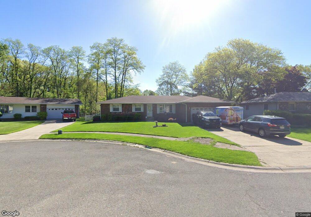
1879 Tonia St Portage, IN 46368
Estimated Value: $273,000 - $301,000
3
Beds
2
Baths
1,719
Sq Ft
$167/Sq Ft
Est. Value
About This Home
This home is located at 1879 Tonia St, Portage, IN 46368 and is currently estimated at $286,536, approximately $166 per square foot. 1879 Tonia St is a home located in Porter County with nearby schools including Crisman Elementary School, Willowcreek Middle School, and Portage High School.
Ownership History
Date
Name
Owned For
Owner Type
Purchase Details
Closed on
Aug 22, 2022
Sold by
Hatch Michael W
Bought by
1879 Tonia Llc
Current Estimated Value
Purchase Details
Closed on
May 24, 2019
Sold by
Testamentar Vaught Lynn Anne and Testamentar James Langendorfer
Bought by
Hatch Michael W
Purchase Details
Closed on
Mar 11, 2019
Sold by
Vaught Lynn Anne and James Langendorfer Living Trus
Bought by
Testamentar Vaught Lynn Anne and Testamentar James Langendorfer
Purchase Details
Closed on
Jul 31, 2001
Sold by
Langendorfer James and Langendorfer Barbara Ann
Bought by
Langendorfer James and Langendorfer Barbara A
Create a Home Valuation Report for This Property
The Home Valuation Report is an in-depth analysis detailing your home's value as well as a comparison with similar homes in the area
Home Values in the Area
Average Home Value in this Area
Purchase History
| Date | Buyer | Sale Price | Title Company |
|---|---|---|---|
| 1879 Tonia Llc | -- | None Listed On Document | |
| Hatch Michael W | $180,000 | Lendserv National Title Inc F/ | |
| Testamentar Vaught Lynn Anne | -- | None Available | |
| Langendorfer James | -- | None Available |
Source: Public Records
Tax History Compared to Growth
Tax History
| Year | Tax Paid | Tax Assessment Tax Assessment Total Assessment is a certain percentage of the fair market value that is determined by local assessors to be the total taxable value of land and additions on the property. | Land | Improvement |
|---|---|---|---|---|
| 2024 | $5,866 | $293,600 | $32,900 | $260,700 |
| 2023 | $4,556 | $292,200 | $31,700 | $260,500 |
| 2022 | $4,536 | $226,700 | $31,700 | $195,000 |
| 2021 | $3,862 | $192,000 | $31,700 | $160,300 |
| 2020 | $4,198 | $208,800 | $27,400 | $181,400 |
| 2019 | $1,978 | $195,300 | $27,400 | $167,900 |
| 2018 | $1,919 | $189,400 | $27,400 | $162,000 |
| 2017 | $1,876 | $185,100 | $27,400 | $157,700 |
| 2016 | $1,810 | $178,500 | $34,100 | $144,400 |
| 2014 | $1,778 | $175,200 | $33,800 | $141,400 |
| 2013 | -- | $167,600 | $34,500 | $133,100 |
Source: Public Records
Map
Nearby Homes
- 6490 Old Porter Rd
- 6698 Monument Ave
- 1902 Driftwood St
- 1935 Samuelson Rd
- 2065 Jefferson St
- 6540 Monument Ave
- 1766 Samuelson Rd
- 1848 Truman St
- 6340 Melton Rd
- 2191 Hamilton St
- 0 Northwood Trail Unit NRA811704
- 6697 Federal Ave
- 6281 Old Porter Rd
- 2262 Rodeo St
- 1980 Crisman Rd
- 2183 Foley St
- 2230 Foley St
- 2182 Foley St
- 2168 Austin St
- 2176 Mccool Rd
- 1887 Tonia St
- 1871 Tonia St
- 1886 Greentree St
- 1895 Tonia St
- 6600 Kandi Ave
- 1886 Tonia St
- 1894 Greentree St
- 1878 Greentree St
- 6592 Kandi Ave
- 1903 Tonia St
- 1902 Greentree St
- 1894 Tonia St
- 6585 Kandi Ave
- 6584 Kandi Ave
- 1902 Tonia St
- 1910 Greentree St
- 1911 Tonia St
- 1879 Greentree St
- 6577 Kandi Ave
- 1910 Tonia St