187C Takemmy Path Vineyard Haven, MA 02568
Vineyard Haven NeighborhoodEstimated Value: $509,897 - $1,481,000
2
Beds
2
Baths
1,076
Sq Ft
$883/Sq Ft
Est. Value
About This Home
This home is located at 187C Takemmy Path, Vineyard Haven, MA 02568 and is currently estimated at $949,724, approximately $882 per square foot. 187C Takemmy Path is a home located in Dukes County with nearby schools including Tisbury Elementary School, Martha's Vineyard Regional High School, and Martha's Vineyard Charter School.
Ownership History
Date
Name
Owned For
Owner Type
Purchase Details
Closed on
Dec 15, 2010
Sold by
Reubens Darran E
Bought by
Reubens She
Current Estimated Value
Home Financials for this Owner
Home Financials are based on the most recent Mortgage that was taken out on this home.
Original Mortgage
$200,000
Outstanding Balance
$132,203
Interest Rate
4.23%
Mortgage Type
Purchase Money Mortgage
Estimated Equity
$817,521
Create a Home Valuation Report for This Property
The Home Valuation Report is an in-depth analysis detailing your home's value as well as a comparison with similar homes in the area
Home Values in the Area
Average Home Value in this Area
Purchase History
| Date | Buyer | Sale Price | Title Company |
|---|---|---|---|
| Reubens She | $30,000 | -- |
Source: Public Records
Mortgage History
| Date | Status | Borrower | Loan Amount |
|---|---|---|---|
| Open | Reubens She | $200,000 |
Source: Public Records
Tax History Compared to Growth
Tax History
| Year | Tax Paid | Tax Assessment Tax Assessment Total Assessment is a certain percentage of the fair market value that is determined by local assessors to be the total taxable value of land and additions on the property. | Land | Improvement |
|---|---|---|---|---|
| 2025 | $2,897 | $382,730 | $0 | $382,730 |
| 2024 | $2,988 | $374,490 | $0 | $374,490 |
| 2023 | $2,663 | $363,858 | $0 | $363,858 |
| 2022 | $3,016 | $346,612 | $0 | $346,612 |
| 2021 | $3,081 | $335,980 | $0 | $335,980 |
| 2020 | $3,135 | $335,980 | $0 | $335,980 |
| 2019 | $2,983 | $325,348 | $0 | $325,348 |
| 2018 | $2,953 | $312,448 | $0 | $312,448 |
| 2017 | $2,781 | $305,271 | $0 | $305,271 |
| 2016 | $2,748 | $299,955 | $0 | $299,955 |
| 2015 | $2,676 | $299,955 | $0 | $299,955 |
Source: Public Records
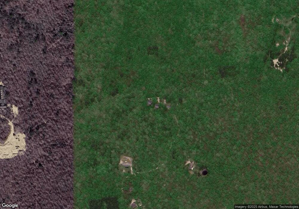
Map
Nearby Homes
- 4 Rock Pond Rd
- 71 Stoney Hill Rd
- 53 Stoney Hill Rd
- 105 Stoney Hill Rd
- 34 Pine Ln
- 12 Wheelhouse Way
- 56 Holmes Hole Rd Unit 10
- 56 Holmes Hole Rd
- 169 Clover Hill Dr
- 10 Trotters Ln
- 16 Red Coat Hill Rd
- 31 Lamberts Cove Rd
- 44 Iron Hill Rd
- 44 Iron Hill Rd Unit 1.7
- 44 Iron Hill Rd
- 12 Park Ave
- 39 Iron Hill Rd
- 50 Lantern Ln
- 51 Lantern Ln
- 157 Ben Chase Rd
- 187B Takemmy Path
- 187A Takemmy Path
- 0 Takemmy Path
- 230 Takemmy Path
- 280 Takemmy Path
- 2 Rock Pond Rd
- 6 Rock Pond Rd
- 7 Red Arrow Rd
- 3 Rock Pond Rd
- 7 Rock Pond Rd
- 8 Rock Pond Rd
- 10 Rock Pond Rd
- 9 Rock Pond Rd
- 11 Rock Pond Rd
- 1 Red Arrow Rd
- 16 Rock Pond Rd
- 335 Takemmy Path
- 1140 State Rd
- 13 Rock Pond Rd
- 14 Rock Pond Rd