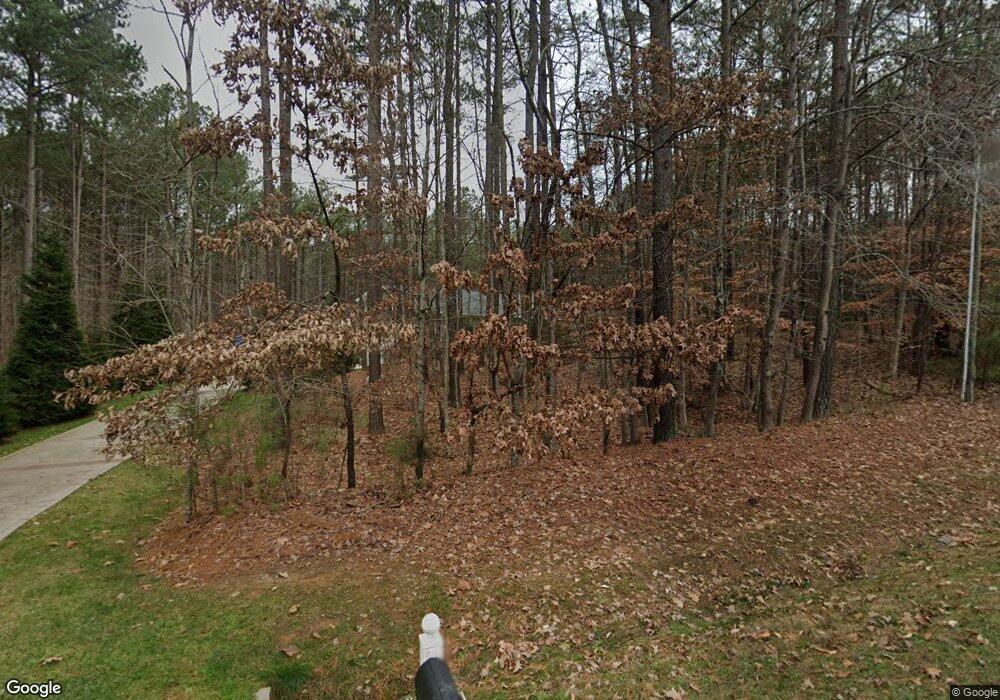
188 Apache Rd Troutman, NC 28166
Estimated Value: $698,000 - $828,000
3
Beds
2
Baths
2,368
Sq Ft
$326/Sq Ft
Est. Value
About This Home
This home is located at 188 Apache Rd, Troutman, NC 28166 and is currently estimated at $772,501, approximately $326 per square foot. 188 Apache Rd is a home with nearby schools including Troutman Elementary School, Troutman Middle School, and South Iredell High School.
Ownership History
Date
Name
Owned For
Owner Type
Purchase Details
Closed on
Mar 31, 2025
Sold by
Michael A Clark Family Trust and Clark Michael A
Bought by
Petrozelli William C and Petrozelli Nancy G
Current Estimated Value
Purchase Details
Closed on
Sep 18, 2020
Sold by
Clark Michael A and Clark Patricia F
Bought by
Clark Michael A and Clark Patricia F
Purchase Details
Closed on
Sep 16, 2013
Sold by
Lake Norman Motor Coach Resort Llc
Bought by
Clark Michael A and Clark Patricia F
Purchase Details
Closed on
Dec 1, 1993
Purchase Details
Closed on
Feb 27, 1971
Create a Home Valuation Report for This Property
The Home Valuation Report is an in-depth analysis detailing your home's value as well as a comparison with similar homes in the area
Home Values in the Area
Average Home Value in this Area
Purchase History
| Date | Buyer | Sale Price | Title Company |
|---|---|---|---|
| Petrozelli William C | $800,000 | Integrated Title | |
| Petrozelli William C | $800,000 | Integrated Title | |
| Clark Michael A | -- | None Available | |
| Clark Michael A | $95,000 | None Available | |
| -- | -- | -- | |
| -- | -- | -- |
Source: Public Records
Tax History Compared to Growth
Tax History
| Year | Tax Paid | Tax Assessment Tax Assessment Total Assessment is a certain percentage of the fair market value that is determined by local assessors to be the total taxable value of land and additions on the property. | Land | Improvement |
|---|---|---|---|---|
| 2024 | $6,104 | $549,430 | $150,000 | $399,430 |
| 2023 | $6,104 | $549,430 | $150,000 | $399,430 |
| 2022 | $4,388 | $373,930 | $90,000 | $283,930 |
| 2021 | $4,347 | $373,930 | $90,000 | $283,930 |
| 2020 | $4,347 | $373,930 | $90,000 | $283,930 |
| 2019 | $4,253 | $373,930 | $90,000 | $283,930 |
| 2018 | $3,484 | $307,130 | $54,400 | $252,730 |
| 2017 | $3,484 | $307,130 | $54,400 | $252,730 |
| 2016 | $3,484 | $307,130 | $54,400 | $252,730 |
| 2015 | $3,331 | $307,130 | $54,400 | $252,730 |
| 2014 | $555 | $54,400 | $54,400 | $0 |
Source: Public Records
Map
Nearby Homes
- 0 Brer Fox Trail Unit 6 CAR4256803
- 181 Stillwater Rd
- 111 Cinder Ridge Ct
- 119 Cinder Ridge Ct
- 157 Silver Falls Dr
- 177 Brer Fox Trail
- 307 Stillwater Rd
- 172 Tennessee Cir
- 406 Morrison Farm Rd
- 281 Marietta Rd
- 119 Marietta Rd
- 402 Wildlife Rd
- 115 Bentley Ct Unit 15
- 125 Bentley Ct Unit 14
- 110 Emmaline Ct
- 120 Bentley Ct Unit 5
- 179 Abington Ln
- L4 Marietta Rd
- 545 Morrison Farm Rd
- 152 Fox Hunt Dr
- 200 Apache Rd
- 0 Crown Ct
- 147 Lively Ln
- Lot #13 Apache Rd Unit 13
- 146 Park Crest Dr
- 126 Park Crest Dr
- 118 Park Crest Dr Unit 678
- 126 Park Crest Dr Unit 677
- 136 Park Crest Dr Unit 676
- 146 Park Crest Dr Unit 675
- 176 Park Crest Dr
- 176 Park Crest Dr Unit 671
- 120 Crown Ct
- Lot 16 Apache Rd
- Lot 16 Apache Rd Unit 16
- L664 Park Crest Dr
- L662 Park Crest Dr
- L660 Park Crest Dr
- L 676 Park Crest Dr
- Lt 668 Park Crest Dr
