188 Bobbit Rd Advance, NC 27006
Estimated Value: $514,000 - $1,269,000
3
Beds
3
Baths
2,688
Sq Ft
$326/Sq Ft
Est. Value
About This Home
This home is located at 188 Bobbit Rd, Advance, NC 27006 and is currently estimated at $875,284, approximately $325 per square foot. 188 Bobbit Rd is a home located in Davie County with nearby schools including Pinebrook Elementary School, North Davie Middle School, and Davie County High School.
Ownership History
Date
Name
Owned For
Owner Type
Purchase Details
Closed on
Oct 3, 2011
Sold by
Hinman Frank and Hinman Wendy D
Bought by
Deal Michael Dewey and Deal Sarah Noble
Current Estimated Value
Home Financials for this Owner
Home Financials are based on the most recent Mortgage that was taken out on this home.
Original Mortgage
$400,000
Outstanding Balance
$274,912
Interest Rate
4.26%
Mortgage Type
New Conventional
Estimated Equity
$600,372
Purchase Details
Closed on
Apr 1, 1992
Create a Home Valuation Report for This Property
The Home Valuation Report is an in-depth analysis detailing your home's value as well as a comparison with similar homes in the area
Purchase History
| Date | Buyer | Sale Price | Title Company |
|---|---|---|---|
| Deal Michael Dewey | $500,000 | -- | |
| -- | $38,500 | -- |
Source: Public Records
Mortgage History
| Date | Status | Borrower | Loan Amount |
|---|---|---|---|
| Open | Deal Michael Dewey | $400,000 |
Source: Public Records
Tax History
| Year | Tax Paid | Tax Assessment Tax Assessment Total Assessment is a certain percentage of the fair market value that is determined by local assessors to be the total taxable value of land and additions on the property. | Land | Improvement |
|---|---|---|---|---|
| 2025 | $3,616 | $525,180 | $0 | $0 |
| 2024 | $3,341 | $432,220 | $0 | $0 |
| 2023 | $3,341 | $432,220 | $0 | $0 |
| 2022 | $3,363 | $432,220 | $0 | $0 |
| 2021 | $3,341 | $432,220 | $0 | $0 |
| 2020 | $3,388 | $435,480 | $0 | $0 |
| 2019 | $6 | $363,670 | $0 | $0 |
| 2018 | $2,831 | $363,930 | $0 | $0 |
| 2017 | $2,795 | $363,930 | $0 | $0 |
| 2016 | $2,944 | $383,290 | $0 | $0 |
| 2015 | $2,944 | $383,290 | $0 | $0 |
| 2014 | -- | $383,290 | $0 | $0 |
| 2013 | -- | $383,290 | $0 | $0 |
Source: Public Records
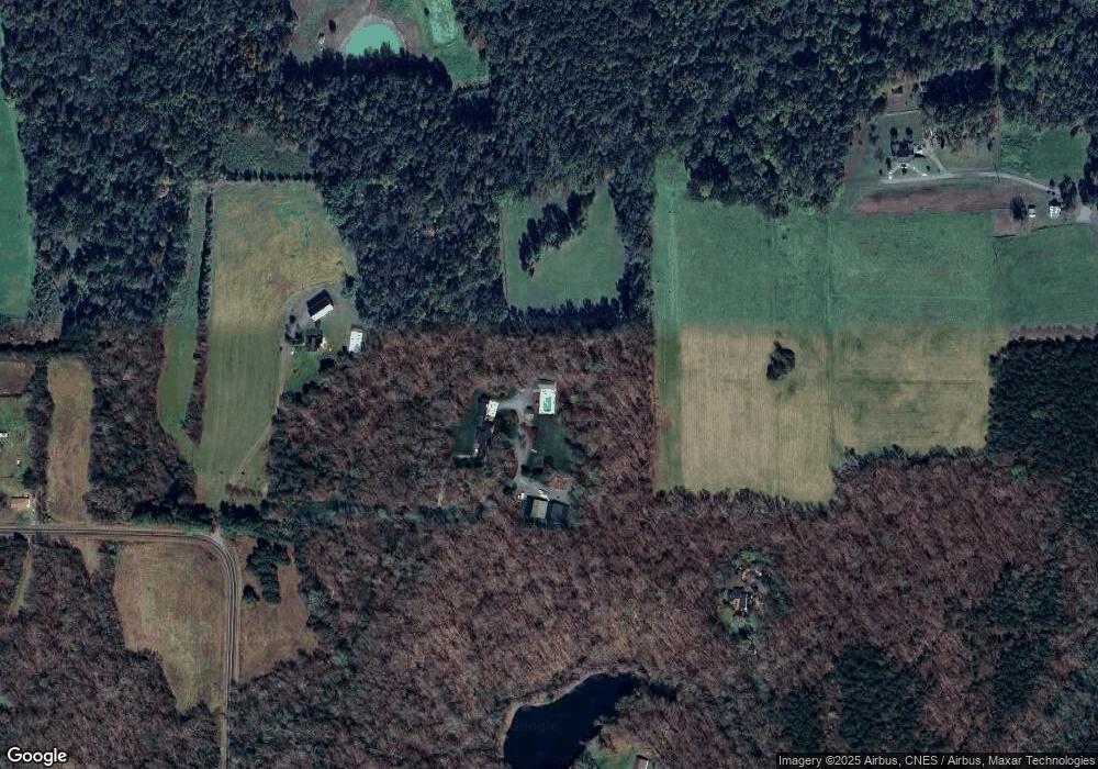
Map
Nearby Homes
- 844 Rainbow Rd
- 0 Mcknight Rd
- 300 Redland Rd
- 290 Redland Rd
- 147 W Renee Dr
- 4359 US Highway 158
- 169 King Arthur Ln
- 4338 U S 158
- 4350 US Highway 158
- 4350 U S 158
- 129 Howardtown Cir
- 182 Woodburn Place
- 195 S Claybon Dr
- 192 Armsworthy Rd
- 117 Candle Light Ct
- 300 Morning Star Dr
- 292 Morning Star Dr
- 265 Morning Star Dr
- 271 Morning Star Dr
- 118 Lovefeast Dr
Your Personal Tour Guide
Ask me questions while you tour the home.