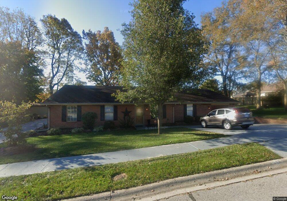
188 Brookside Dr Georgetown, KY 40324
South Scott County NeighborhoodEstimated Value: $345,527 - $433,000
3
Beds
1
Bath
2,375
Sq Ft
$162/Sq Ft
Est. Value
About This Home
This home is located at 188 Brookside Dr, Georgetown, KY 40324 and is currently estimated at $384,882, approximately $162 per square foot. 188 Brookside Dr is a home located in Scott County with nearby schools including Southern Elementary School, Georgetown Middle School, and Scott County High School.
Ownership History
Date
Name
Owned For
Owner Type
Purchase Details
Closed on
Dec 3, 2021
Sold by
Ishmael Timothy L and Ishmael Teresa L
Bought by
Struck Rebecca L
Current Estimated Value
Home Financials for this Owner
Home Financials are based on the most recent Mortgage that was taken out on this home.
Original Mortgage
$257,575
Outstanding Balance
$234,876
Interest Rate
3.09%
Mortgage Type
New Conventional
Estimated Equity
$150,006
Purchase Details
Closed on
Nov 15, 2008
Sold by
Ishmael Timothy L and Ishmael Teresa L
Bought by
Ishmael Timothy L
Home Financials for this Owner
Home Financials are based on the most recent Mortgage that was taken out on this home.
Original Mortgage
$178,825
Interest Rate
6.51%
Mortgage Type
FHA
Create a Home Valuation Report for This Property
The Home Valuation Report is an in-depth analysis detailing your home's value as well as a comparison with similar homes in the area
Home Values in the Area
Average Home Value in this Area
Purchase History
| Date | Buyer | Sale Price | Title Company |
|---|---|---|---|
| Struck Rebecca L | $255,000 | Foundation Title | |
| Ishmael Timothy L | -- | Lsi |
Source: Public Records
Mortgage History
| Date | Status | Borrower | Loan Amount |
|---|---|---|---|
| Open | Struck Rebecca L | $257,575 | |
| Previous Owner | Ishmael Timothy L | $178,825 |
Source: Public Records
Tax History
| Year | Tax Paid | Tax Assessment Tax Assessment Total Assessment is a certain percentage of the fair market value that is determined by local assessors to be the total taxable value of land and additions on the property. | Land | Improvement |
|---|---|---|---|---|
| 2025 | $2,042 | $278,400 | $0 | $0 |
| 2024 | $20 | $275,300 | $0 | $0 |
| 2023 | $1,985 | $265,300 | $30,000 | $235,300 |
| 2022 | $1,824 | $255,000 | $25,000 | $230,000 |
| 2021 | $1,892 | $200,900 | $25,000 | $175,900 |
| 2020 | $1,563 | $181,896 | $25,000 | $156,896 |
| 2019 | $1,588 | $181,896 | $0 | $0 |
| 2018 | $1,578 | $181,896 | $0 | $0 |
| 2017 | $1,586 | $181,896 | $0 | $0 |
| 2016 | $1,465 | $181,896 | $0 | $0 |
| 2015 | $1,323 | $165,300 | $0 | $0 |
| 2014 | $1,371 | $165,300 | $0 | $0 |
| 2011 | $108 | $174,400 | $0 | $0 |
Source: Public Records
Map
Nearby Homes
- 111 Hillside Dr
- 1010 Walker Way
- 512 Pocahontas Trail
- 131 Spring Bluff Dr
- 208 Montgomery Ave
- 117 Christal Dr
- 206 Hiawatha Trail
- 264 W Showalter Dr
- 232 W Showalter Dr
- 113 Walden Cove Unit 3I
- 251 W Showalter Dr
- 106 Somerset Cove
- 110 Sea Pines Way
- 164 Stapleton Way
- 1117 Pawnee Trail
- 98 Delissa Dr
- 111 E College St
- 144 Winding Creek Dr
- 442 General John Payne Blvd
- 306 N Water St
- 604 Mason Ct
- 111 Josie Trail
- 192 Brookside Dr
- 133 Springside Ave
- 120 Springside Ave
- 606 Mason Ct
- 109 Josie Trail
- 113 Josie Trail
- 196 Brookside Dr
- 602 Mason Ct
- 118 Springside Ave
- 123 Hillside Dr
- 0 Josie Trail
- 115 Josie Trail
- 608 Mason Ct
- 108 Chloe Ct
- 110 Josie Trail
- 127 Springside Ave
- 108 Josie Trail Unit 2
- 121 Hillside Dr
Your Personal Tour Guide
Ask me questions while you tour the home.